A hundred and eighty-five miles of towpath following the Thames from a Cotswold field to the Thames Barrier
Indicative — sampled from open terrain data along the simplified route.
The source itself is the first surprise for anyone who goes looking for it: a stone marker in a Cotswold field near Kemble, dry for most of the year, with no visible water anywhere close. A hundred and eighty-five miles later the same river is wide enough to need a barrier holding it back from London. Everything in between is, by British long-distance walking standards, remarkably gentle — flat towpath, well signed, rarely more than a field’s width from a pub.
Early on the path crosses Cotswold country before easing into the Chilterns and then the North Wessex Downs, chalk hills rising on both sides even where the river itself stays low and easy. Greys Court, a Tudor house with a walled garden and an old donkey wheel for drawing water, sits a short walk off the path near Rotherfield Greys. Nuffield Place, the unshowy home of car manufacturer William Morris, makes an odd but genuine contrast further along, a millionaire who lived with a frugality his fortune never really required.
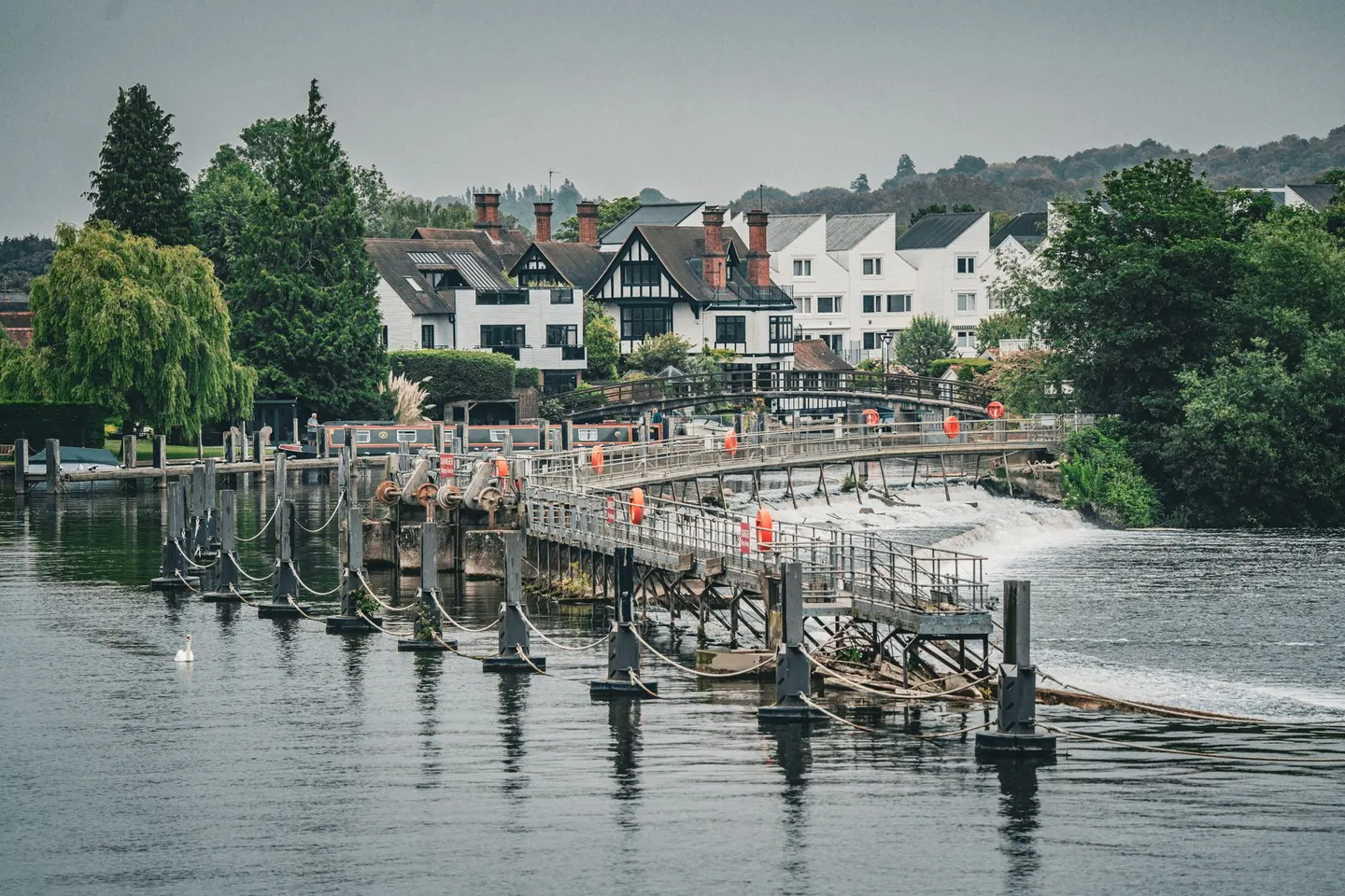
Locks mark the miles more reliably than any signpost, dozens of them between Kemble and Teddington, most with a lock-keeper’s cottage and usually somewhere to sit. Past Teddington the river turns tidal and the walking changes character again, city on both banks the rest of the way to the Barrier.
The whole route can be done as a series of day walks using train stations along the way, which is how most people actually manage it rather than in one continuous push. Flooding closes sections of towpath most winters, so a forecast check before setting out on the upper reaches is worth the two minutes it takes; the lower, London end floods far less but gets busy with cyclists who don’t always slow down for walkers.