About 68 miles across Oxfordshire from the Cotswolds to the Thames, Bourton-on-the-Water to Henley
Indicative — sampled from open terrain data along the simplified route.
The Oxfordshire Way runs about 68 miles from Bourton-on-the-Water in Gloucestershire to Henley-on-Thames, crossing the county from one edge to the other. Most walkers take four to six days. It is a route of two hillier ends and a gentle middle: the Cotswolds at the start and the Chilterns at the finish, both designated National Landscapes, with lower clay country in between.
From Bourton it climbs onto the Cotswold uplands and drops through the villages of the Evenlode valley — Shipton-under-Wychwood, Charlbury and others — before crossing the flat, wet common of Otmoor north of Oxford. Beyond there it works east through farmland and woods to reach the chalk hills of the Chilterns, coming down off them to end on the river at Henley.
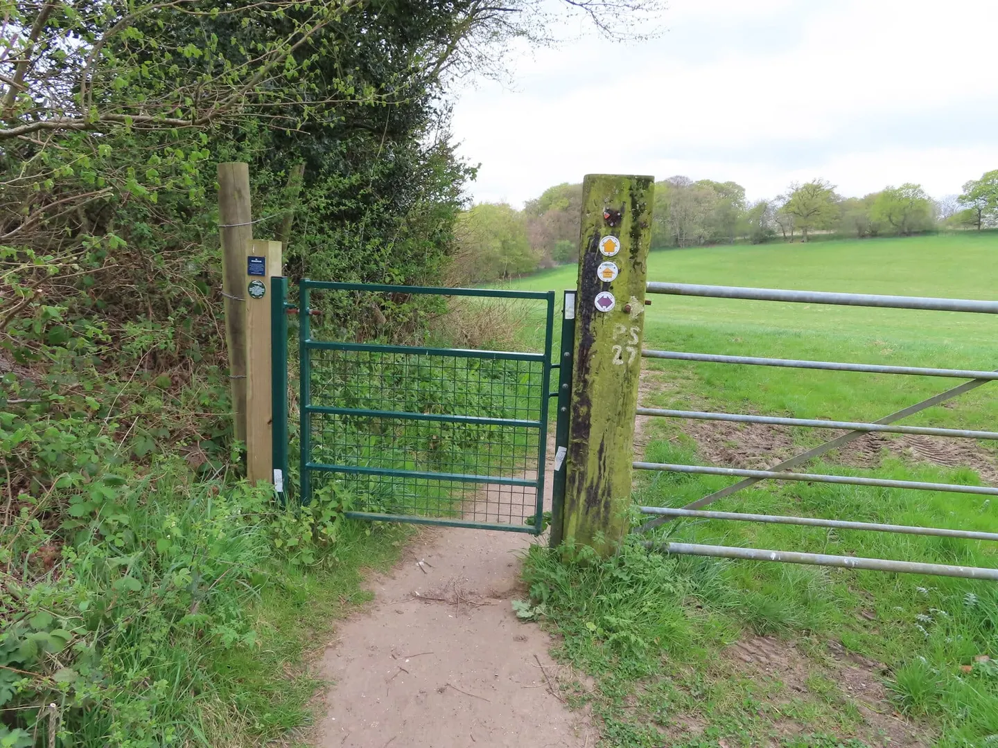
For a long route it is unusually easy to reach and to leave. Charlbury has a station on the line between Oxford and Worcester, and Henley sits at the end of its own branch from the Thames Valley main line, so sections can be walked point to point by train. The going is straightforward throughout, well waymarked, and never far from a village.
The Way was created in the 1970s by the local branch of the Council for the Protection of Rural England to show the variety of the county’s landscapes in a single walk. At Henley it meets the Thames Path, and at its western end it connects with the Heart of England Way, so it can be used as a link between longer routes as well as walked on its own.