A hundred and four miles from Cannock Chase to the Cotswolds, linking the Midland heaths to the limestone hills
Indicative — sampled from open terrain data along the simplified route.
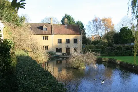
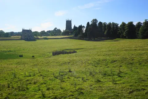
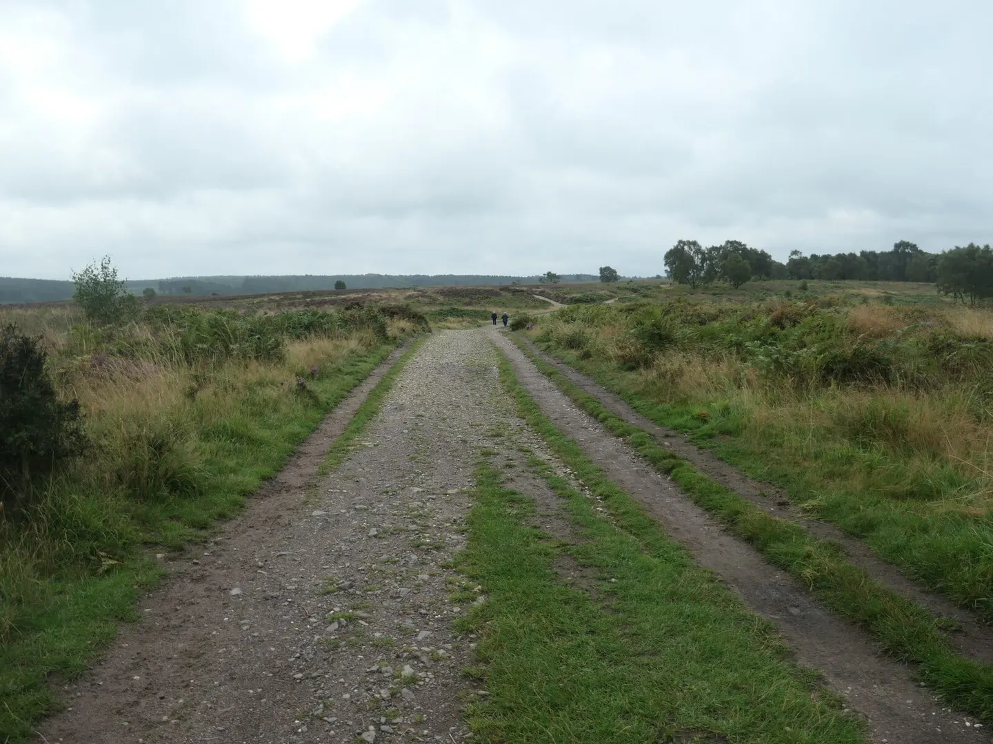
The Heart of England Way is a 104-mile trail across the Midlands, from Milford Common on Cannock Chase in Staffordshire to Bourton-on-the-Water in the Cotswolds. It links two well-known areas of upland — the sandy heaths of the Chase and the limestone hills of the Cotswolds — by a route through the ordinary farmed country in between, which is much of the point of it.
From Cannock Chase it crosses the valley of the River Tame and skirts the edge of the West Midlands conurbation, then enters the old Forest of Arden, the wooded Warwickshire country associated with Shakespeare, passing through Henley-in-Arden. South of the Avon it crosses the market-garden flats of the Vale of Evesham and climbs into Gloucestershire and the Cotswolds to finish at Bourton.
The walking is easy to moderate lowland going, well waymarked, with only the Cotswold section offering much climb. Because it crosses several other long-distance paths — among them the Staffordshire Way near the start and the Cotswold Way near the end — it can be joined into longer routes.
It is maintained by a volunteer association. The trail passes close to a number of stations across the Midlands, which makes it easy to walk in sections; note that stretches have been disrupted by the building of the HS2 railway, so it is worth checking the current line before setting out.