Offa's Dyke PathLlwybr Clawdd Offa
Local highlight285 kilometres tracing an eighth-century earthwork bank along the entire length of the Welsh border
Indicative — sampled from open terrain data along the simplified route.
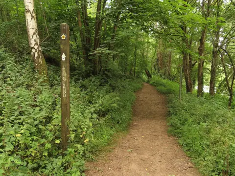
Offa was an eighth-century king of Mercia with, by the sound of it, very firm views on where his kingdom ended and Wales began, and the earthwork he had built to mark that line is still there in places, over a thousand years on, as a bank and ditch running through field and forest. The National Trail that now follows its route stretches 285 kilometres from Sedbury Cliffs near Chepstow up to the seafront at Prestatyn, crossing the border back and forth so many times that keeping track of which country you’re in stops being the point fairly early on.
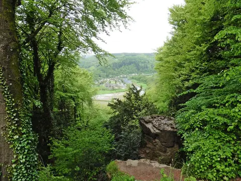
What makes the walk hang together is the sheer variety packed into one long border-following line. It runs through the Wye Valley early on, all wooded gorge and river bends, before climbing into the open, sheep-cropped uplands of the Shropshire Hills. Later it touches Bannau Brycheiniog and, near the northern end, the Clwydian Range & Dee Valley, finishing among hillforts that were old news even when Offa’s men were digging.
Hillforts, in fact, turn up constantly along the route, not as detours but sitting right on the path — Bury Ditches near the Shropshire section is one of the better-preserved examples, its ramparts still clearly readable from ground level. Most walkers take around a fortnight, give or take a few days, to do the whole thing, though the trail lends itself well to being chopped into shorter chunks tackled over separate trips, given how many road and rail crossings punctuate it along the way. The dyke bank itself isn’t always obvious underfoot, worn down by centuries of ploughing and grazing in places, so don’t expect a Roman-road-style earthwork the entire way — some stretches are best appreciated with a bit of imagination and a decent map. At Knighton the path meets Glyndŵr’s Way, Wales’s third National Trail, which loops west through mid-Wales and rejoins the border country at Welshpool.