Approximate location — this spot is pinned to the nearest village, so the exact point may be a little way off.
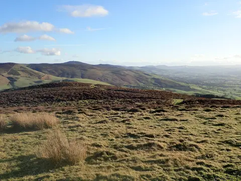
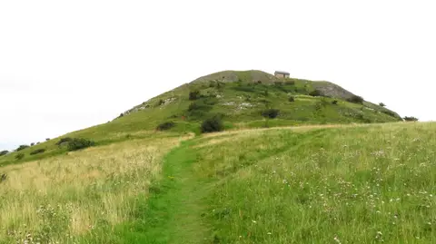
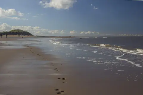
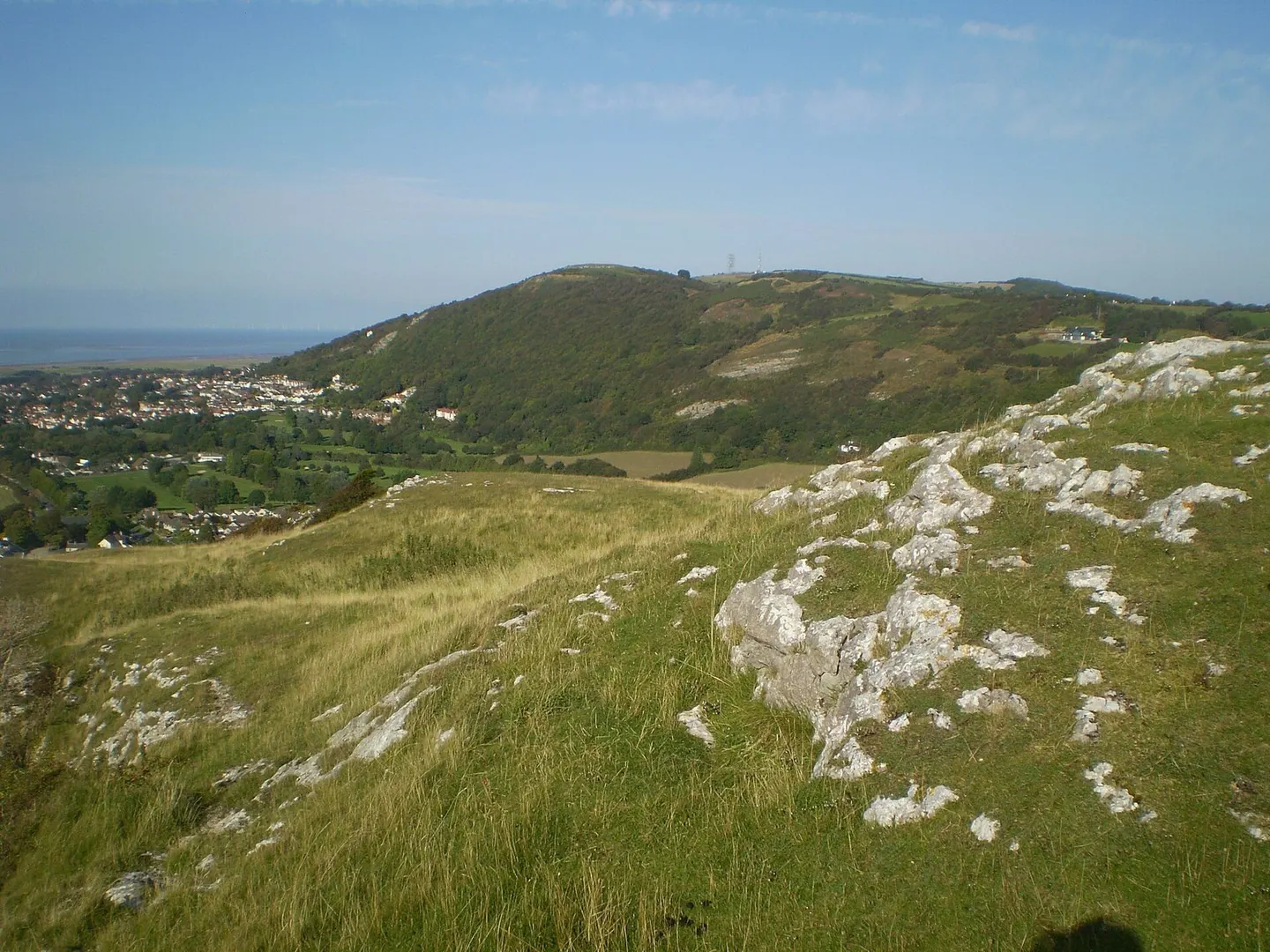
Prestatyn Hillside is where the Clwydian Range finally drops to the sea, and where the Offa’s Dyke Path sets off on its 177-mile run south to Chepstow. The limestone slopes above the town are a nature reserve of flowery heath and scrub, good for butterflies, with the caravan-dotted coast and the Wirral spread out below. Open access, and the station is a short walk down in Prestatyn.