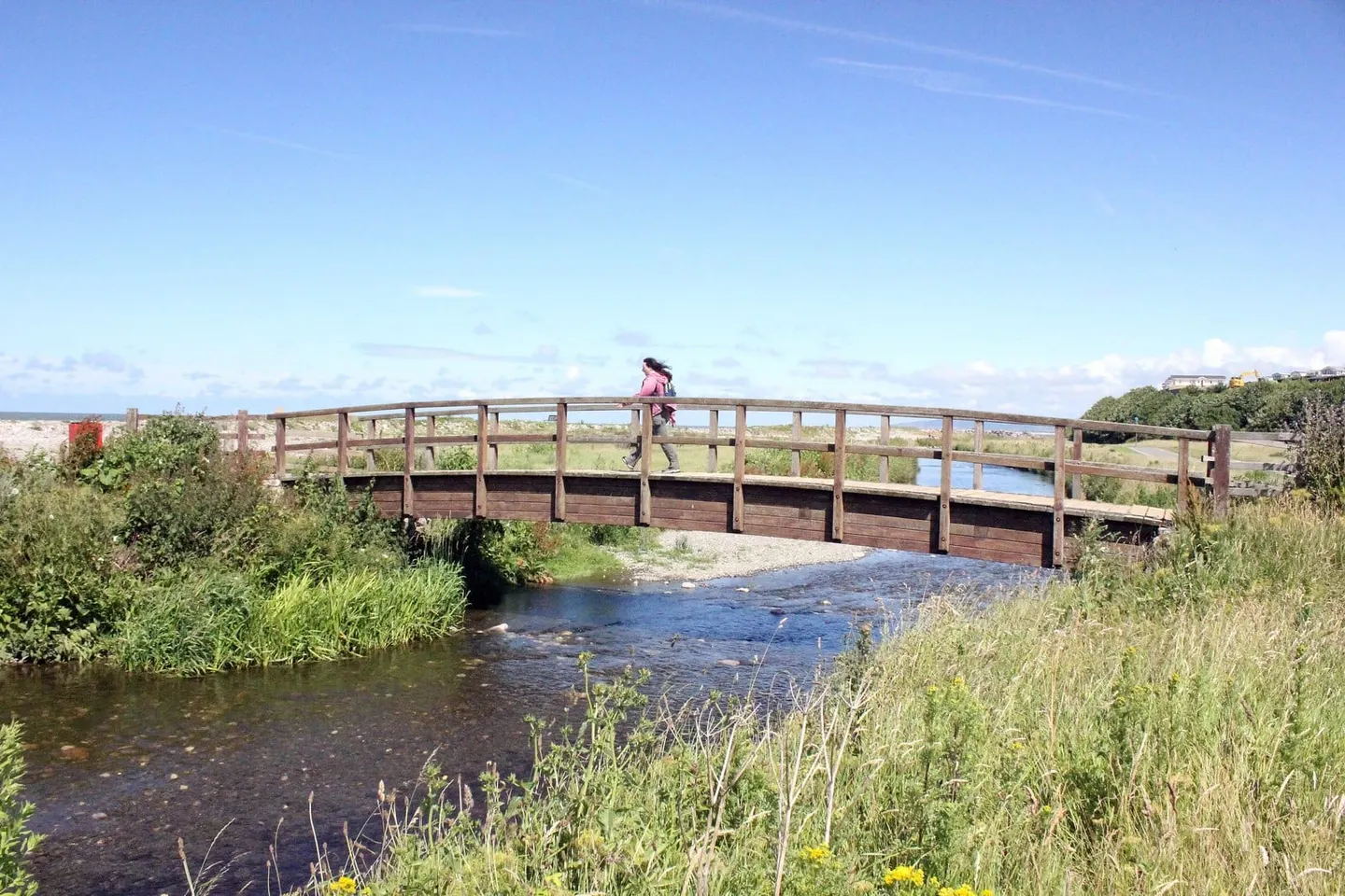
Sixty miles along the North Wales coast and its hills, from Prestatyn to Bangor above Conwy Bay
Indicative — sampled from open terrain data along the simplified route.
The North Wales Path runs 60 miles (97 km) from Prestatyn in the east to Bangor in the west, following the coast of the north but taking to the hills behind it wherever the ground rises. The surface changes constantly, from flat, surfaced promenade to uneven upland track, as the route moves between seaside towns and the northern foothills of Eryri. It can be walked continuously in about four days, or more comfortably as a series of day stages.
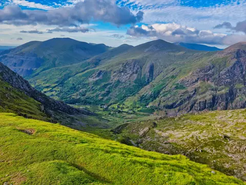
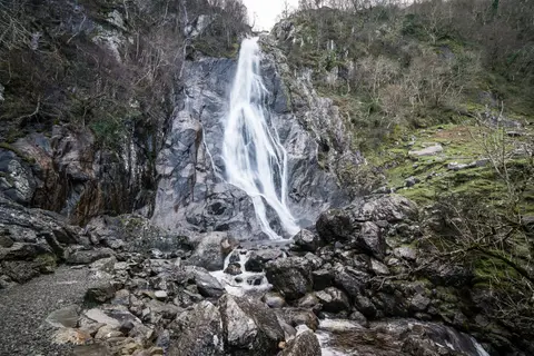
The best of it is around Llandudno and Conwy. The path climbs over the Great Orme and passes the Little Orme above Llandudno, crosses Conwy Mountain and the Sychnant Pass behind the walled town, and later reaches Aber Falls beneath the Carneddau, the high ground marking the edge of the national park. Much of the walking looks out over Conwy Bay and the Menai coast.
It shares some of its line with the Wales Coast Path, but the two differ in intent: where the Coast Path keeps as close to the sea as it can, the North Wales Path turns inland to take in the tops and passes, so the views are often the wider of the two. The route is well served by the North Wales coast railway, with stations at or near Prestatyn, Llandudno, Conwy and Bangor, which makes it one of the easier long walks to do a section at a time. It was waymarked by the local authorities along the coast, linked from existing rights of way.