Wales end to end over the mountains — 298 miles from Cardiff to Conwy, the hardest of the national long routes
Indicative — sampled from open terrain data along the simplified route.
The Cambrian Way is the mountain traverse of Wales, 298 miles (479 km) from Cardiff on the south coast to Conwy on the north, with something like 73,000 feet of ascent along the way. Most walkers take about three weeks. It is generally reckoned the most demanding of Britain’s long-distance paths — it holds to high ground wherever it can, which makes it a route for experienced hill walkers rather than a first long walk.
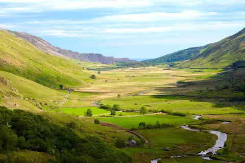
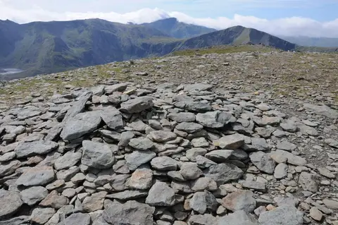
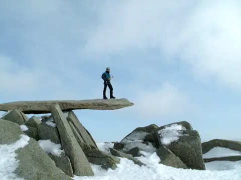
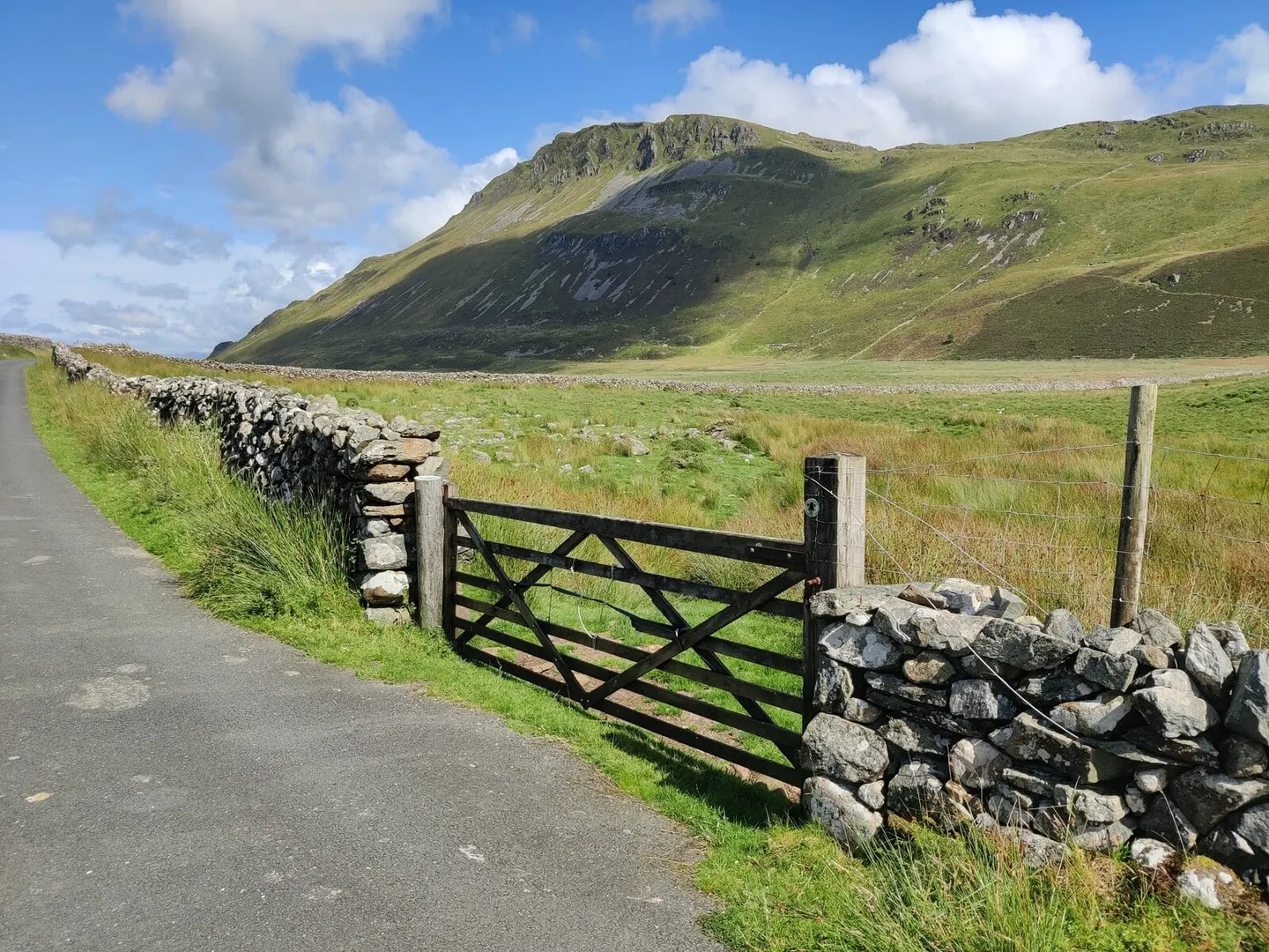
From Cardiff it climbs quickly into Bannau Brycheiniog and over Pen y Fan, crosses the empty uplands of mid-Wales around Pumlumon, then takes in the big mountains of Eryri — Cadair Idris, the Rhinogydd, the Glyderau and finally Snowdon itself — before dropping to Conwy. Much of it is open access land with faint paths, and long sections need confident navigation in cloud.
Being a mountain route it passes few settlements, so resupply and rest points matter: Machynlleth and Dolgellau are among the natural ones, and both Cardiff and Conwy are on the rail network. There is little shelter on the tops, and the walk is usually done south to north.
The Cambrian Way was the work of Tony Drake, a Gloucester rambler who spent decades from the 1960s piecing the line together and arguing for it against opposition that feared for the mountains, before it was recognised and waymarked in stages. It carries the subtitle “the mountain connoisseur’s walk”.