Open accesson open access land, where the right to roam applies
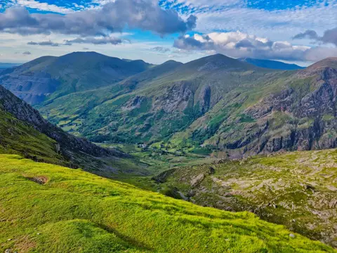
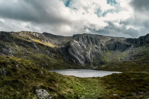
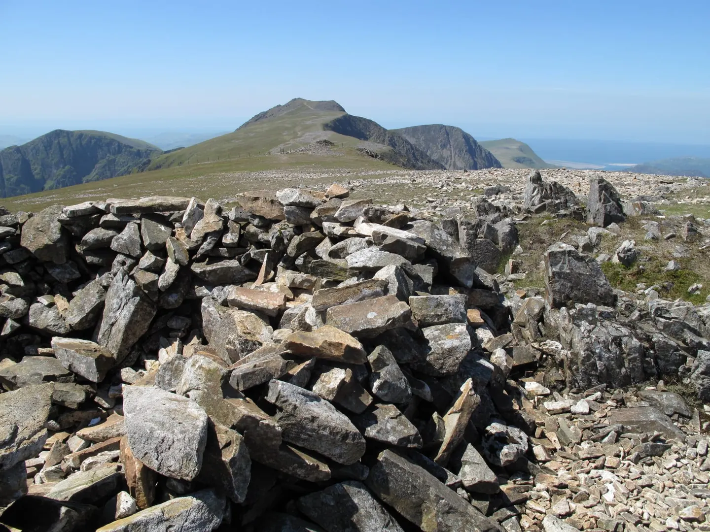
Mynydd Moel rises to 864 m (2,835 ft) in Gwynedd. It is one of the 316 Hewitts, and a Nuttall besides. It stands among the higher summits of Gwynedd. It is one of 125 hills the Albion Guide maps in Gwynedd. It stands within Eryri National Park.
Gau Graig and Cadair Idris are among the hills within 1.8 km. The nearest railway station is Morfa Mawddach, 9.9 km to the west.
More at hill-bagging.co.uk