870 miles round the entire Welsh coastline, from Chepstow to Queensferry and every headland between
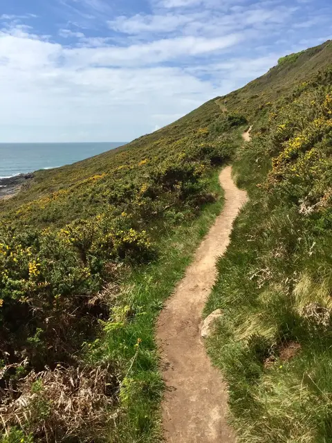
Wales did something in 2012 that hadn’t quite been done before anywhere else: opened a continuous, dedicated path around its whole coastline, all 1,400 kilometres of it — 870 miles, start to finish, from Chepstow on the Severn round to Queensferry in the north. Nobody is expected to walk it in one go, and very few people do; it’s really a spine that a huge number of shorter, better-known walks hang off, and most visitors end up doing a section at a time rather than the whole loop.
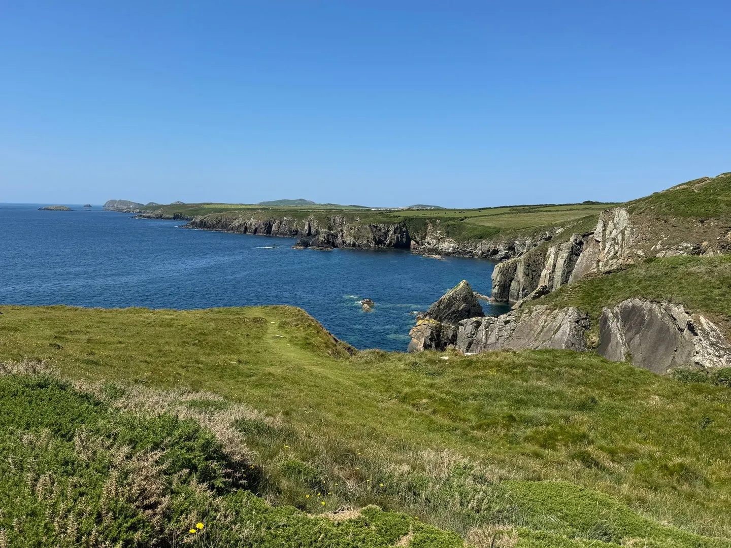
What that length buys is variety most single trails can’t offer. It skirts Eryri where the mountains come right down to the sea near the Llŷn, threads the cliffs and coves of the Pembrokeshire Coast further south (where it follows the older Pembrokeshire Coast Path National Trail), circles Anglesey and crosses the sweep of Gower, each stretch with its own character rather than more of the same scenery on repeat. The waymarking is consistent throughout, which sounds like a small thing until you’re relying on it in low cloud on an unfamiliar headland.
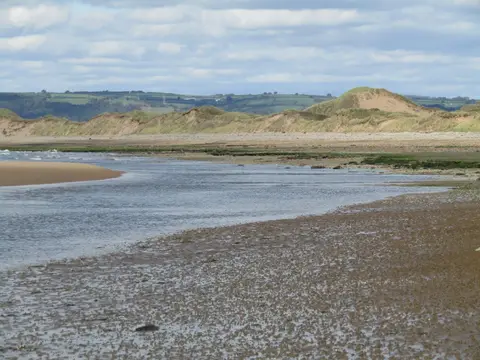
For anyone tackling it piecemeal, which is how most people sensibly approach it, the trick is picking sections that suit the season — the southern coast tends to be kinder in winter, the north can be spectacular but exposed when the wind gets up off the Irish Sea. Tide times matter on more stretches than the map lets on, since a fair few sections drop onto beaches or estuary edges that aren’t passable at high water, so a proper look at local tide tables before setting out saves a lot of backtracking. Combined with the Offa’s Dyke Path along the border, the two together trace something close to the outline of the whole country, which is a genuinely rare thing to be able to say about anywhere.