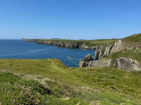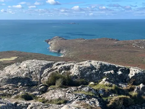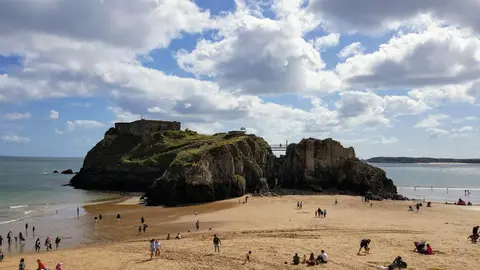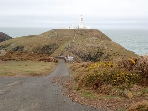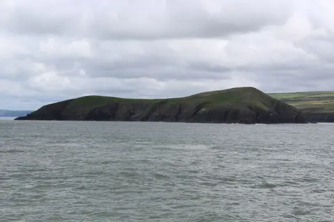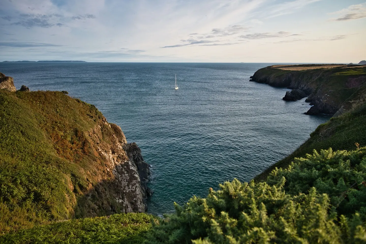
A whole national park built around the coast, so almost every walk here comes with a sea view
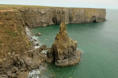
Most national parks are inland: moors, mountains, forest. This one is different, designated in 1952, it wraps around 615 square kilometres of Wales’s westernmost tip and stays close to the water’s edge, which means a walk here rarely means much climbing, just a lot of cliff-top path and the sea on one side. That makes it a genuinely easy place to get into coastal walking, whatever your fitness level.
The Wales Coast Path runs the full length of the boundary, and the good news is it doesn’t have to be tackled in one go — short stretches near Solva or around Dinas Island are enough for a taste of the cliffs and coves without committing to a multi-day trek. Foel Cwmcerwyn, the park’s highest point, sits inland on the Preseli hills, a gentler add-on for anyone who fancies a change from sea air.
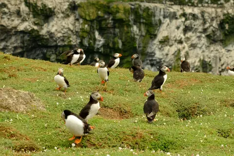
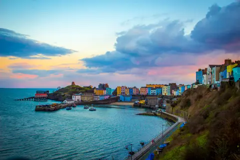
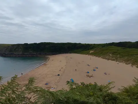
St Davids, Britain’s smallest city, makes a sensible base, small enough to feel unintimidating, with the coast in every direction. Families tend to gravitate to the sheltered coves for rock pooling and a paddle, while the outer cliffs and islands are where the seabirds gather in huge numbers over spring and early summer, puffins included on a few of them.
Coastal paths here can run close to the cliff edge in places, so it’s worth keeping an eye on children and dogs near the top, especially in wind. Weather off the Atlantic changes quickly, so a check of the forecast before setting out costs nothing and saves plenty, and a decent windproof is not a luxury even on a sunny-looking day.