Britain's oldest road, a chalk track walked over the downs for thousands of years
Indicative — sampled from open terrain data along the simplified route.
Calling something “Britain’s oldest road” invites an argument, but the Ridgeway has a decent claim, given that people and their livestock have been walking this high chalk line across southern England since long before anyone thought to put a name to it. The National Trail version runs 139 kilometres from Overton Hill, near Avebury, to Ivinghoe Beacon, and it starts as it means to go on, in country so thick with prehistoric remains that barely a mile passes without a barrow, hillfort or earthwork visible from the path.
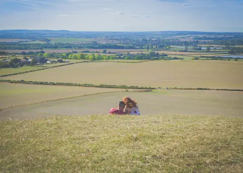
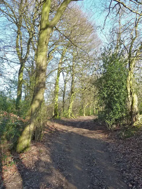
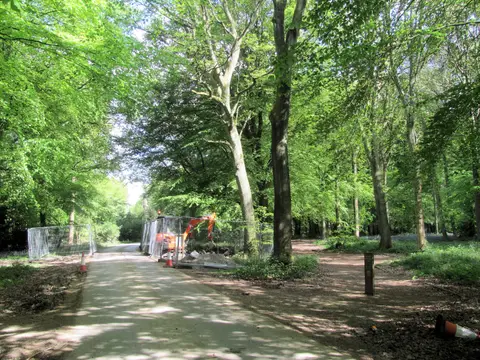
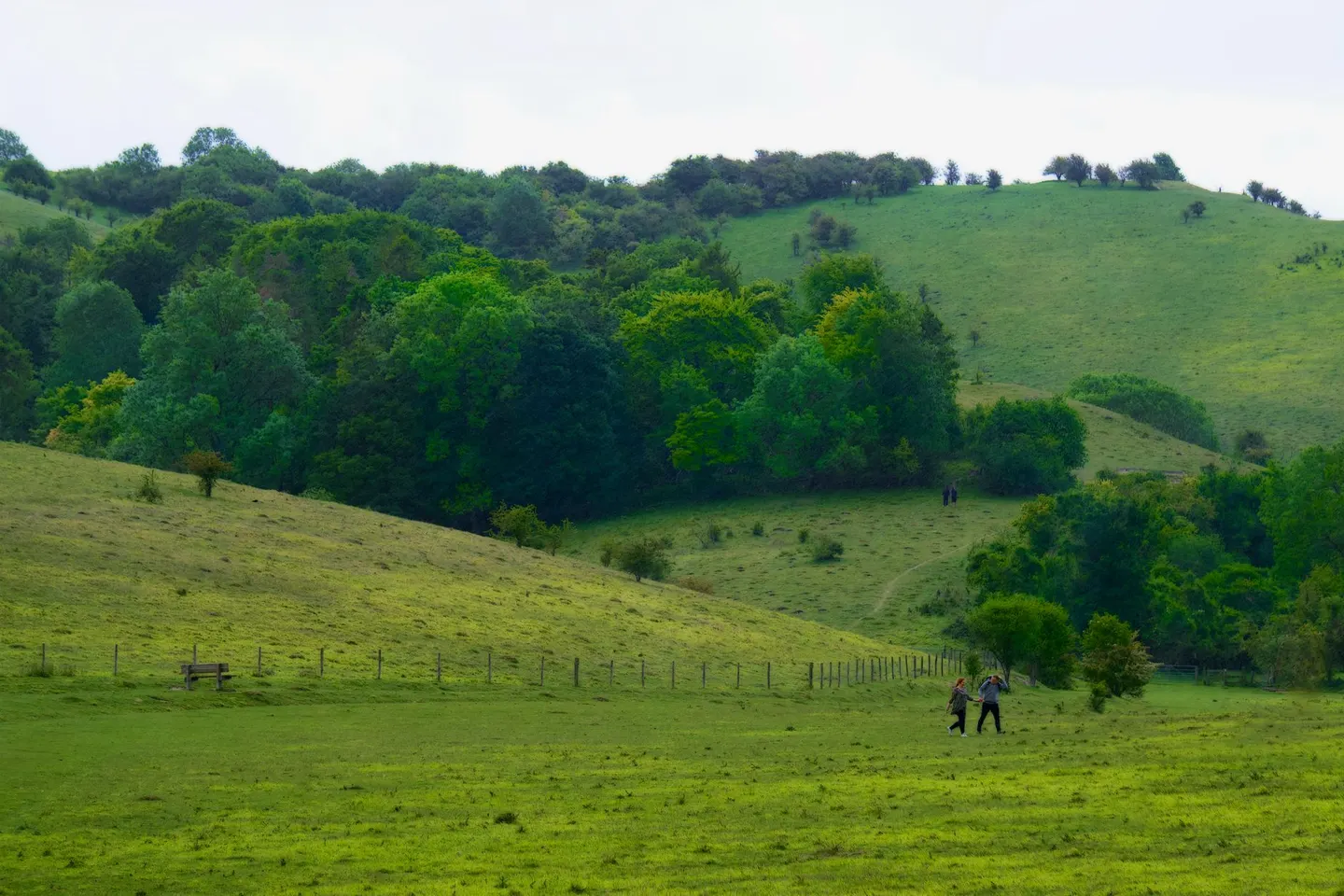
The western half through the North Wessex Downs is the classic open-downland stretch, wide skies and short cropped turf, with white horses cut into the chalk hillsides at intervals for reasons nobody has entirely agreed on, though most guesses land somewhere between religious marker and territorial statement. Further east the trail enters the Chilterns, where the character shifts to beechwood and hedged farmland, a gentler close to a walk that opens with some genuinely big-sky moments.
Being an ancient route rather than a modern invention, the Ridgeway follows high ground for good reason — it kept prehistoric travellers above the wet valley clay — and that same high, exposed line means weather turns quicker up there than the surrounding farmland suggests, worth a check before setting off in poor conditions. Much of the western section doubles as a byway open to cyclists and horse riders as well as walkers, so expect to share the track, particularly near Little Wittenham and the crossing of the Thames near Wallingford Beach, a popular spot to break the walk with a paddle on a warm day.