A long circular walk around the Chiltern Hills through beechwood, downland and old flint-and-brick villages
The Chiltern Way is a circular route around the Chilterns, 177 miles all told now that its old northern and southern extensions are part of the main loop. Being a loop it has no fixed beginning, though the Albion Guide runs it from Hemel Hempstead, and it can be joined at almost any point and walked in either direction. Few people do the whole thing at once; it is built to be taken in day stages of eight to fifteen miles, and divides neatly for that.
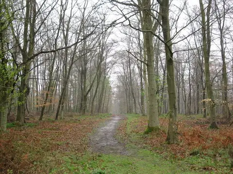
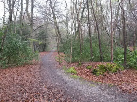
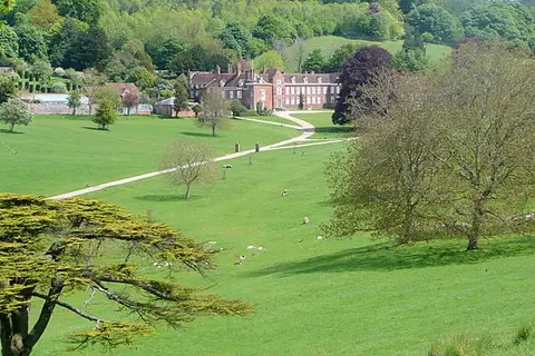
It is a walk of the classic Chiltern grain — beech hangers on the steep scarp slopes, dry chalk valleys, and a patchwork of woods and fields dotted with flint-and-brick villages. The route threads together the best of that country: the Chess and Misbourne valleys, the wooded slopes above the Hambleden valley, Stonor and Ewelme, and the open downland of Dunstable Down at the northern edge. The walking is undulating rather than hard, forever climbing on and off the scarp, and it is well signposted and regularly checked by the volunteers who look after it.
Much of the loop stays within reach of the towns along the Chiltern edge, so sections can be walked using the railway lines that run out from London through the hills. Both the Metropolitan and Chiltern lines cross the route, giving stations at intervals; the deeper Oxfordshire stretches around Ewelme are the quietest and hardest to reach by train.
The route was created by the Chiltern Society as a Millennium project, opened in 2000 and drawn from the network of existing footpaths across the hills. A revised guide in 2023 folded the old extensions into the main circuit, giving the longer loop walked today.