A 195-mile circuit of Hertfordshire linking its towns, river valleys and old green lanes on a single loop
Indicative — sampled from open terrain data along the simplified route.
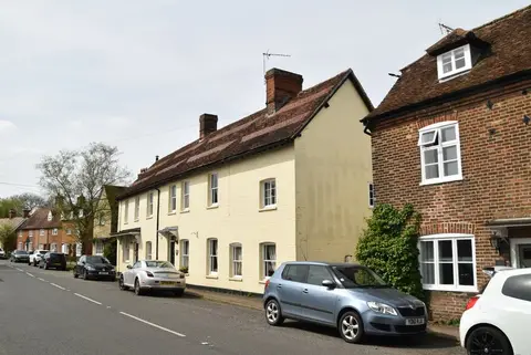
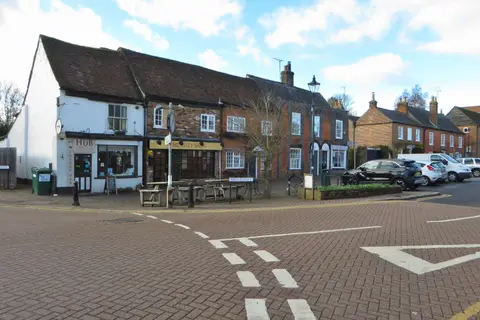
The Hertfordshire Way is a circular route of about 195 miles right around the county, taking in the cathedral city of St Albans, the county town of Hertford, and the market towns of Royston and Bishop’s Stortford, along with a long run of smaller villages between them. As a loop it has no set start, though it is often begun at Royston in the north, and it can be walked either way round. It is far too long for most to do in one push and is designed to be taken in sections; the route divides into sixteen day stages.
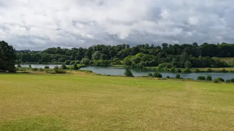
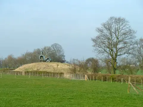
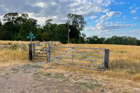
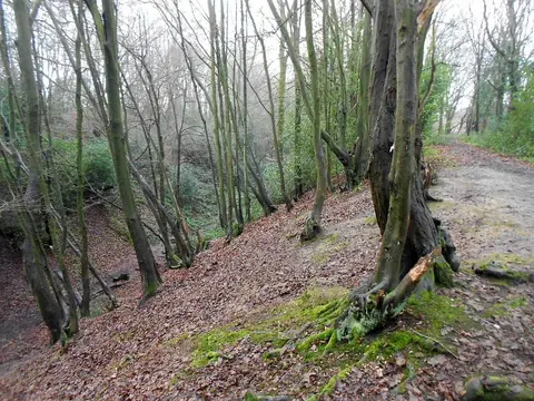
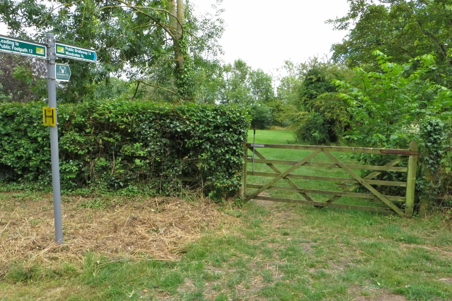
The country is gentle and green — a lowland county of arable fields, chalk downland in the north where it brushes the Chilterns, wooded river valleys, commons and old green lanes. There is nothing steep or remote about it, and much of the appeal is the quiet, close-worked ordinariness of the landscape and the churches, moated sites and villages strung along the way. The walking is easy to moderate and well waymarked, marked in both directions.
Being a ring around a well-connected county, it is one of the more practical long walks to do by train. The route crosses several of the lines running north out of London — through St Albans, Hertford, Bishop’s Stortford and Royston among others — so most sections can be walked point to point and returned from by rail.
The route was planned and is maintained by the Friends of the Hertfordshire Way, a group linked to the Ramblers, and drawn together from the county’s existing footpaths. One middle section offers two alternative routes, which can shorten the full circuit by some way.