A hundred and ten miles of ancient chalk trackway from the Chilterns to the Norfolk Brecks, linking the Ridgeway to the Peddars Way
Indicative — sampled from open terrain data along the simplified route.
The Icknield Way Path runs 110 miles along the chalk from Ivinghoe Beacon in the Chilterns to Knettishall Heath on the edge of the Norfolk Brecks. It exists to link two national trails end to end — it takes over where the Ridgeway finishes at Ivinghoe and delivers walkers to the start of the Peddars Way at Knettishall — so the three together form a continuous route across the belt of chalk that runs from the Dorset coast to the Wash. Most walkers take a week over it.
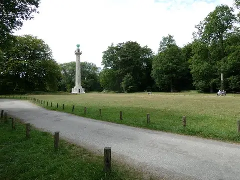
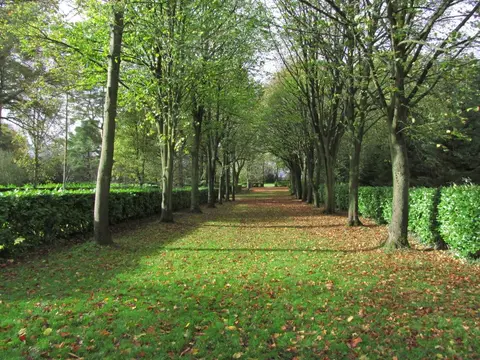
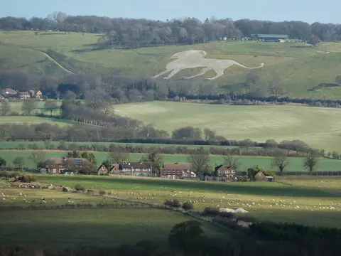
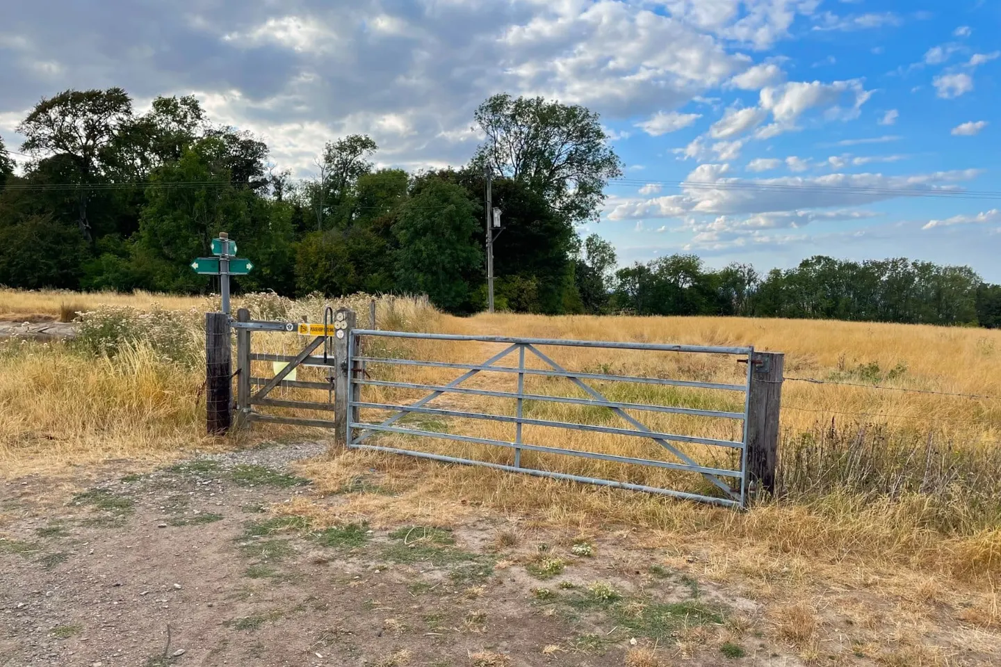
It follows the line of the Icknield Way, one of the oldest routes in Britain, a prehistoric trackway kept to the dry chalk ridges above the wetter clay of the valleys. Because ancient travellers took whatever line the ground allowed, there was never a single fixed course, and the modern path is one chosen version of it, following green lanes, old droves and field paths. It passes Tring and Dunstable, crosses the Bedfordshire and Hertfordshire chalk by Baldock and Royston, then runs out east into the sandy heaths and pine of the Brecks.
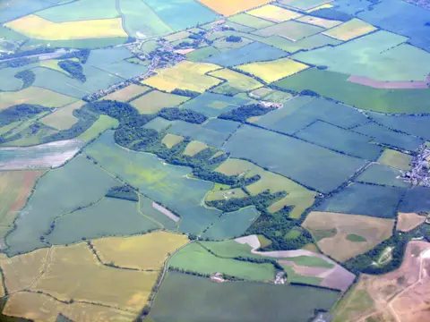
The walking is easy to moderate, mostly gentle and low, and well waymarked. This is worked farmland and small-town country rather than wilderness, and it stays within reach of several rail lines — Tring and Royston both have stations — which makes it straightforward to walk in day sections. The far eastern end at Knettishall Heath is the most out of the way.
The name is old and its meaning uncertain; the route is sometimes counted the oldest road in the country, a claim easier to feel on the ground than to prove.