A Roman road walked north to the sea, then salt marsh, seals and sky the rest of the way
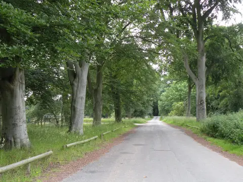
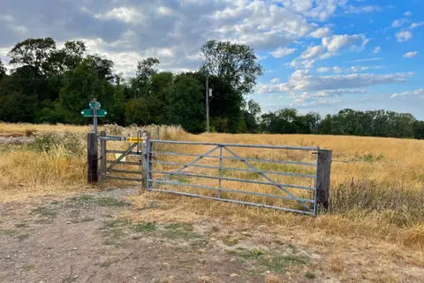
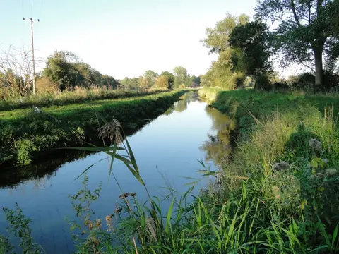
The Peddars Way starts inland at Knettishall Heath near Thetford and does something most trails don’t bother with: it runs dead straight for long stretches, because it’s following a Roman road, built in the aftermath of the Boudican revolt to get troops to the coast quickly. Two thousand years on it’s a quiet, unassuming stretch of walking through Breckland heath and farmland, easy underfoot and short on drama, which makes a decent case for itself as a warm-up before the coast path takes over. A handful of nature reserves sit just off the route through this inland section, Dereham Rush Meadow and Foxley Wood among them, worth a short detour if the pace allows.
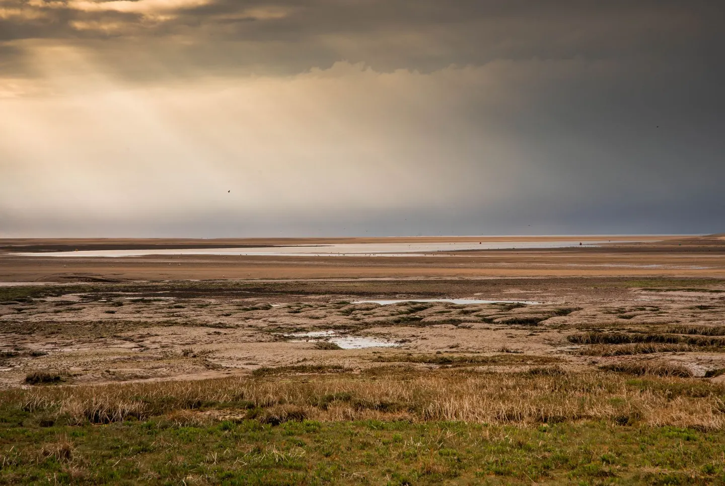
Everything changes at Holme-next-the-Sea, where the Roman road gives way to the Norfolk Coast Path and the whole character of the walk shifts. From there it’s saltmarsh, dune and shingle most of the way to Cromer Pier, tracking the Norfolk Coast the whole way, with the sea rarely far off and the sky doing more work than anywhere else in England: Norfolk’s flatness has a way of making the horizon feel enormous. Blakeney Point, a little off the main line but well worth the diversion, holds one of the country’s best-known seal colonies, both grey and common seals hauling out on the sand in visible numbers depending on the season.
The whole route runs 254 kilometres, about 158 miles, and most people split it over eight to eleven days, staying in the string of villages along the coast rather than pushing hard daily distances. Tides catch out more walkers here than the map lets on — some sections of path sit close enough to salt marsh that it pays to ask locally about crossing times rather than trust the map alone. Spring and early autumn tend to bring the best combination of migrating birds and manageable crowds.