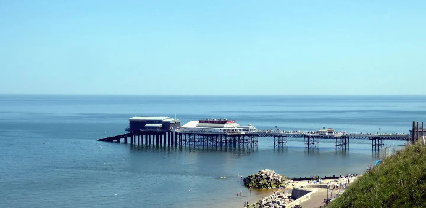
Places to explore near West Runton StationWest Runton
West Runton Station sits inside the Norfolk Coast National Landscape. 37 places within 10 km — the standouts first, nearest first within each group. 1 is a national icon.
Worth the tripnational icons and local highlights within reach
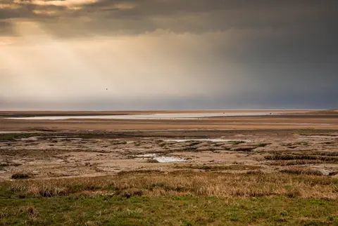
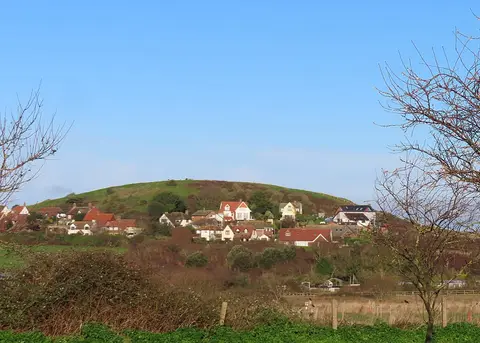
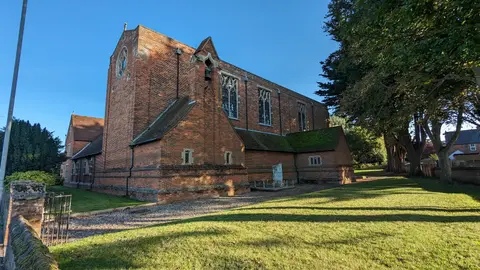
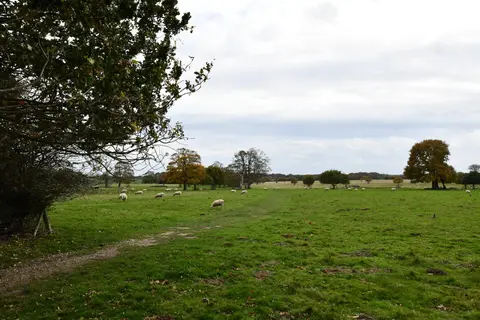
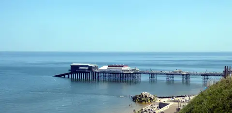
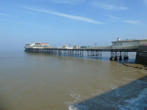
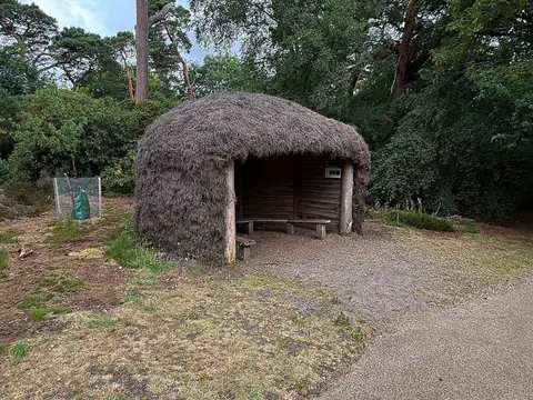
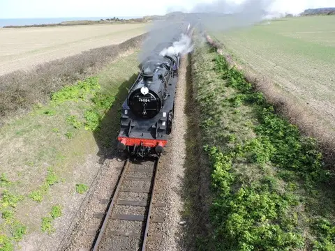
Also nearbygood places nearby, nearest first

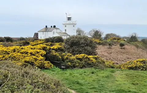
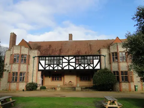
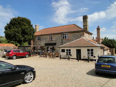
Everything else within 10 km (22) — reserves, earthworks & places to check before travelling
- West RuntonSwimming spot0.8 km NE
- West RuntonCoastline0.9 km S
- Beeston CliffsSSSIaccess unclear1.3 km NW
- Briton's Lane Gravel PitSSSIaccess unclear1.3 km SW
- Sheringham and Beeston Regis CommonsSSSI1.5 km W
- Beeston Regis PrioryPrioryaccess unclear1.6 km W
- East RuntonSwimming spot2.1 km E
- Sea Sauna SheringhamSauna2.3 km NW
- SheringhamSwimming spot2.7 km NW
- Weybourne CliffsSSSIaccess unclear3.2 km W
- CromerSwimming spot3.8 km E
- Overstrand CliffsSSSIaccess unclear4.5 km E
- Gresham CastleCastleaccess unclear4.7 km S
- Weybourne Town PitSSSIaccess unclear6.7 km W
- Weybourne prioryPrioryaccess unclear7 km W
- Sidestrand and Trimingham CliffsSSSIaccess unclear7.1 km E
- Kelling HeathSSSI7.5 km W
- North NorfolkHeritage Coast8.4 km NW
- Gunton Park LakeSSSIaccess unclear8.6 km SE
- North Norfolk CoastSSSI8.7 km W
- VoewoodHouse & gardenaccess unclear8.8 km W
- Gunton ParkHouse & gardenaccess unclear9.9 km SE
Ordered by how far each place is worth travelling for, then by distance. Distances are straight-line to the nearest edge of each place — paths wind, of course.