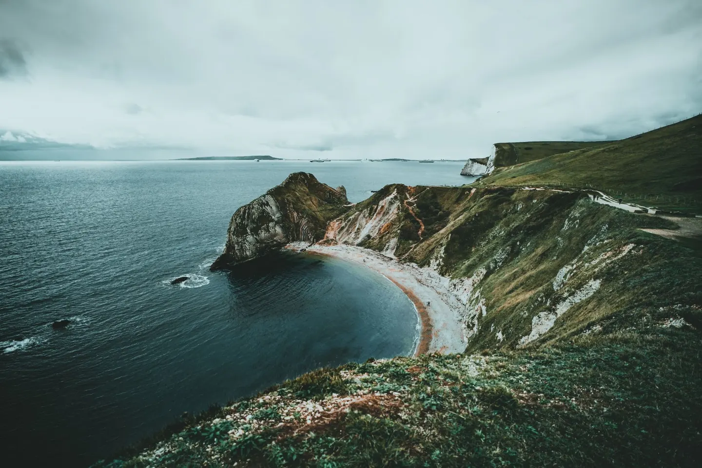
One footpath, the entire coast of England, most of it open and the rest arriving in pieces
When finished, this will be one continuous path around the entire coast of England, some 4,300 kilometres of beach, clifftop and seawall, renamed for the King after the change of monarch. It is not finished yet. Large stretches are open and walkable now, others are still being built or negotiated section by section, and the honest answer to whether it is all open is: not everywhere, not yet, so check the current state of whichever stretch is actually being walked before setting off.
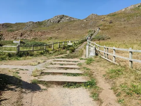
What’s already open covers a huge range of coastline. The route touches chalk downland at the South Downs, heath and forest at the New Forest, low-lying water country at The Broads, and rugged ground where it skirts Exmoor and the Lake District coastline, a spread that says more about the size of the ambition than any single stretch could.
Being a coastal path, most of it, means tides matter more here than on inland trails. Some sections cross beaches or mudflats that flood at high water, and the official route is designed with alternative high-tide paths for exactly that reason — using them, and checking tide times before setting out on any stretch near the shore, is basic route-finding rather than excess caution.
Given how much of the path is still under construction, treat any specific claim about what’s currently walkable as provisional. Official National Trail signage and the trail’s own website are the reliable source for the state of a given stretch, more reliable than memory or an out-of-date map.