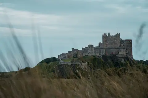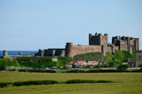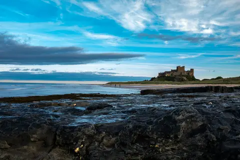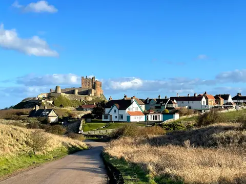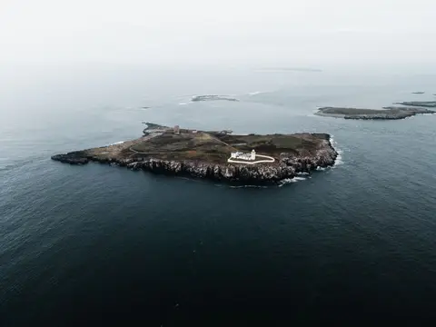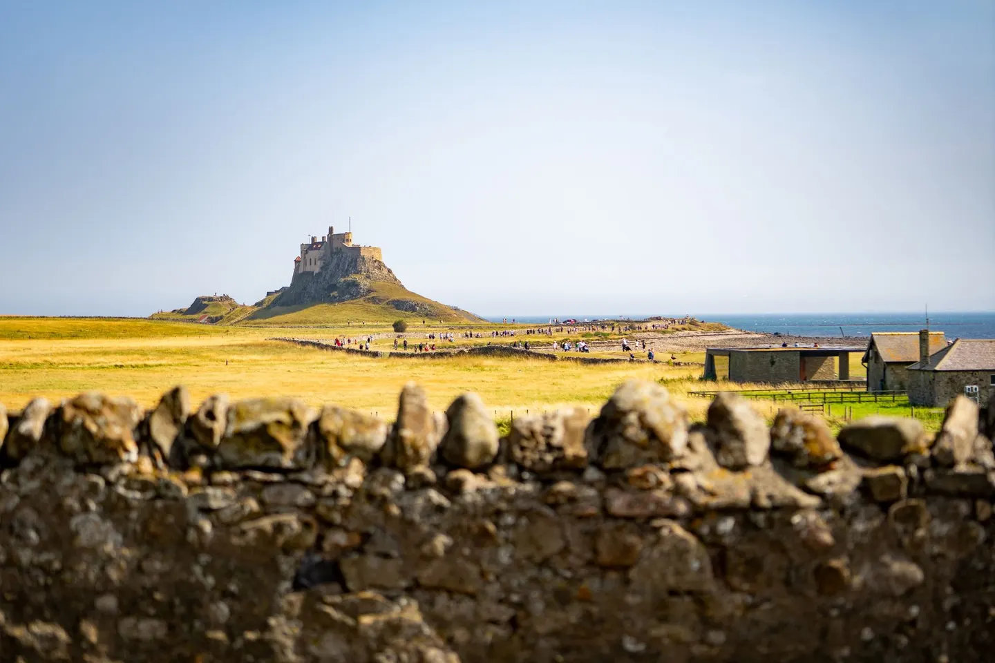
Tidal holy island of the priory, the castle and the causeway.
Monks from Iona founded a monastery on Holy Island, better known as Lindisfarne, in 635; Vikings raided it in 793, an attack often described as the start of the Viking age in Britain. The ruins of Lindisfarne Priory seen today are later, Norman-period work, raised after Benedictine monks refounded the site in the 11th century — the Lindisfarne Gospels, made on the island around 700, are now kept in the British Library. On a rocky knoll at the east end stands Lindisfarne Castle, a Tudor fort turned into a private house by the architect Edwin Lutyens in 1901.
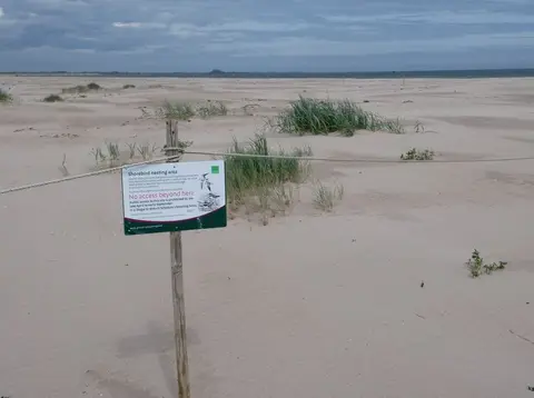
A small village of about 150 people sits between the two; St Aidan’s Winery there makes Lindisfarne mead, and the island’s dunes and mudflats form a national nature reserve important for wintering geese and wading birds. A causeway that floods twice a day joins the island to the mainland, open only for a few hours either side of low water — check the safe crossing times published by Northumberland County Council and posted at the causeway, since the road floods fast and people get caught out most months. A separate route over the sands, the Pilgrims’ Way, is safe only at low tide, in daylight and with local knowledge. Berwick-upon-Tweed is the nearest sizeable town.