St Oswald's Way
Ninety-seven miles down the Northumberland coast and inland to Hadrian's Wall, on the trail of a Saxon king
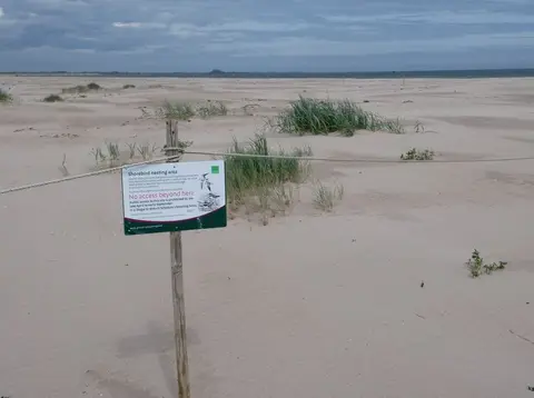
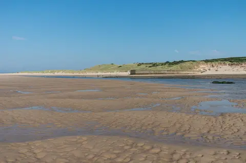
St Oswald’s Way runs 97 miles across Northumberland, from Holy Island in the north to Heavenfield on Hadrian’s Wall in the south. It keeps to the coast for its first half, then turns inland through the hills. The usual plan is six days. The coastal walking is easy, on beach, dune and low cliff; the inland sections over moor and farmland are longer and quieter.
The northern half is the draw for most. From Holy Island the route runs south past Bamburgh and its castle, Craster, Dunstanburgh Castle and the harbour village of Warkworth, sharing much of its line with the Northumberland Coast Path. At Warkworth it heads inland up the Coquet valley to Rothbury, over the Simonside hills, and on across sparse upland to reach the Wall.
Because the coast is well served by villages, the first sections are among the more practical to walk in stages, though the inland leg is harder to break and passes little in the way of transport. Holy Island itself is cut off twice a day by the tide, so the causeway crossing has to be timed to the safe-crossing tables.
The route was opened in 2006 and named for Oswald, king of Northumbria in the early 7th century. It links places tied to him: Heavenfield, where he is said to have raised a wooden cross and won the battle that secured his kingdom, and Holy Island, where he brought the monk Aidan from Iona to found the monastery of Lindisfarne. He did much to spread Christianity through the north.