A hundred miles along the Cotswold escarpment edge, from Bath's honey-coloured streets to Chipping Campden's
Indicative — sampled from open terrain data along the simplified route.
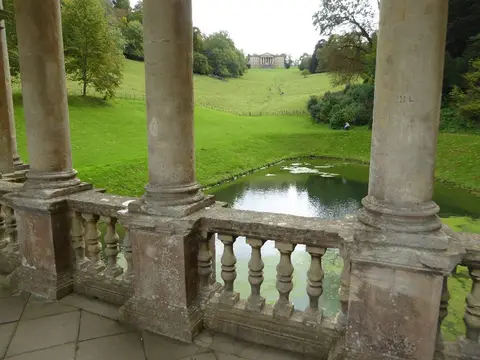
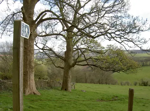
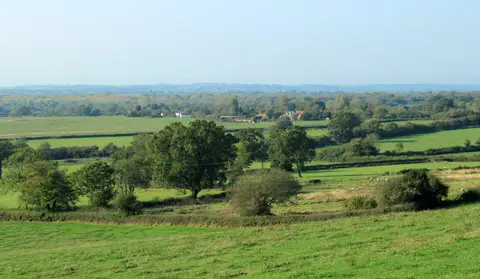
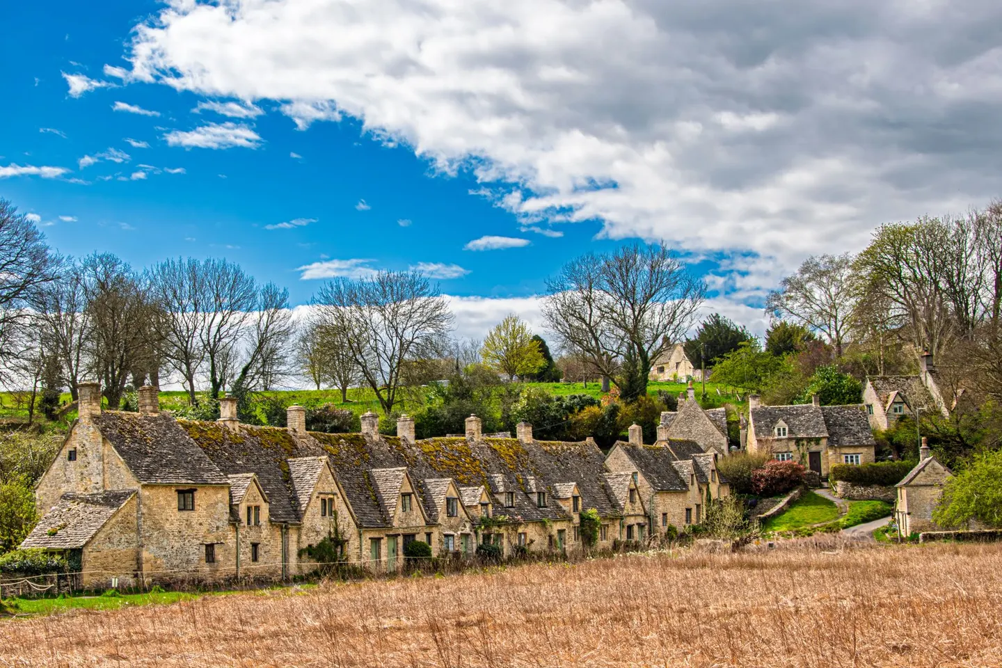
The Cotswold Way runs 164 kilometres, a shade over a hundred miles, from Bath Abbey up to the market hall in Chipping Campden, and the honest way to describe most of it is: the edge. It tracks the western scarp of the Cotswolds almost the whole way, the line where the limestone plateau drops away toward the Severn, which means long stretches of walking with the view doing most of the entertaining — fields and villages laid out below, the Severn Vale beyond, and on a clear day the Welsh hills further off still. It’s not a wilderness trail by any stretch; it’s villages and stiles and the odd pub at the right moment, which for a week-long walk is honestly no bad thing.
Beech woodland fills in a fair bit of the route where the scarp gets steeper, hangers on slopes too sharp for much else, and the going alternates between that shaded, root-tangled walking and open grassland along the plateau edge. Bath itself is worth lingering in before setting off, obviously, but the trail is just as rewarding further north, through the Cotswolds proper past reserves like Daneway Banks and Strawberry Banks, both worth a slower look than most walkers give them at pace.
Most people take a week to ten days over the whole distance, breaking it into stages between the market towns that line the route — plenty of accommodation and public transport links along the way, which isn’t something every national trail can claim. Late spring brings the beechwoods out and the wildflowers with them; autumn does something similar in reverse, colour instead of green, and fewer people on the path either way than in high summer. Good boots and a reasonable head for gentle but persistent up-and-down are about the sum of what it asks.