A 65-mile diamond-shaped circuit of the quiet northern Cotswolds, starting and finishing at Moreton-in-Marsh
Indicative — sampled from open terrain data along the simplified route.
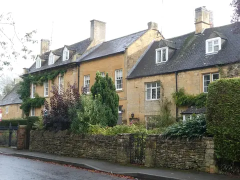
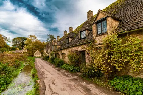
The Diamond Way is a circular walk of about 65 miles through the northern Cotswolds, laid out in the rough shape of a diamond and beginning and ending at Moreton-in-Marsh in Gloucestershire. Because it is a loop with no fixed start, it can be joined at any of the villages on the way and walked in either direction, usually over three to five days. It links a long list of small places, among them Chipping Campden, Bourton-on-the-Water, Northleach, Naunton, Guiting Power and Snowshill.
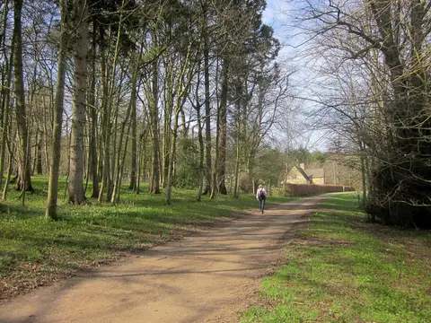
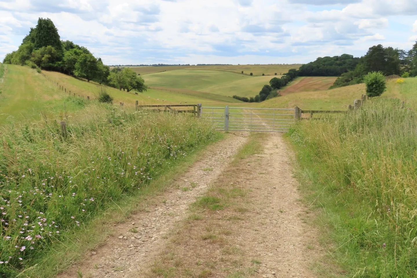
The route keeps to the gentler, higher ground of the north Cotswolds and stays off the steep western escarpment, so the walking is undulating rather than strenuous, over farmland, wold and small patches of woodland. What it offers is not a single landmark but the accumulation of Cotswold villages, drystone walls and open sheep country away from the busier honeypots. The distance is the main demand.
The walk was created in 1995 by the North Cotswold group of the Ramblers to mark the association’s sixtieth anniversary, and the diamond outline was chosen to fit the theme. Moreton-in-Marsh is on the main railway line between Worcester and Oxford, which makes it easy to reach for the start and gives the circuit a natural rail-served base; the villages in between are connected by lanes and infrequent buses rather than trains, so the route is best treated as a self-contained loop walked over consecutive days.