Monarch's Way
Local highlightMore than 600 miles from Worcester to the Sussex coast, tracing Charles II's six-week escape after the battle of 1651
The Monarch’s Way is one of the longest waymarked footpaths in England, running 625 miles from Worcester to Shoreham-by-Sea on the Sussex coast. It is a themed route: it follows, as closely as the modern rights of way allow, the escape of the future Charles II after his defeat at the battle of Worcester in September 1651. For six weeks the 21-year-old was a fugitive with a price on his head, and the walk traces that long, doubling journey west into Somerset, back east across southern England, and finally to the sea.
Because it was laid out to match a historical route rather than an easy line, it wanders. From Worcester it heads north to Boscobel House in Shropshire, where Charles famously hid in an oak, then turns south through the Cotswolds, over the Mendip Hills and down to the Dorset coast at Charmouth, before working east along the South Downs into West Sussex. Shoreham is where Charles took ship for France.
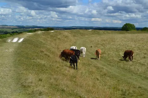
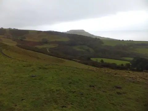
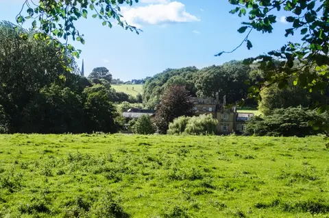
At this length few people walk it end to end. It suits being taken in sections, and it passes close to Bristol and many market towns with rail links, so stretches can be reached by train. The going is mostly moderate English lowland walking — farmland, woodland and river valley — with the Cotswold and Mendip sections the hilliest.
The route was devised by Trevor Antill and opened in 1994, and is looked after by the Monarch’s Way Association. Its waymark carries a ship, the Prince of Wales feathers and the Boscobel oak.