Places to explore near Worcester
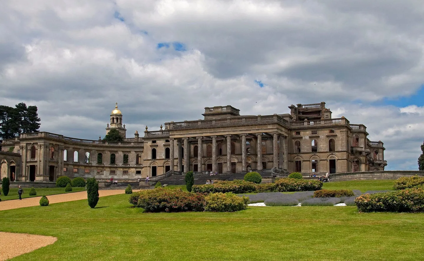
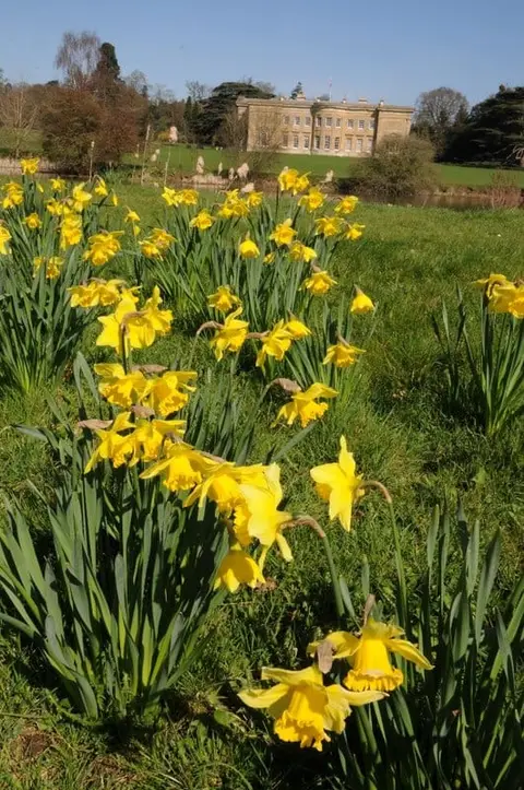
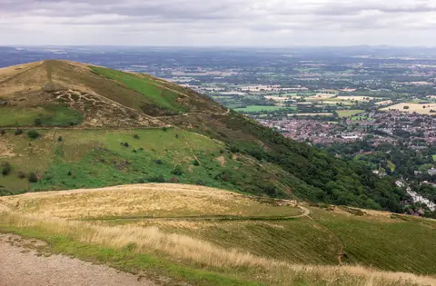
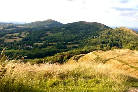
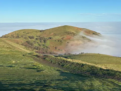
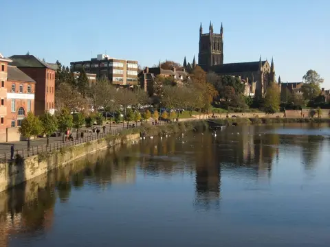
Worcester's cathedral looks out over the River Severn from the east bank, close to where the last battle of the Civil War was fought in 1651. This is Elgar's county, and his beloved Malvern Hills rise abruptly to the south-west, a nine-mile ridge of ancient rock topped by the Worcestershire Beacon and the Iron Age ramparts of British Camp. Oak and wild daffodils fill the Wyre Forest to the north-west, and the isolated whaleback of Bredon Hill stands out over the Vale of Evesham to the south.
98 places within 25 km — the standouts first, nearest first within each group. 3 are national icons.
Worth the tripnational icons and local highlights within reach


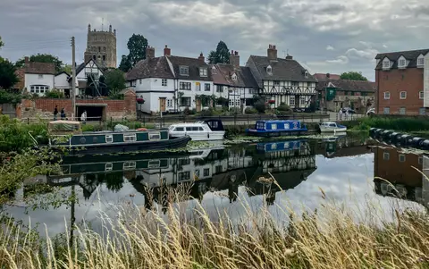
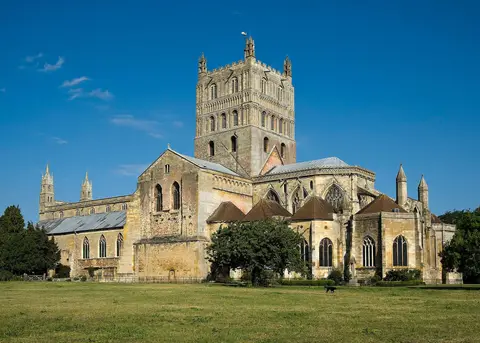
Also nearbygood places nearby, nearest first
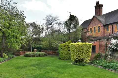
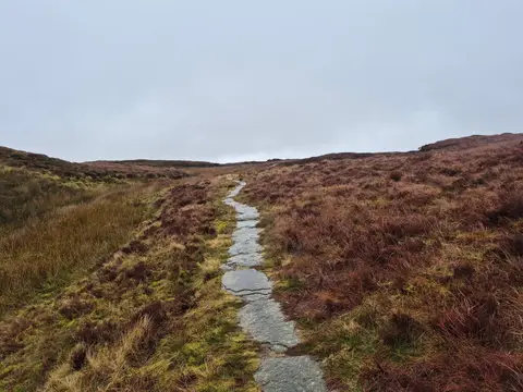

Everything else within 25 km (58) — reserves, earthworks & places to check before travelling
- Hawford DovecoteAncient site5.8 km N
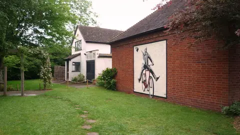
- Leigh Court BarnLandmark6.7 km W
- Wichenford DovecoteAncient site8 km NW
- OmbersleyVillage8.6 km N
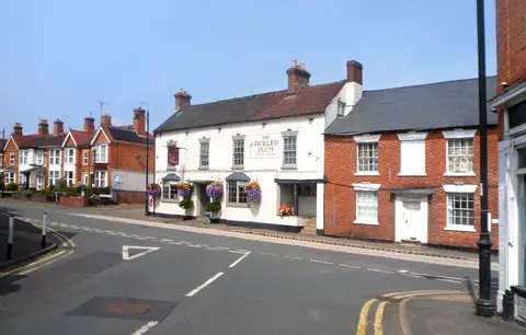
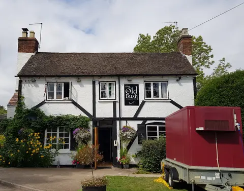
- The Holt FleetPub8.8 km N
- Wychavon WayLong-distance path9.1 km NE
- Lingens Farm Cider and PerryFarm & farm shop9.1 km W
- Geopark WayLong-distance path9.8 km W
- Worcestershire WayLong-distance path10.3 km SW
- The Talbot at KnightwickPub11.9 km W
- Worcestershire BeaconMarilyn12.6 km SW
- Battle of WorcesterBattlefield2.1 km S
- Lyppard Grange PondsSSSIaccess unclear3 km E
- Northwick MarshSSSIaccess unclear3.2 km NW
- Grimley Brick PitsSSSIaccess unclear4.9 km N
- Hawford Roman campRoman archaeological siteaccess unclear5.5 km N
- Cooksholme MeadowsSSSIaccess unclear5.6 km SE
- Napleton MeadowSSSIaccess unclear6.2 km S
- Monk Wood (Worcestershire)SSSI6.8 km NW
- Monkwood GreenSSSI7 km NW
- Oakley PoolSSSIaccess unclear7 km NE
- Motte and bailey castle at Castle GreenEarthworks of a former castleaccess unclear7.5 km SW
- Ashmoor CommonSSSI7.8 km S
- Broad GreenSSSI8 km W
- Grange MeadowSSSIaccess unclear8 km SW
- Trench WoodSSSIaccess unclear8.2 km NE
- Westwood Great PoolSSSIaccess unclear8.6 km N
- The Kings Arms (Ombersley)Pub8.6 km N
- Aileshurst CoppiceSSSIaccess unclear8.8 km SW
- Great Blaythorn MeadowSSSIaccess unclear9 km SE
- Lower Saleway Farm MeadowsSSSIaccess unclear9 km NE
- Droitwich SpaVillage9.5 km NE
- Leigh Brook ValleySSSIaccess unclear10.3 km W
- Naunton Court MeadowsSSSIaccess unclear10.5 km E
- New Inn MeadowSSSIaccess unclear10.6 km SW
- Crumpton Hill WoodSSSIaccess unclear10.7 km SW
- Dean Brook Valley PasturesSSSIaccess unclear10.8 km NE
- The Nag's HeadPub10.8 km SW
- Osebury RockSSSIaccess unclear11 km W
- Hay Wood and Tinkers' CoppiceSSSIaccess unclear11.1 km W
- Rabbit WoodSSSIaccess unclear11.1 km E
- Shrawley WoodSSSIaccess unclear11.1 km N
- Lord's Wood MeadowsSSSIaccess unclear11.4 km W
- Crews Hill WoodSSSIaccess unclear11.6 km W
- Penny Hill BankSSSIaccess unclear11.6 km NW
- Hillend Meadow & OrchardSSSIaccess unclear11.7 km NW
- Quarry Farm MeadowSSSIaccess unclear11.7 km NW
- Tiddesley WoodSSSIaccess unclear11.7 km SE
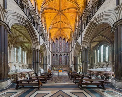
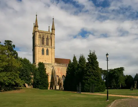
- Great Malvern PrioryChurch11.7 km SW
- Grafton WoodSSSIaccess unclear11.8 km E
- Salt Meadow, Earl's CommonSSSIaccess unclear11.8 km E
- Yellow House MeadowSSSIaccess unclear11.8 km E
- Little Byefields MeadowSSSIaccess unclear11.9 km SW
- Halesend WoodSSSIaccess unclear12 km W
- Malvern CommonSSSI12 km SW
- Bank and Cother WoodSSSIaccess unclear12.2 km SW
- Hanley CastleVillage12.7 km S
- Earl's Croome MeadowSSSIaccess unclear12.9 km S
Ordered by how far each place is worth travelling for, then by distance. Distances are straight-line to the nearest edge of each place — paths wind, of course.