Geopark Way
A hundred and nine miles from Bridgnorth to Gloucester, laid out to read the geology of the Abberley and Malvern hills
Indicative — sampled from open terrain data along the simplified route.
The Geopark Way runs 109 miles from Bridgnorth in Shropshire south to Gloucester, passing through Worcestershire, a corner of Herefordshire and into Gloucestershire. It threads the Abberley and Malvern Hills Geopark, a district picked out for the range of rock exposed in a small area, and the trail is arranged to visit that geology as it goes.
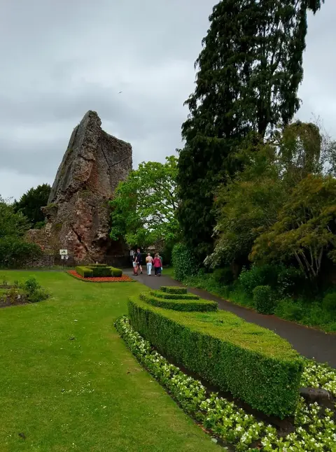
What sets it apart from most long walks is the theme. The route was designed to link geological sites — quarries, ridges, rock faces and old lime kilns — that between them show a span of some 700 million years, from the ancient hard rock of the Malverns to younger sandstones and mudstones in the valleys. A guide splits it into eighteen day-walks, each keyed to what can be seen in the ground underfoot.
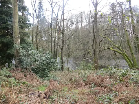
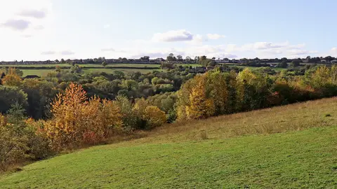
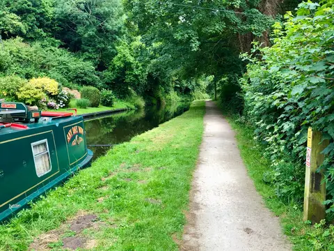
The walking itself is varied and often steep in short bursts. It follows rivers and valley floors, runs through woodland, and climbs onto ridges for the long views, with the crossing of the Malvern Hills — a narrow spine of some of the oldest rock in England — the high point of the route. It ends in the city of Gloucester, on the River Severn.
Ordnance Survey recognised the Geopark Way as a permanent long-distance path in 2018, and it now appears on OS mapping. Bridgnorth and Gloucester, and several towns along the way, are reachable by bus and, at the Gloucester end, by train, so it can be taken in day sections.