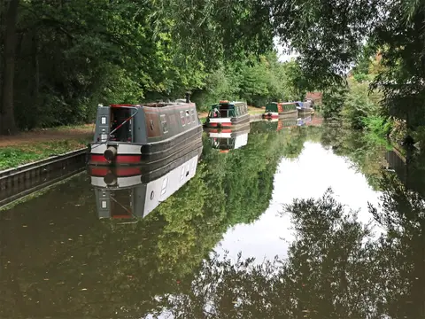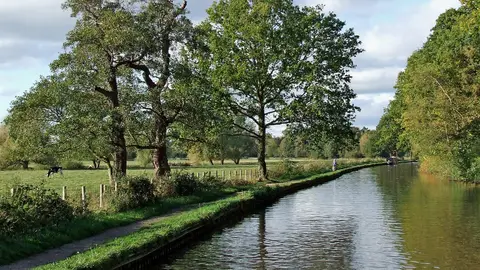
Forty-six miles of Brindley's canal from the Trent & Mersey at Great Haywood down to the Severn at Stourport
The Staffordshire & Worcestershire Canal runs 46 miles from Great Haywood Junction, where it leaves the Trent & Mersey Canal, south and west to the River Severn at Stourport-on-Severn. Forty-three locks carry it down over that distance. It opened in 1772 and is one of the older canals in the country, which shows in its scale: narrow locks, tight bridge-holes and a winding line that keeps to the contours rather than cutting through them.
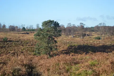
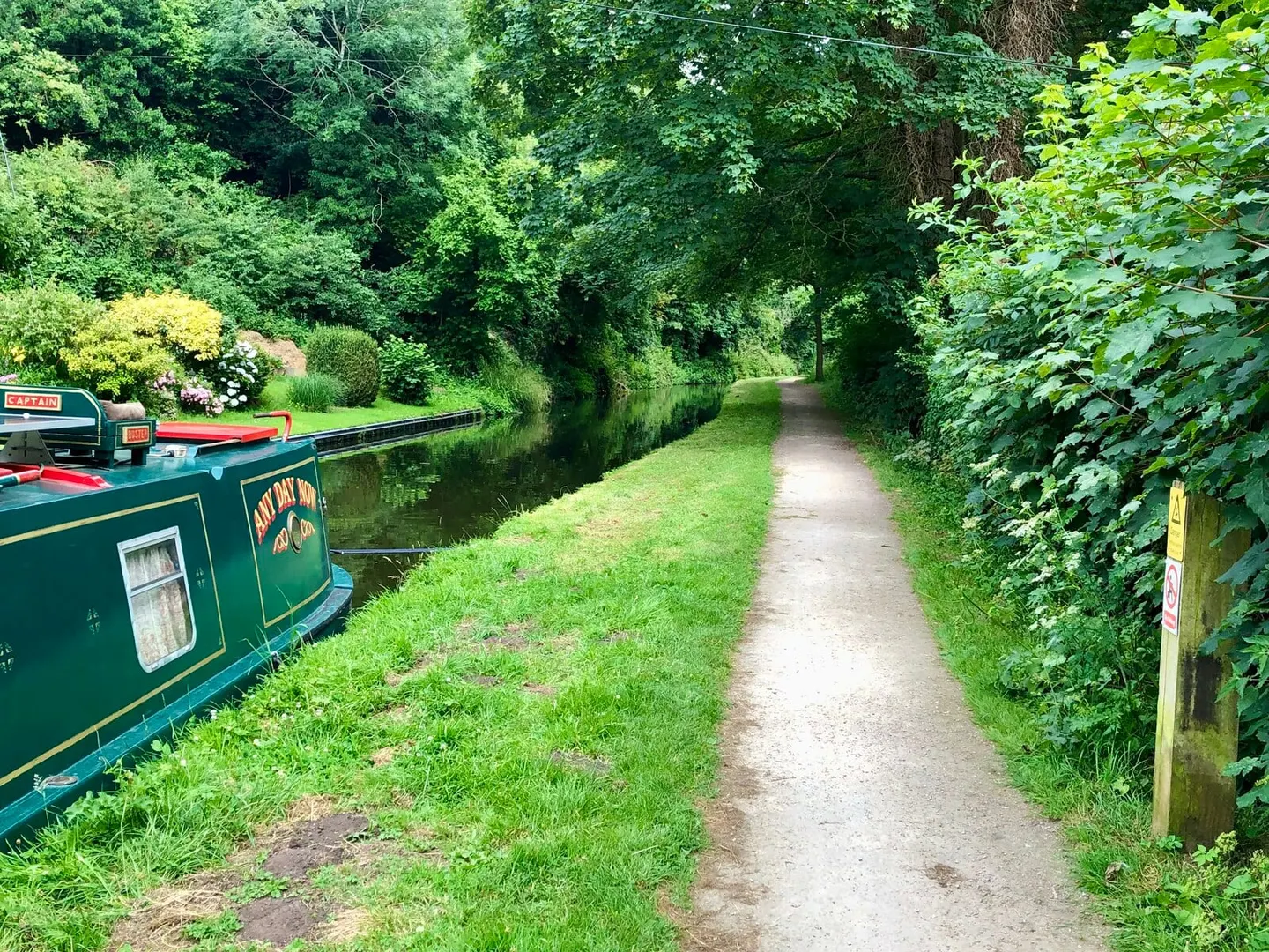
For most of its length it is a rural canal. From Great Haywood it skirts the edge of Cannock Chase, passes the outskirts of Wolverhampton at Autherley, then runs south through the red-sandstone country around Kinver, with the staircase of the Bratch locks at Wombourne among its set-pieces. The towpath is continuous and mostly easy walking or cycling, and the canal is well used by boats making the Stourport Ring and other Midlands circuits.
The canal was engineered by James Brindley as part of his “Grand Cross” scheme to link the Severn, Trent, Mersey and Thames. It was the only arm of that plan finished in his lifetime. Stourport-on-Severn, its southern terminus, barely existed before the canal came: the town grew up around the basins Brindley built to transfer cargo between the canal and the river, making it one of the few English towns created by a waterway rather than served by one.
Access is straightforward. The canal threads through or beside Penkridge, Kinver and Kidderminster’s edge, and several points are within reach of the West Midlands rail network for a section walked one way.