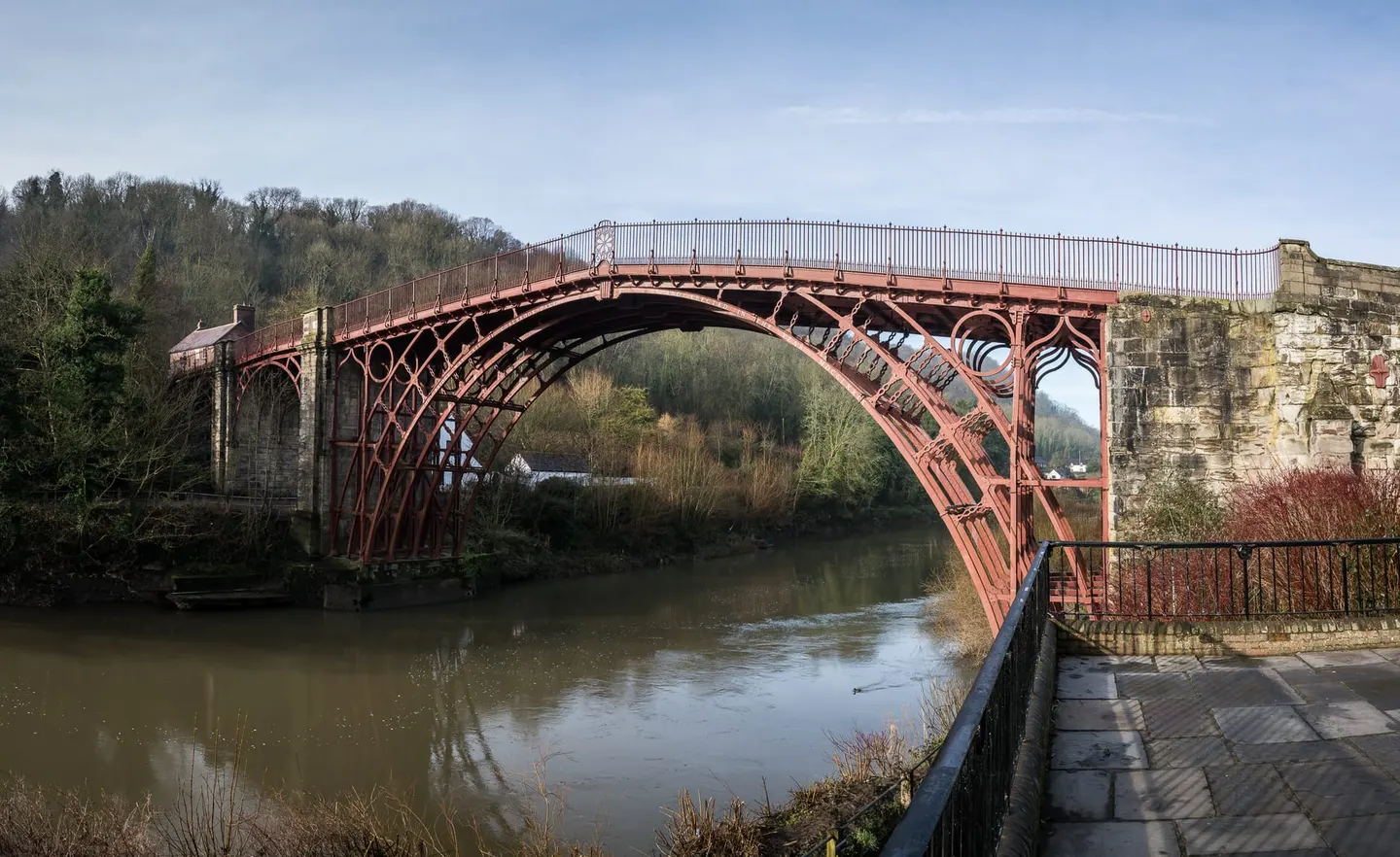
Places to explore near Wolverhampton
On its sandstone ridge at the edge of the Black Country, Wolverhampton made its name in wool before coal and iron remade it — a town of locks, keys, ironwork and japanned tin. Open country is nearer than the industry suggests. The heath and forest of Cannock Chase spread to the north-east, and the reclaimed colliery grounds of Baggeridge roll south-west toward the sandstone cliffs and cave houses of Kinver Edge. Beyond the Shropshire border the lone hump of The Wrekin marks where the hill country begins its run out toward Wales.
97 places within 25 km — the standouts first, nearest first within each group. 3 are national icons.
Worth the tripnational icons and local highlights within reach

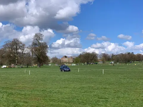
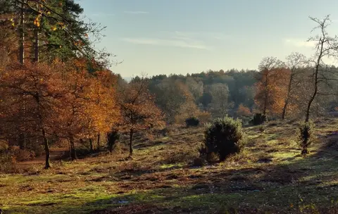
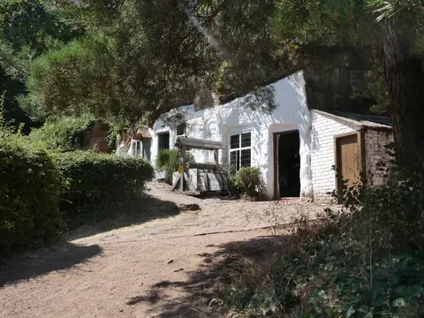
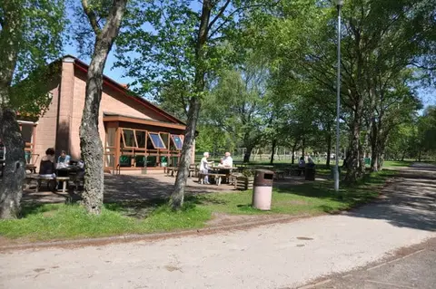
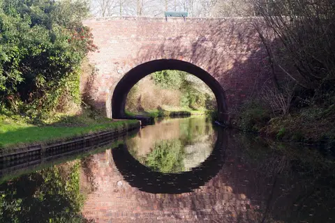
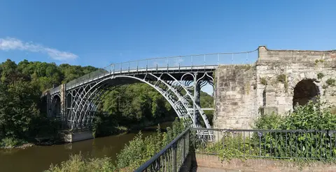
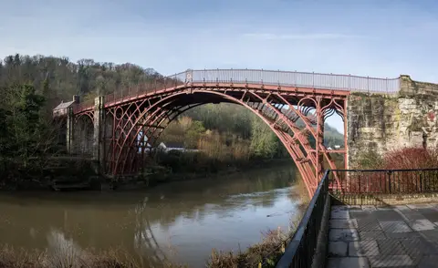
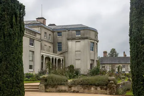
Also nearbygood places nearby, nearest first
Everything else within 25 km (64) — reserves, earthworks & places to check before travelling
- Essington Farm ShopFarm & farm shop6.7 km NE
- BrewoodVillage10.5 km N
- Highgate Common Country ParkCountry park10.6 km SW
- Sandwell Valley Country ParkCountry park12.4 km SE
- White Ladies (St Leonard's) PrioryPriory12.5 km NW
- David Austin RosesGarden12.8 km NW
- Halfpenny Green Wine EstateVineyard13.5 km SW
- Chasewater Country ParkCountry park14.4 km NE
- St Bartholomew's Church, TongChurch14.6 km NW
- Barr BeaconCounty top14.7 km E
- The LeasowesHouse & garden16.1 km SE
- KinverVillage16.3 km SW
- Woodgate Valley Country ParkCountry park16.7 km SE
- Sutton ParkCountry park16.9 km E
- Halesowen AbbeyAbbey17.2 km S
- Hagley HallHouse & garden17.9 km S
- Key Hill CemeteryHouse & garden18 km SE
- Cannock Chase Country ParkCountry park18 km N
- Geopark WayLong-distance path18.3 km SW
- Sedgley BeaconCounty topaccess unclear4.5 km S
- Gospel End Road CuttingSSSIaccess unclear5.2 km S
- Wren's NestNational Nature Reserve6.4 km S
- Turner's Hill (West Midlands)SSSIaccess unclear6.9 km S
- St James's PrioryPrioryaccess unclear8.4 km S
- Dudley CastleCastleaccess unclear8.7 km S
- Chillington HallHouse & gardenaccess unclear8.8 km NW
- Barrow Hill And Tansey GreenSSSIaccess unclear9 km S
- Four Ashes PitSSSIaccess unclear9.4 km N
- Fens PoolsSSSIaccess unclear9.6 km S
- Ketley ClaypitSSSIaccess unclear9.7 km S
- Cawney HillCounty topaccess unclear9.9 km SE
- The Black LionPub10.5 km N
- Big Hyde RoughSSSIaccess unclear10.6 km NW
- SaltwellsNational Nature Reserve11 km S
- Stowe Pool and Walk Mill Clay PitSSSIaccess unclear11.1 km NE
- Brewin's Canal SectionSSSI11.3 km S
- Turner's HillCounty topaccess unclear11.4 km SE
- Engleton Hall Roman villaRoman archaeological siteaccess unclear11.6 km N
- Daw End Railway CuttingSSSIaccess unclear11.6 km E
- Doulton's ClaypitSSSI11.8 km S
- Belvide ReservoirSSSIaccess unclear11.9 km N
- Two Roman camps near GreensforgeRoman archaeological siteaccess unclear12 km SW
- Cannock Extension CanalSSSI12 km NE
- Checkhill BogsSSSIaccess unclear12.3 km SW
- Swan Pool & The SwagSSSIaccess unclear12.7 km E
- WallsHillfortaccess unclear12.9 km W
- ClayhangerSSSIaccess unclear12.9 km NE
- Jockey FieldsSSSIaccess unclear12.9 km E
- Claverley Road CuttingSSSIaccess unclear13 km W
- Hay Head QuarrySSSIaccess unclear13.1 km E
- Sandwell PrioryPriory13.3 km SE
- Stubbers Green BogSSSIaccess unclear13.3 km E
- Wollaston Ridge QuarrySSSIaccess unclear14.3 km S
- Castle Hill motte (Shropshire)Castleaccess unclear15.1 km NW
- Mottey MeadowsNational Nature Reserve15.4 km NW
- The Castle FortHillfort15.4 km E
- EnvilleHouse & gardenaccess unclear16.1 km SW
- Bromsgrove Road Cutting, TenterfieldsSSSIaccess unclear16.2 km S
- Davenport HouseHouse & gardenaccess unclear16.5 km W
- Wychbury RingHillfortaccess unclear17 km S
- Kinver campHillfortaccess unclear17.4 km SW
- Penorchard & Spring Farm PasturesSSSIaccess unclear17.6 km S
- Gentleshaw CommonSSSI17.9 km NE
- The Wilderness & Vermin ValleySSSIaccess unclear18 km SW
Ordered by how far each place is worth travelling for, then by distance. Distances are straight-line to the nearest edge of each place — paths wind, of course.