Wyrley & Essington Canal
The "Curly Wyrley", a lock-free contour canal winding sixteen miles across the northern Black Country to Brownhills
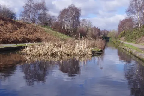
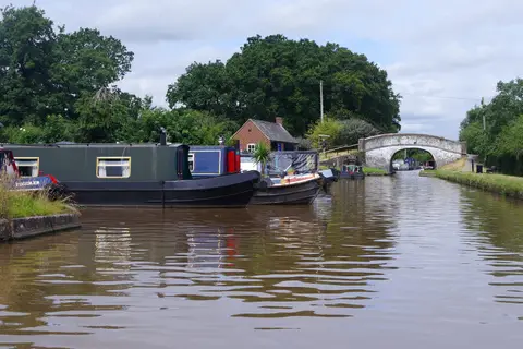
The Wyrley & Essington Canal runs about 16.5 miles on a single level from Horseley Fields Junction in Wolverhampton, where it leaves the Birmingham Canal Main Line, out to Ogley Junction at Brownhills. It has no locks along that line, which is the point of it: rather than climb, it follows the contour in long bends and doublings-back, and the twisting course earned it the local nickname the “Curly Wyrley”.
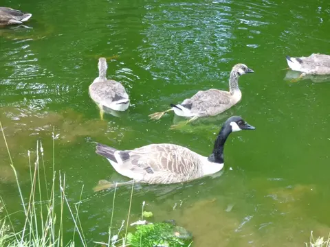
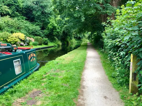
That lack of locks makes it one of the gentlest towpaths in the West Midlands to walk. It threads through Wednesfield, Bloxwich and Pelsall on the northern edge of the Black Country, and for a canal built to serve coal it is now surprisingly green in stretches, with old mine sites returned to scrub and water and a fair amount of birdlife along the margins. The subsidence left by the very collieries it was dug to reach has shaped the ground it passes through.
It was authorised in 1792 to carry coal from the pits around Wyrley and Essington to Wolverhampton and Walsall. Beyond Ogley Junction the canal once carried on through some thirty locks to meet the Coventry Canal at Huddlesford, near Lichfield; that arm was abandoned and is now the subject of the long Lichfield Canal restoration, which aims to reconnect the two systems.
The canal is easy to join at many points across the Walsall and Wolverhampton area, with local stations and bus routes close by, and it links directly into the wider Birmingham network at its Wolverhampton end.