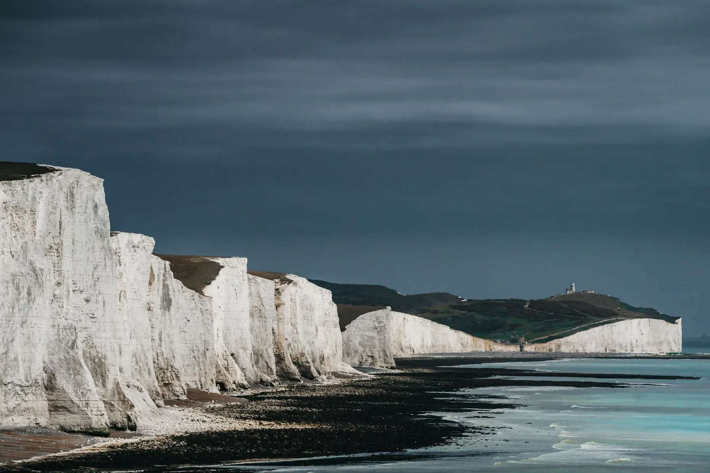
A chalk ridge of rolling hills and big skies running from Winchester to the sea, gentler walking than the northern parks but no less rewarding
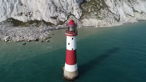
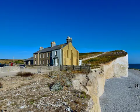
No sharp peaks here, no scrambling, just mile after mile of smooth chalk ridge with the sea eventually turning up at the end of it. The South Downs became a national park in 2010, the newest of the lot, covering 1,627 square kilometres between Winchester and the cliffs near Seven Sisters on the Sussex coast.
Here’s why the hills look the way they do: this whole ridge used to be the floor of a warm, shallow sea. Chalk is made almost entirely from the skeletons of tiny marine organisms, drifting down and compacting on the seabed over tens of millions of years back in the Cretaceous period, before earth movements pushed the whole lot up and out of the water. That soft, fine-grained rock is why the Downs roll rather than jag, eroding into smooth curves instead of crags, and why the paths drain so well after rain compared to peatier ground further north.
The South Downs Way runs the length of the park and is walkable or rideable in stages, with plenty of shorter loops branching off it. Butser Hill and Ditchling Beacon are two of the higher points and both give proper views out over the Weald, while Chanctonbury Ring, an old hillfort crowned with beech trees, is a good target for a half-day walk. Dew ponds, dotted across the ridge to water livestock where there’s no surface stream, are worth spotting as you go.
It’s exposed, open country, so wind and sun both hit harder than the tree cover elsewhere might suggest — pack for both even on a mild-looking day. Chalk turns greasy in the wet, so decent boots matter here too. Walkable comfortably most of the year, with spring bringing the best of the wildflowers on the unimproved grassland.