Sixty-six miles from the edge of London to the Channel at Newhaven, over the Downs and through Ashdown Forest
Indicative — sampled from open terrain data along the simplified route.
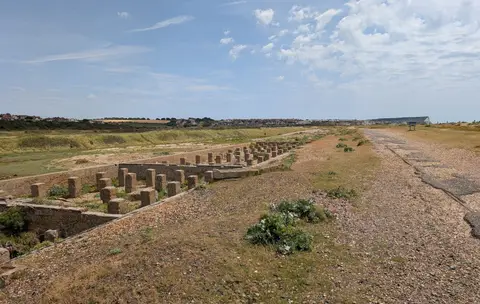
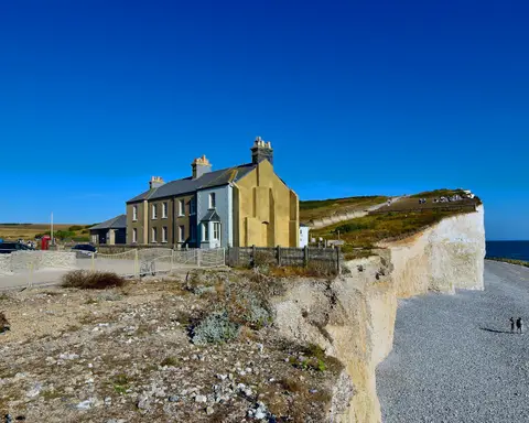
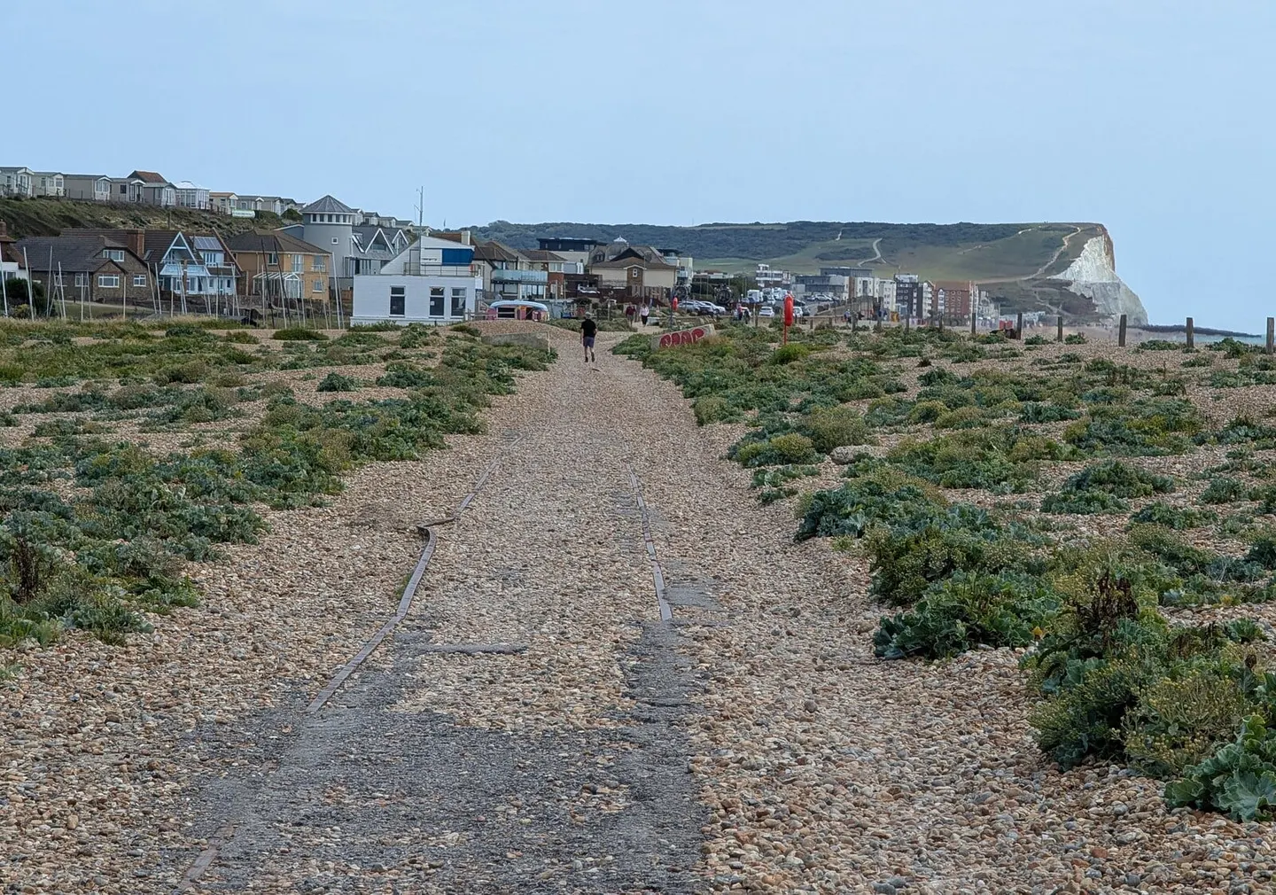
The Vanguard Way runs 66 miles from East Croydon, on the southern edge of London, to the harbour at Newhaven on the East Sussex coast. It leaves the suburbs quickly, crosses the M25 into Surrey, climbs the North Downs, and then works south through the High Weald and Ashdown Forest before reaching the chalk again on the edge of the South Downs. At the end it follows the Cuckmere down to the sea, passing the ruined Tide Mills and coming into Seaford with the port of Newhaven in view. It clips a corner of Kent on the way, and most walkers take four or five days.
The going is varied rather than hard. There are two ranges of chalk hills to cross and a good deal of woodland and farmland between them, but no mountain country and no long remote stretch. It is well waymarked, and because it starts at a railway station and passes several more, it is one of the easier long walks to break into day sections.
The route was devised in 1980 by the Vanguards Rambling Club to mark its fifteenth anniversary, and formally opened the following year. The club took its name from an occasion when its members rode home from a walk in the guard’s van of a crowded train, and it still looks after the path. The walk was laid out to link the capital with the south coast on foot, and much of its interest is in the change of ground it covers in a short distance, from London commuter country to the open chalk of the Seven Sisters coast.