About a hundred and fifty miles around the inland edge of Sussex, from Emsworth on the coast to Rye
Indicative — sampled from open terrain data along the simplified route.
The Sussex Border Path follows the old inland boundary of Sussex for roughly 150 miles, from Emsworth on the Hampshire border to Rye near the Kent line. It begins with a loop around Thorney Island on Chichester Harbour, then keeps broadly to the county edge where Sussex meets Hampshire, Surrey and Kent, running the length of both West Sussex and East Sussex before reaching the coast again at Rye.
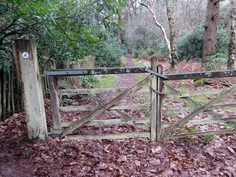
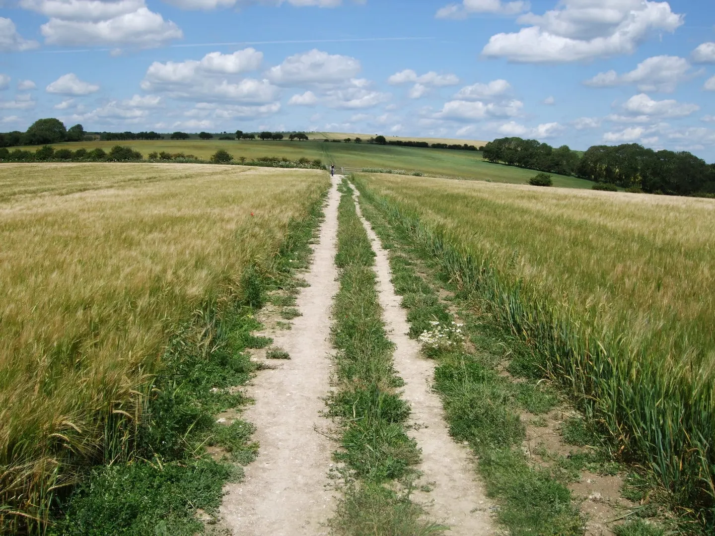
The path does not hold rigidly to the border. It swings to take in the better walking, cutting across the northern edge of the South Downs National Park and through the wooded ridges and small fields of the High Weald. The country is gentle rather than mountainous — rolling farmland, woodland, low hills and river valleys — but the full route is long, and much of it runs well away from towns, so it is more often walked in stages than in one go. It is waymarked with a martlet, the footless bird from the arms of Sussex.
There is a second strand, the Mid Sussex Link, a spur of about 33 miles that branches from the main path to connect East Grinstead with the coast near Brighton, giving a way to shorten a through-walk or to make a shorter circuit.
The route was devised by Ben Perkins and Aeneas Mackintosh and first published in 1983, linking existing rights of way around the county. Because it threads between several market towns and crosses a number of railway lines, it lends itself to being picked up and left a day at a time.