Sixty-four miles winding across the greensand heaths of the western Weald, from Haslemere to Petersfield
Indicative — sampled from open terrain data along the simplified route.
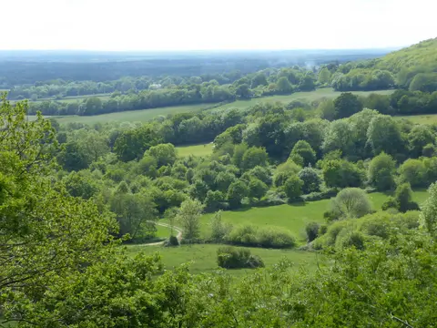
The Serpent Trail runs 64 miles between Haslemere and the Heath Pond at Petersfield, two towns only about eleven miles apart in a straight line. The distance comes from the deliberately winding course, which loops from one patch of lowland heath to the next along the greensand ridges where Surrey, Hampshire and West Sussex meet, all of it now inside the South Downs National Park.
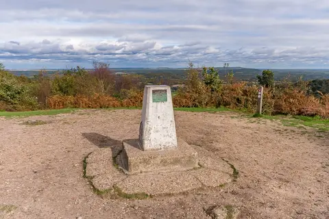
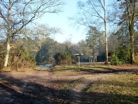
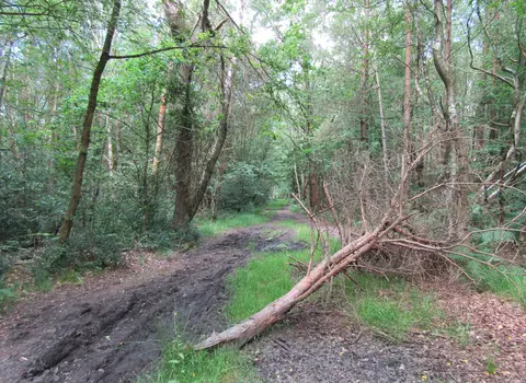
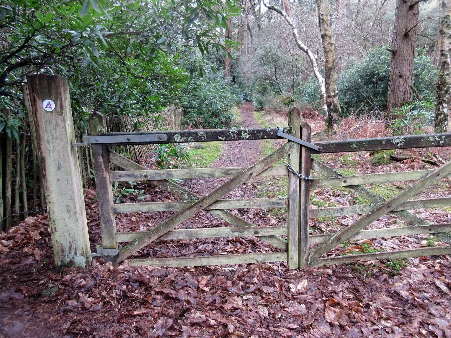
Underfoot it is heath, birch and pine woodland, and sandy track, with a fair amount of climbing between the ridges rather than any single big ascent. It passes over Black Down, the highest point in the South Downs, and through Woolbeding Common before dropping to Midhurst, then works east and south by Petworth and Fittleworth. Most walkers take three or four days. It is well waymarked with a purple disc showing a snake in roughly the shape of the route.
The name works two ways: for the serpentine line the path draws on the map, and for the reptiles it passes among, since all three native British snakes — adder, grass snake and smooth snake — live on these heaths. Lowland heath is a scarce habitat, much of it lost to farming and building since the early nineteenth century, and the trail was laid out to link the surviving fragments into a single corridor. It was opened in 2005.
Both ends are on the railway. Haslemere and Petersfield sit on the direct line between London Waterloo and Portsmouth, which makes the trail straightforward to walk in sections and to reach without a car, though the middle stretches around Midhurst have no station of their own.