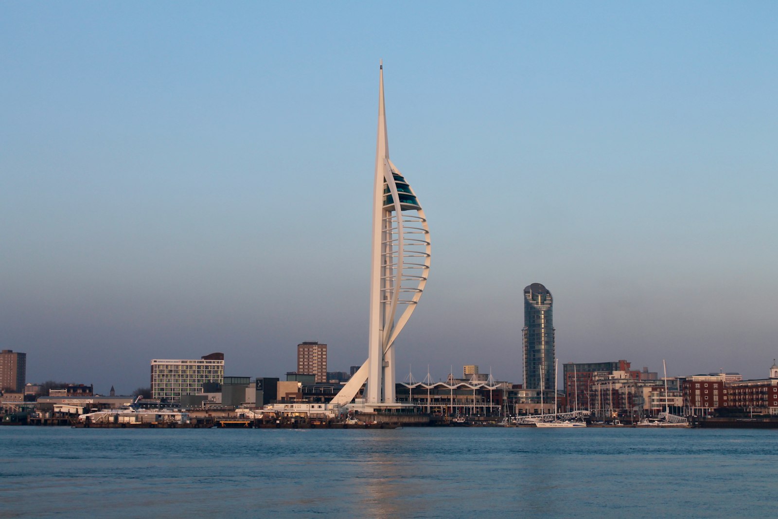
Photo Jonathan Hunt / Unsplash
Places to explore near Portsmouth
Britain's only island city, Portsmouth crowds onto Portsea Island and has been the Royal Navy's home port for five centuries — Nelson's Victory and the Mary Rose lie in its dockyard. Portsdown Hill rises behind the streets with the whole harbour laid out below, and the chalk of the South Downs follows on north to Butser Hill and the beechwoods of Queen Elizabeth Country Park. Sheltered water fills Chichester Harbour to the east, and the ferry crosses to the Isle of Wight.
101 places within 25 km — the standouts first, nearest first within each group. 4 are national icons.
Worth the tripnational icons and local highlights within reach
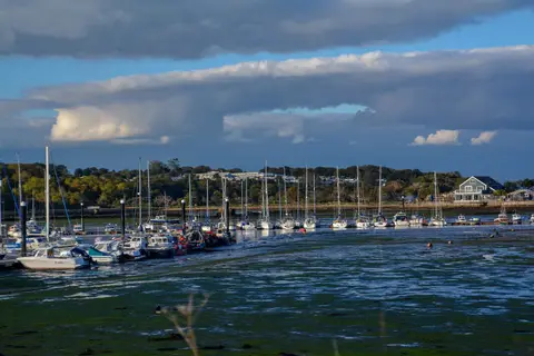
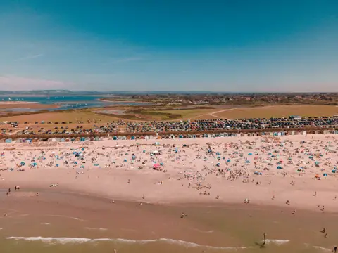
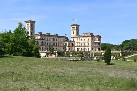


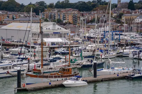


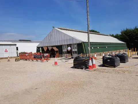
Also nearbygood places nearby, nearest first

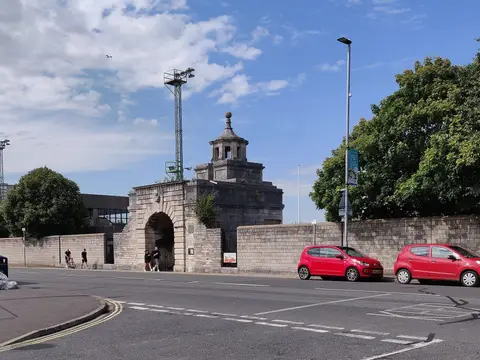
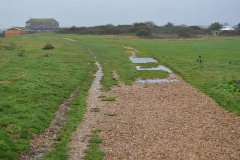
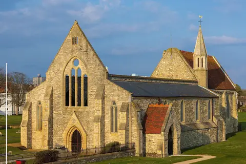
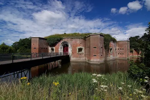
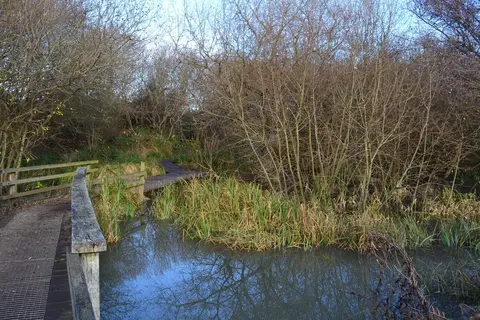
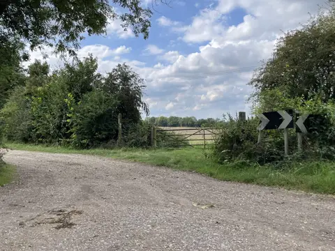
Everything else within 25 km (59) — reserves, earthworks & places to check before travelling
- Isle of Wight Coastal PathLong-distance path8.5 km S
- St Nicholas, BoarhuntChurch8.8 km NW
- Sussex Border PathLong-distance path10.6 km E
- Staunton Country ParkCountry park10.9 km NE
- St Peter's, TitchfieldChurch11.4 km NW
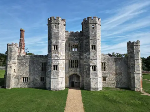
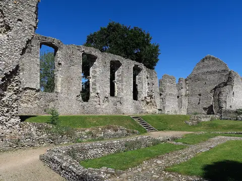
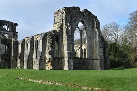
- Titchfield AbbeyAbbey11.9 km NW
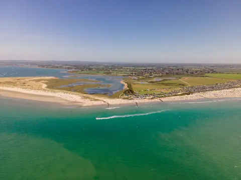
- East Head West WitteringCoastline12.6 km E
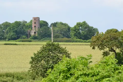
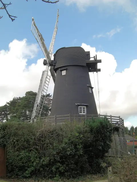
- Bembridge WindmillWindmill12.9 km S
- WickhamVillage13.2 km NW
- BradingVillage13.6 km S
- Speltham Down, HambledonCountry estate14.4 km N
- Portsmouth HarbourSSSIaccess unclear1.8 km NW
- Fort BlockhouseArtillery fortaccess unclear1.9 km SW
- Southsea CastleCastleaccess unclear2.3 km S
- Southsea EastSwimming spot2.4 km S
- Southsea SaunaSauna2.5 km SE
- Langstone HarbourSSSIaccess unclear3.4 km E
- EastneySwimming spot3.6 km SE
- Gilkicker LagoonSSSIaccess unclear4 km SW
- Sinah CommonSSSI4.7 km E
- Stokes BaySwimming spot4.8 km SW
- BrowndownSSSIaccess unclear5.6 km W
- The Wild GroundsSSSI5.7 km W
- PortsdownSSSI6.1 km N
- Hayling Beachlands WestSwimming spot6.5 km E
- Ports DownCounty top6.7 km N
- Ryde Sands and Wootton CreekSSSIaccess unclear6.7 km S
- Downend Chalk PitSSSIaccess unclear7.3 km NW
- Lee-on-the Solent to Itchen EstuarySSSI7.3 km W
- Hayling Beachlands CentralSwimming spot7.4 km E
- Hook Heath MeadowsSSSIaccess unclear7.5 km N
- Lee-on-SolentSwimming spot8 km W
- Lye Heath MarshSSSIaccess unclear8.1 km N
- The Solent SaunaSauna8.2 km W
- Chichester HarbourSSSI8.3 km E
- RydeSwimming spot8.6 km SW
- Hayling EastokeSwimming spot8.9 km E
- SeagroveSwimming spot9.3 km S
- HillheadSwimming spot9.6 km W
- Brading Marshes to St. Helen's LedgesSSSIaccess unclear9.6 km S
- Warblington MeadowSSSIaccess unclear9.9 km NE
- Priory WoodsSSSIaccess unclear10.1 km S
- Warblington CastleCastleaccess unclear10.2 km NE
- Titchfield HavenNational Nature Reserve10.3 km W
- King's Quay ShoreSSSI10.7 km SW
- St HelensSwimming spot11.2 km S
- Whitecliff Bay and Bembridge LedgesSSSIaccess unclear11.3 km S
- Slomo, BembridgeSauna11.5 km S
- Briddlesford CopsesSSSI12 km SW
- Botley WoodSSSI12.5 km NW
- BembridgeSwimming spot12.6 km S
- Bembridge School and CliffsSSSIaccess unclear12.6 km S
- Norris CastleHouse & gardenaccess unclear13.3 km W
- The Bat and BallPub13.5 km N
- Rowlands CastleCastleaccess unclear13.7 km NE
- Eaglehead and Bloodstone CopsesSSSIaccess unclear13.7 km SW
- East CowesSwimming spot14 km W
- Whitecliff BaySwimming spot14.1 km S
- Ringwork and bailey at Motleys CopseEarthworks of a former castleaccess unclear14.5 km NE
Ordered by how far each place is worth travelling for, then by distance. Distances are straight-line to the nearest edge of each place — paths wind, of course.