Solent Way
Sixty miles along the Hampshire coast from Milford-on-Sea to Emsworth, following the shore of the Solent
Indicative — sampled from open terrain data along the simplified route.
The Solent Way is a 60-mile coastal walk from Milford-on-Sea in the west to Emsworth harbour in the east, tracing the Hampshire shore of the Solent the whole way. It is flat and low-lying, over sea walls, shingle, marsh and seafront, and it is usually walked in eight day-length sections. Little of it is remote — this is a busy, built-up coast — but it strings together a run of harbours, castles and nature reserves along the water.
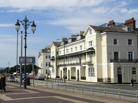
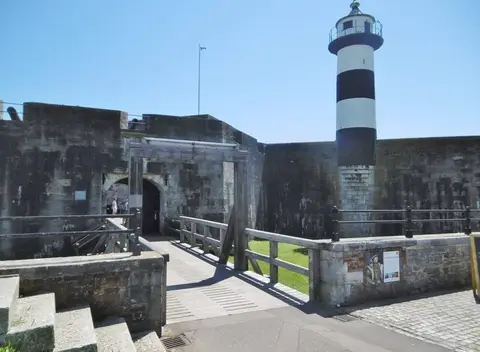
From Milford it passes Hurst Castle on its shingle spit and the marshes at Keyhaven, then reaches Lymington and skirts the edge of the New Forest by Buckler’s Hard and Beaulieu. It comes up the west side of Southampton Water to Hythe, crosses into Southampton itself, then works east past Netley Abbey, Hamble, Titchfield Haven and Lee-on-Solent to Gosport. Two more water crossings by ferry take it through Portsmouth and Southsea, past Farlington Marshes and Langstone Harbour to finish at Emsworth.
Three ferries are part of the route — across Southampton Water at Hythe, over the Hamble, and across Portsmouth Harbour from Gosport — so it needs a little planning around their times. In return the coast is easy to reach: Lymington, Southampton, Portsmouth and Emsworth all have stations, which makes the walk simple to take in stages.
The name is straightforward — the path follows the Solent, the strait between the mainland and the Isle of Wight. It forms part of the longer King Charles III England Coast Path along this stretch, and its waymark is a green arrow with a tern.