Seventy miles across Hampshire from the high chalk of Inkpen Beacon down to the Solent shore at Emsworth
Indicative — sampled from open terrain data along the simplified route.
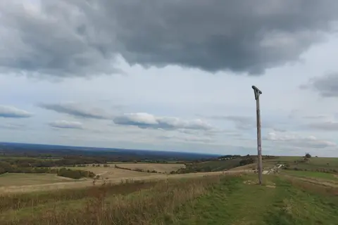
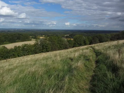
The Wayfarer’s Walk crosses Hampshire from north to south, about 70 miles from the downs at Inkpen Beacon to the sea at Emsworth. It starts high, on the chalk ridge over Walbury Hill — at 297 metres the highest chalk hill in England — and near Combe Gibbet, then works down the county through open downland, farmland and finally coastal marsh. Most walkers take four or five days over it.
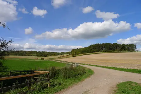
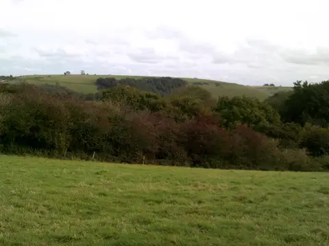
The early miles are the best of it: a ridgeway along the tops with long views, passing Watership Down, the stretch of downland Richard Adams made the setting for his novel. From there the route drops through Kingsclere and the villages of the chalk, past Hinton Ampner and the old battlefield at Cheriton, then over the Meon valley and the last chalk ridge at Portsdown before descending to the harbours of the Solent coast. The walking is moderate — rolling rather than steep, well waymarked, and never far from a village.
It touches several other Hampshire routes as it goes. It begins where the Test Way ends on Inkpen Beacon, crosses the South Downs Way on the downs, and shares its final coastal stretch with the Solent Way into Emsworth. Both ends are reachable by public transport — Emsworth has a station on the coast line — though the exposed high start at Inkpen takes a little more effort to get to.
The route was devised by Hampshire County Council and stitched together from existing rights of way. Its name simply marks it as a wayfarer’s route across the county, high chalk to salt marsh in one line.