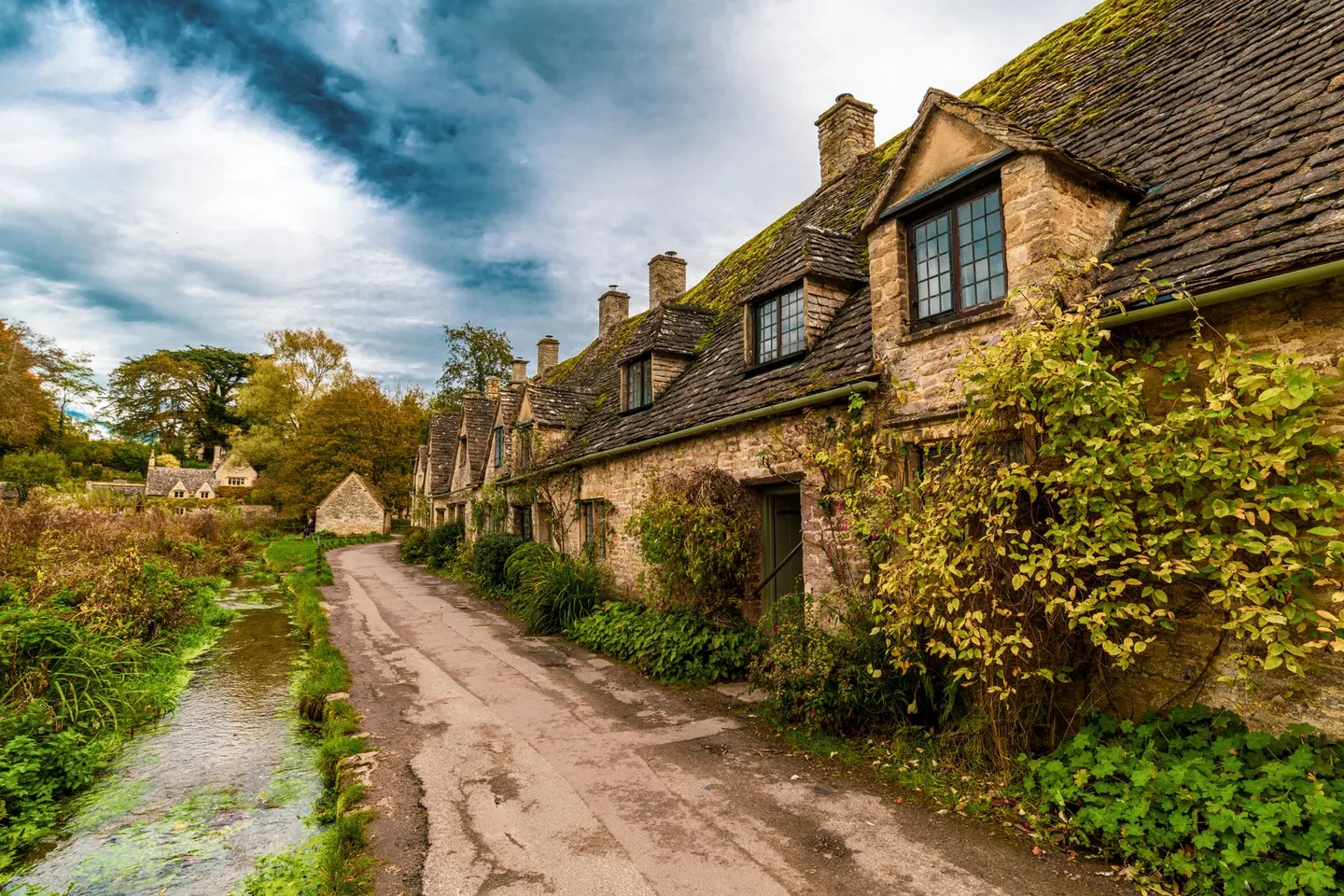
National Landscape · Gloucestershire, Oxfordshire, Wiltshire, Warwickshire, Worcestershire and Somerset
The Cotswolds
Limestone hills of honey-coloured villages, wool churches and sheep country, from the edge above the Severn Vale down to the Thames
Between Bath, Cheltenham and Oxford
- Area
- 787 sq miles
- 2,038 km², the largest National Landscape in England and Wales
- Designated
- 1966
- and extended in 1990
- Highest point
- 330 m
- Cleeve Hill, above Cheltenham
- Counties
- 6 counties
- about 70 per cent of it in Gloucestershire
- Train stations
- 8 inside
- and 19 more within 4 miles (6 km) of the boundary
- Places to visit
- 338 places
- in the Albion Guide, 72 of them top sights or highlights
Cotswolds map
The 787 square miles of the Cotswolds, its 8 areas, the towns around it and the stations that reach it
The eight areas are this page's own, drawn round the towns and valleys people know; the Cotswolds National Landscape Board divides the land by landscape type instead. Relief from open terrain data: contours every 20 m, a heavier line each 100 m.
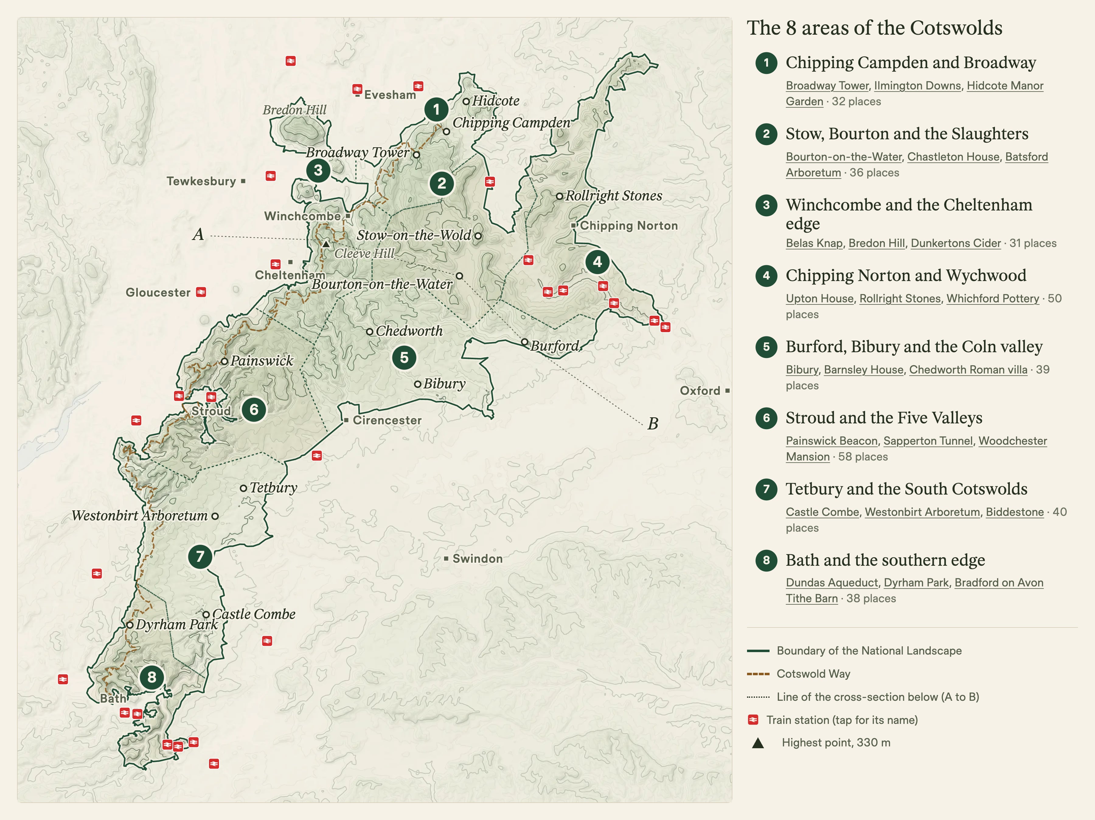
Save or print the Cotswolds map
The map above as one large image, with the key to the 8 areas, for your phone or for printing.
- Download the Cotswolds map JPG, 3,600 × 2,696 pixels
Cross-section of the Cotswolds, from the Severn Vale to the Thames
A line across the hills from the Severn Vale west of Cheltenham, over Cleeve Hill and down through Bourton-on-the-Water and Burford to the Thames, shows the shape of the Cotswolds: a climb of about 250 metres up the steep west edge in under 3 km, then a long, gentle fall of more than 40 km to the east. Move along it to see where you are on the map.
Inside the National Landscape. Heights are exaggerated about 31 times so the shape shows.
What are the Cotswolds?
The Cotswolds are a range of limestone hills in southern England and a protected National Landscape, 787 square miles of it, the largest in England and Wales. The hills reach from the edge of the Vale of Evesham in the north to Bath in the south, across six counties: about 70 per cent lies in Gloucestershire, and the rest in Oxfordshire, Wiltshire, Warwickshire, Worcestershire and the corner of Somerset around Bath. The area was designated in 1966 and extended in 1990, and the Cotswolds National Landscape Board looks after it.
The rock is Jurassic limestone, laid down between about 210 and 140 million years ago, and it tilts gently east. On the west side the hills end in a steep edge, the escarpment, with long views over the Severn Vale; to the east they slope away for miles as the wolds, high open farmland cut by the Churn, Coln, Leach, Windrush and Evenlode, which all flow south-east to the Thames. The Thames itself rises in a field near Kemble. The same stone built the villages, and iron in the rock gives it its colour: deep gold in the north, greyer around Northleach and Painswick, cream to honey near Bath.
People have farmed these hills for 6,000 years and left long barrows such as Belas Knap, hillforts along the edge and Roman villas such as Chedworth. In the Middle Ages the long-fleeced Cotswold Lion sheep made the area rich, and wool merchants paid for the great "wool churches" of Chipping Campden, Northleach and Burford. Around 6,000 km of dry-stone walls, most built when the open fields were enclosed in the 18th and 19th centuries, still divide the land. The name probably means "Cod's wold", the upland of a Saxon called Cod, though the story that it comes from sheep cotes is better known.
Areas of the Cotswolds
Eight areas, each round the towns and valleys people know, from the far north of the hills to Bath. The numbers match the map.
Area 1 of 8: the northern edge of the hills, above the Vale of Evesham
Chipping Campden and Broadway
- 32 places to visit
- 7 villages
- 12 top sights and highlights
- No station in the area
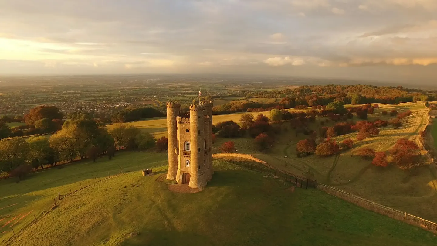
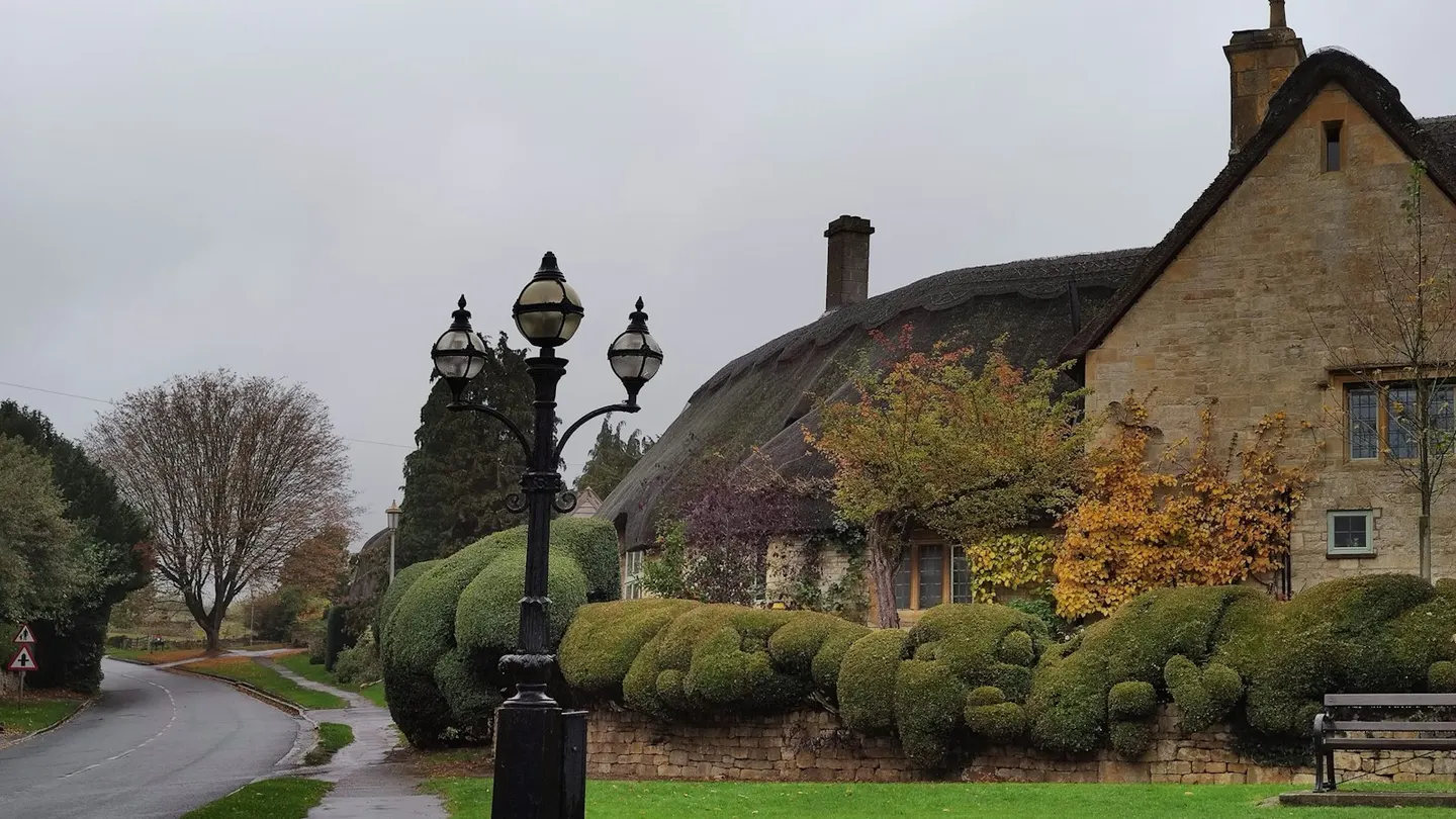
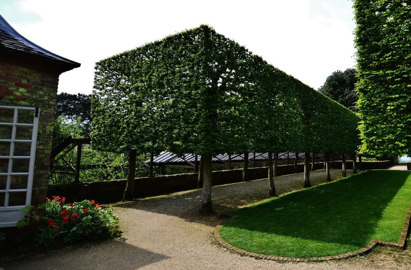
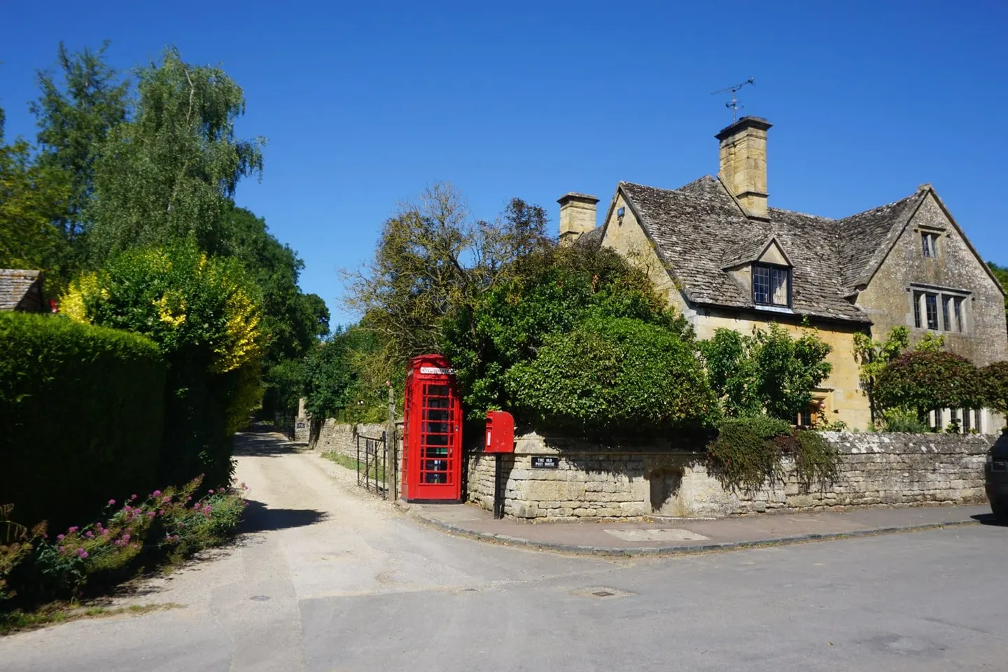
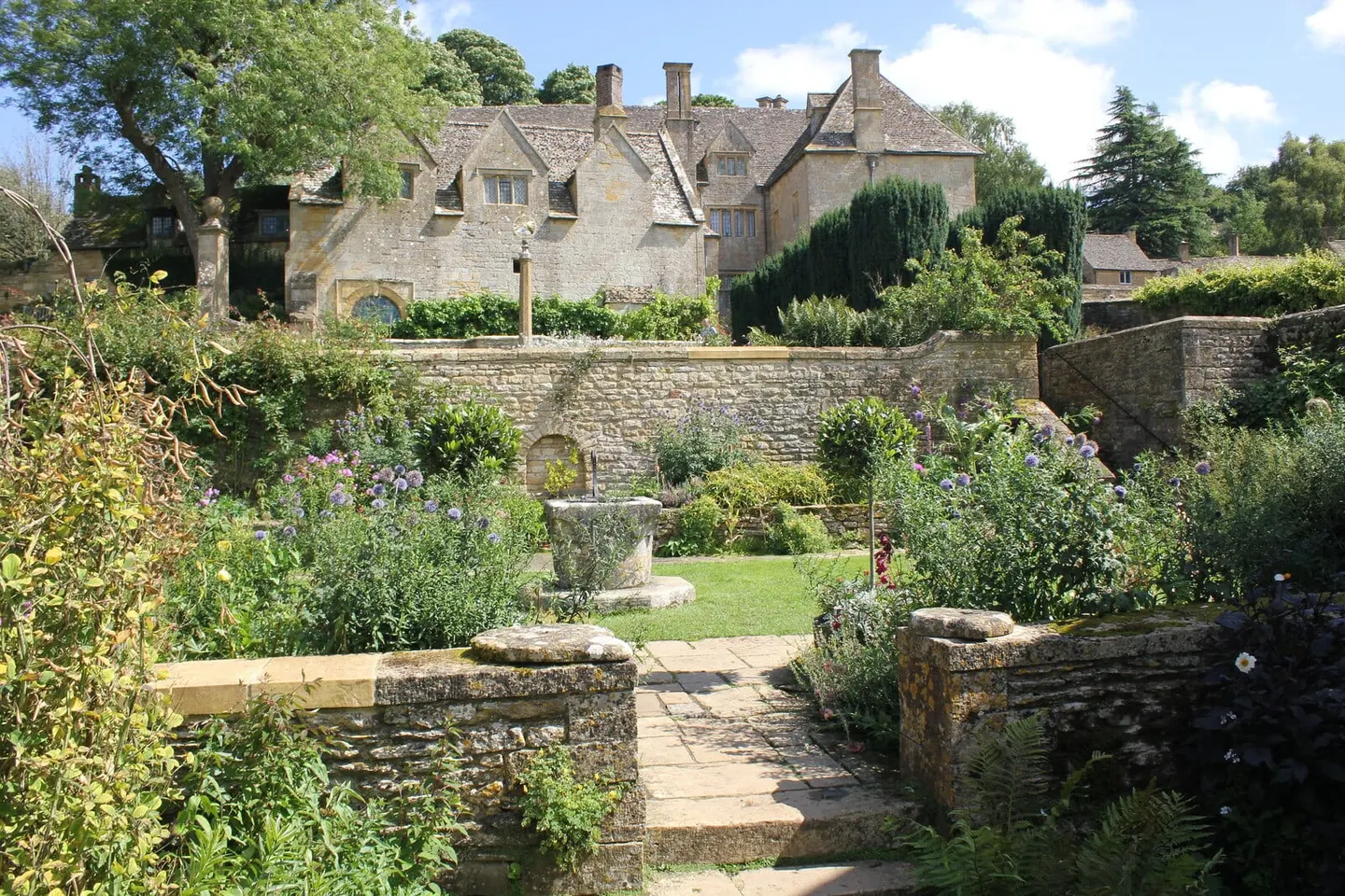
The north Cotswolds around Chipping Campden and Broadway are where the hills end in a steep edge above the Vale of Evesham, and where the stone is at its most golden. Chipping Campden grew rich on medieval wool: its High Street curves for most of a mile, past the pillared Market Hall of 1627, to St James', one of the great wool churches. The Cotswold Way sets off from the town for Bath, 102 miles away.
From Campden the Cotswold Way climbs to Broadway Tower, a battlemented folly of the late 1790s on the second-highest hill in the Cotswolds, then drops to Broadway and follows the foot of the edge south to Stanton and Stanway. Stanton is one street of gabled stone cottages with no shop or tearoom; at Stanway House the fountain in the water garden throws a single jet more than 300 feet high on the few summer afternoons the garden opens.
Two famous gardens face each other across a lane on the hill east of Campden: Hidcote, Lawrence Johnston's run of hedged garden rooms, begun in 1907 and the National Trust's first garden-only property, and Kiftsgate Court, known for a vast rose that flowers white in mid-July. Up on the wold, Snowshill Manor is packed with Charles Wade's collection of samurai armour, model ships and clocks, and Blockley, an old silk-mill village, climbs the sides of a steep valley.
What to see in Chipping Campden and Broadway
- 1
Broadway Tower Nature reserveTop sight
Built on Broadway Hill in the late 1790s for the Earl of Coventry, Broadway Tower is a little battlemented tower, the story being that his wife wanted to know whether a beacon lit on the hill could be seen from their house miles away.
- 2
Ilmington Downs SightHighlight
This Cotswold-edge ridge above Ilmington is the highest ground in Warwickshire, rising to 261m at Ebrington Hill right on the Gloucestershire border.
- 3
Hidcote Manor Garden House & gardenHighlight
Lawrence Johnston, an American-born soldier with no formal training, spent forty years from 1907 turning a Cotswold farm into one of Britain's great Arts and Crafts gardens — a run of hedged 'garden rooms', each with its own planting and mood, that went on to shape Sissinghurst and much of 20th-century design.
- 4
Kiftsgate Court Gardens House & gardenHighlight
Kiftsgate sits on a steep hillside just across the lane from Hidcote, its terraces dropping away below the house toward a view over the Vale of Evesham.
- 5
Chipping Campden VillageHighlight
Chipping Campden's High Street curves for the best part of a mile, lined with golden stone houses that grew rich on medieval wool.
- 6
Snowshill Manor and Garden House & gardenHighlight
Charles Wade, architect and compulsive collector, bought this Cotswold manor in 1919 and packed it with more than 22,000 handmade things — samurai armour, model ships, bicycles, clocks — while living plainly in an outbuilding himself.
- 7
Blockley VillageHighlight
Blockley made its money from silk — six mills once ran off the fast brook that still cuts through the village, all closed by the 1880s.
- 8
Ilmington VillageHighlight
Ilmington gathers honey stone and black-and-white cottages around a green at the foot of the Cotswold scarp.
- 9
Snowshill VillageHighlight
Tight stone cottages ring a small green on this breezy hilltop.
- 10
Stanton VillageHighlight
One street of gabled stone cottages runs the length of Stanton, under Shenberrow Hill on the Cotswold escarpment, with no shop or tearoom to break it up — one of the most complete unspoilt villages in the range.
- 11
Stanway VillageHighlight
The hamlet of Stanway, below the Cotswold escarpment, is built round Stanway House, a Jacobean manor in golden stone.
- 12
Lower Clopton Farm Shop Farm, vineyard or producerHighlight
A third-generation mixed farm at the foot of Meon Hill, Lower Clopton rears its own beef, lamb and turkey, then sells and cooks it through an on-site butchery, bakery and farmhouse cafe.
- 13
Mill Dene Garden House & garden
A steep, tucked-away garden climbing from an old Cotswold grain mill at Blockley, with a millpond and trout stream at the foot and the village church rising behind.
- 14
Ebrington Village
A tidy village of thatch and stone just east of Chipping Campden, known to locals by its old name 'Yubberton'.
All 32 places in Chipping Campden and Broadway are in the list of every place below.
Area 2 of 8: the high wold and the Windrush villages most visitors come for
Stow, Bourton and the Slaughters
- 36 places to visit
- 9 villages
- 7 top sights and highlights
- 1 station in or by the area
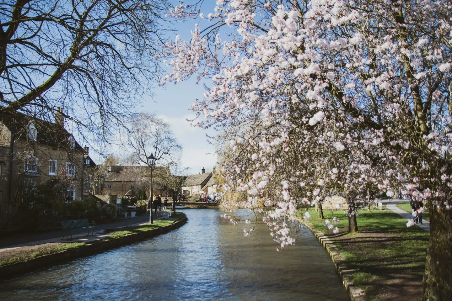
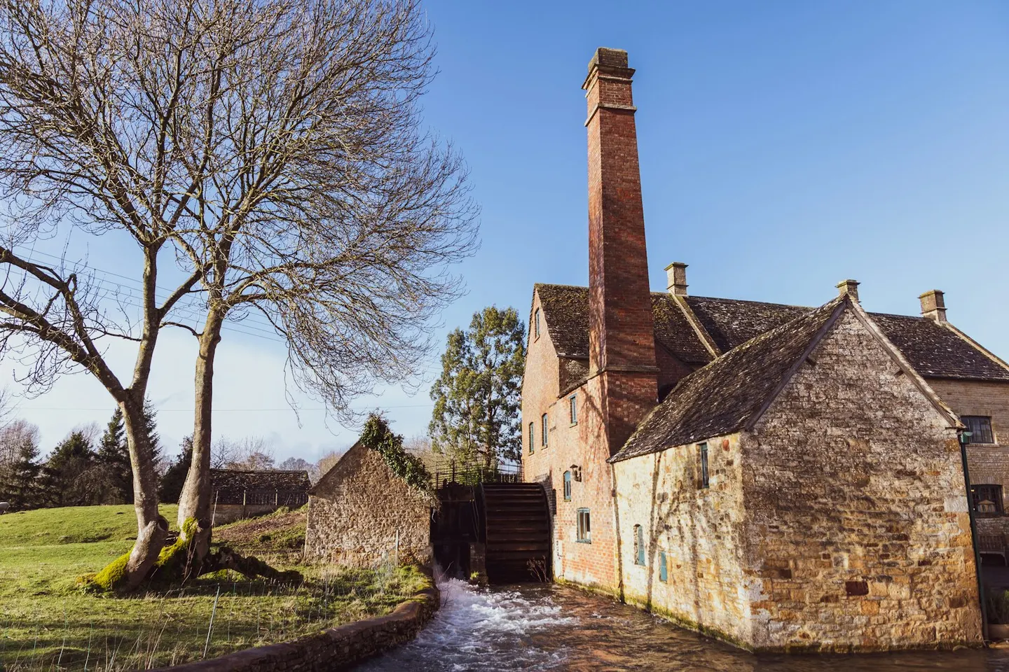
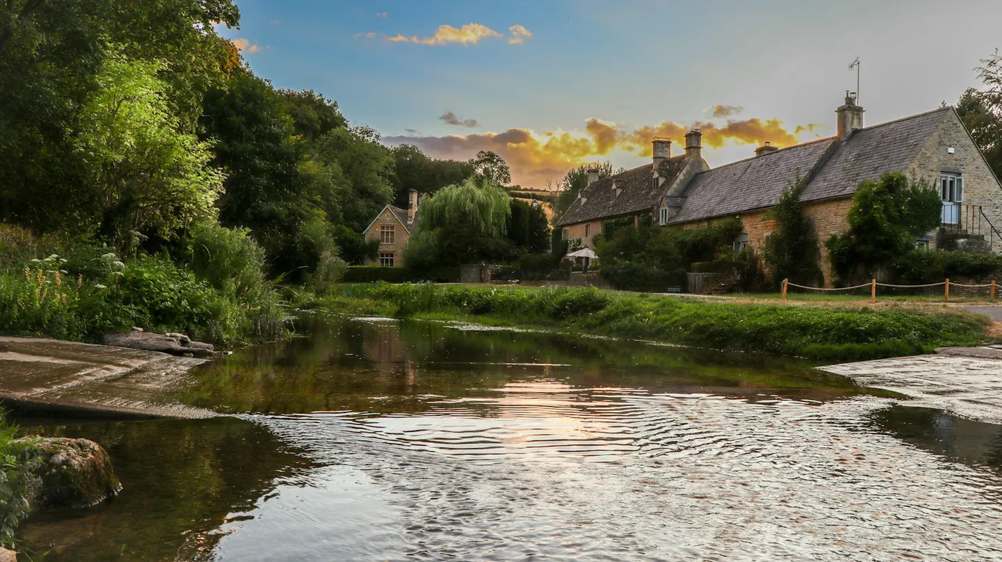
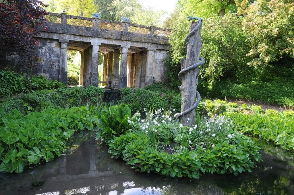
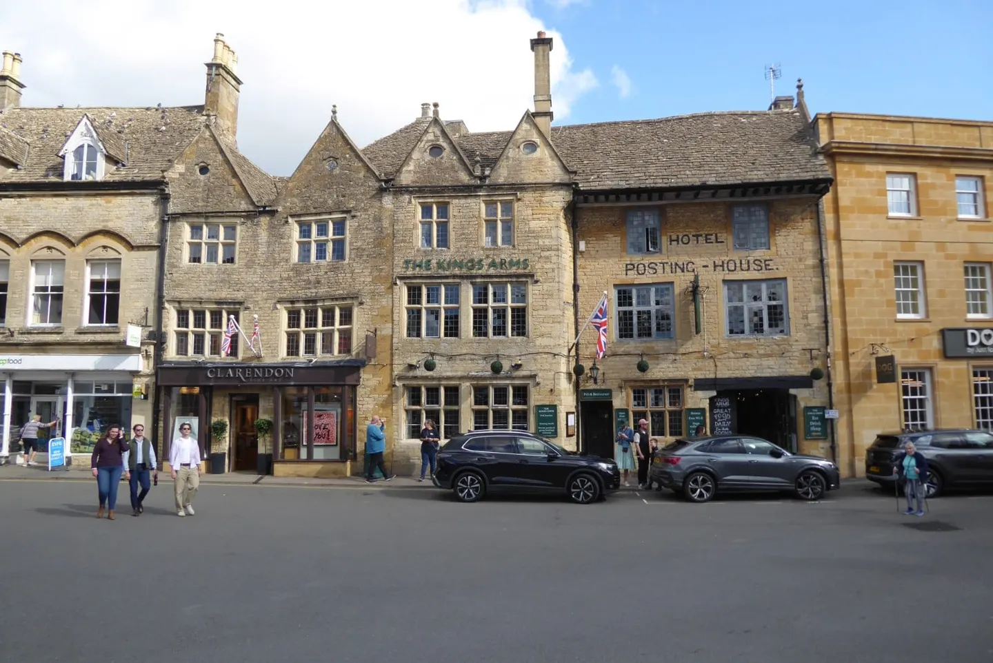
Stow-on-the-Wold, at around 800 feet the highest of the Cotswold market towns, is the hub of the busiest part of the Cotswolds. Narrow alleys called tures, built to funnel sheep into its big market square, still lead off the square, and the Porch House there claims to be England's oldest inn, though historians doubt its founding date of 947.
About four miles south-west, Bourton-on-the-Water has low stone bridges stepping across the shallow Windrush along its green. It's the busiest village in the Cotswolds and fills up in summer, so come early or out of season. A mile-long stroll beside the River Eye links Lower Slaughter, with its water mill, and quieter Upper Slaughter, one of England's few "doubly thankful" villages, whose servicemen all came home from both world wars.
North towards Moreton-in-Marsh, the big houses take over. Sezincote is a Mughal palace of onion domes built around 1805; the Prince Regent visited in 1807 and took the idea to Brighton. Batsford Arboretum was planted from the 1880s by the grandfather of the Mitford sisters, and Chastleton House, a Jacobean manor little changed in 400 years, is where the modern rules of croquet were drawn up in the 1860s.
What to see in Stow, Bourton and the Slaughters
- 1
Bourton-on-the-Water VillageTop sight
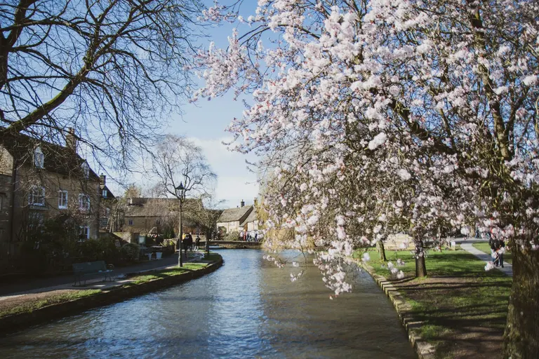
Bourton-on-the-Water, a Cotswold village, has low, wide stone bridges stepping across the shallow Windrush as it runs through a long central green — the reason it's called the 'Venice of the Cotswolds'.
- 2
Chastleton House House & gardenHighlight
The modern rules of croquet were codified at Chastleton in the 1860s, and you can still play on the lawns.
- 3
Batsford Arboretum House & gardenHighlight
Batsford is a 55-acre hillside arboretum above Moreton-in-Marsh, planted from the 1880s by the 1st Lord Redesdale — grandfather of the Mitford sisters — after his years in the Far East, and now the largest private tree collection in the country.
- 4
Sezincote House and Garden House & gardenHighlight
Sezincote is a Mughal palace dropped into the Cotswolds — an onion dome, minarets and copper turrets built around 1805 for a returning nabob, with a water garden of Indian bridges and a temple pool.
- 5
Stow-on-the-Wold VillageHighlight
Stow is the highest of the Cotswold market towns, at around 800 feet — hence the old line 'Stow-on-the-Wold, where the wind blows cold'.
- 6
Lower Slaughter VillageHighlight
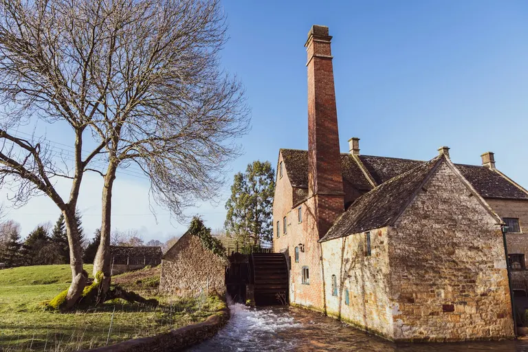
Honey-coloured cottages line both banks of the little River Eye here, linked by low footbridges, with an old red-brick water mill at one end still turning its wheel.
- 7
Upper Slaughter VillageHighlight
Upper Slaughter is one of England's few 'doubly thankful' villages — every one of its servicemen came home from both world wars, so it has no war memorial.
- 8
Moreton-in-Marsh Village
Moreton sits on the dead-straight Fosse Way, its wide main street built for markets — the Tuesday street market has run for centuries and still fills the town.
- 9
Bourton House Garden House & garden
Three acres of flamboyant borders, topiary and a knot garden wrap around a manor house at Bourton-on-the-Hill, with a Grade I-listed tithe barn of 1570 now serving teas.
- 10
Guiting Power Village
A genuinely working village rather than a showpiece — green at the centre, two pubs (one is The Hollow Bottom), a shop and a bakery, many of them kept going by a local trust that owns cottages and lets them to residents.
- 11
Abbotswood House & garden
Abbotswood sits above a quiet valley a mile or so from Stow-on-the-Wold, its terraced lawns and fountain laid out by Edwin Lutyens for the businessman Mark Fenwick in the early 1900s, with further Arts and Crafts planting added by Norman Jewson in the 1930s.
- 12
Daylesford House House & garden
Warren Hastings, the first Governor-General of British India, bought the unfinished house at Daylesford in 1788 and had it remodelled by Samuel Pepys Cockerell, the East India Company's architect, with a domed bay front echoing buildings he'd seen in India.
- 13
Bledington Village
A wide green with a brook running through it, ringed by stone cottages, with The King's Head Inn on one side.
- 14
Bourton-on-the-Hill Village
A single steep street of stone cottages climbing the hill above Moreton-in-Marsh, with wide views west and a good pub near the top.
All 36 places in Stow, Bourton and the Slaughters are in the list of every place below.
Area 3 of 8: the highest ground, where the hills fall steeply to the Severn Vale
Winchcombe and the Cheltenham edge
- 32 places to visit
- 3 villages
- 7 top sights and highlights
- No station in the area
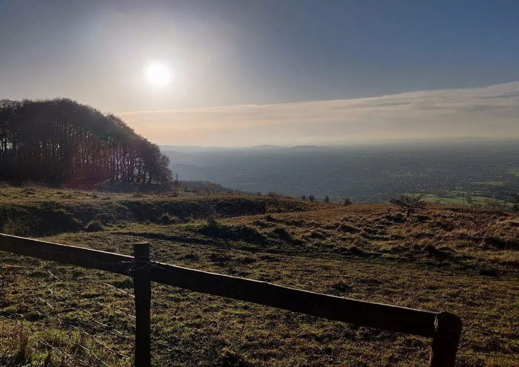
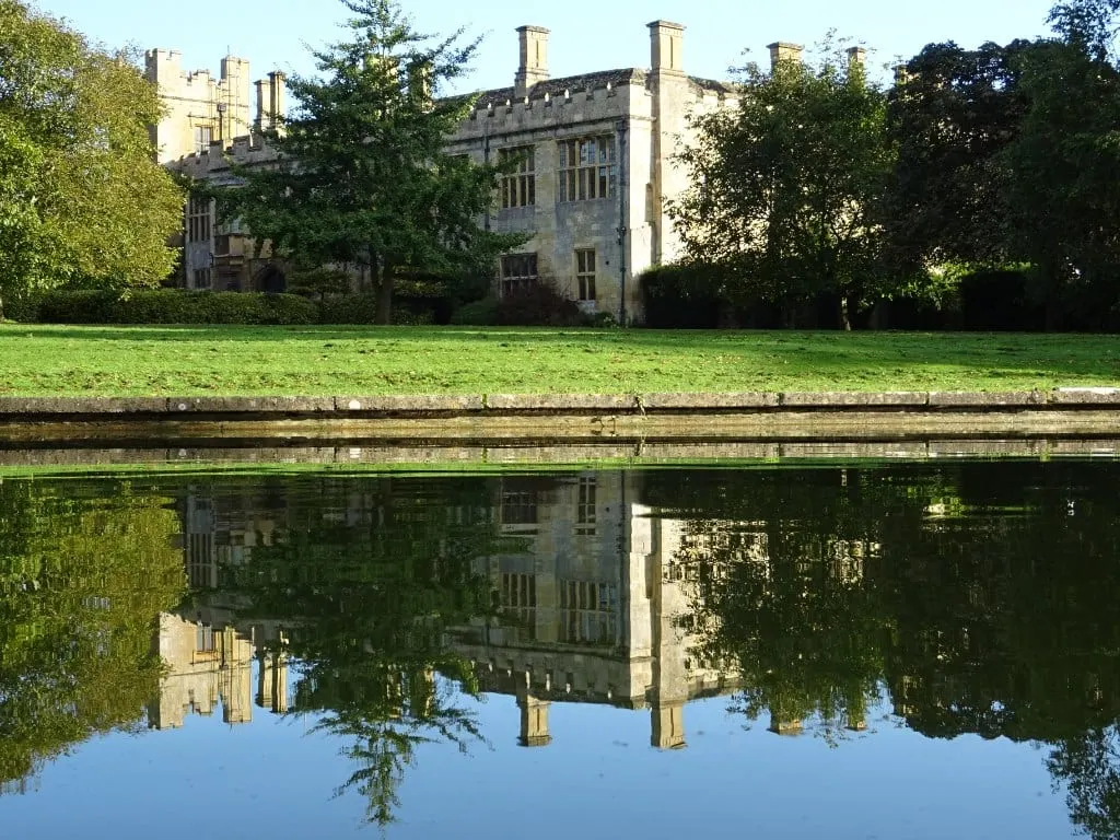
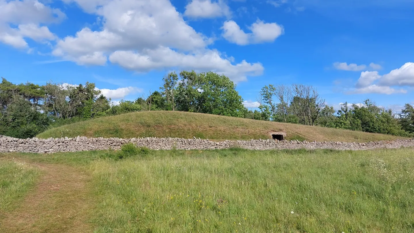
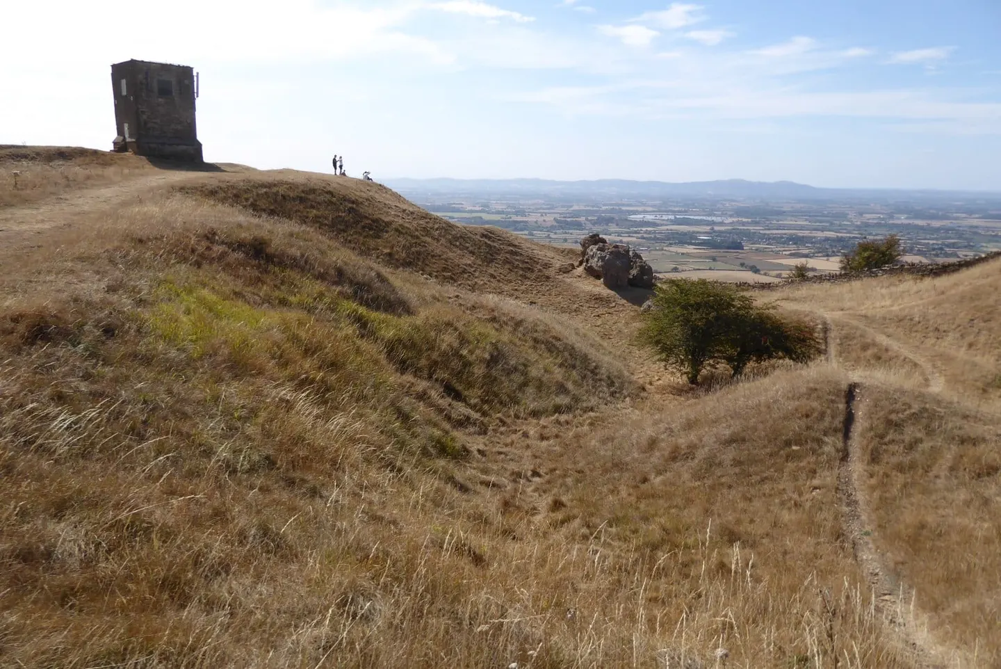
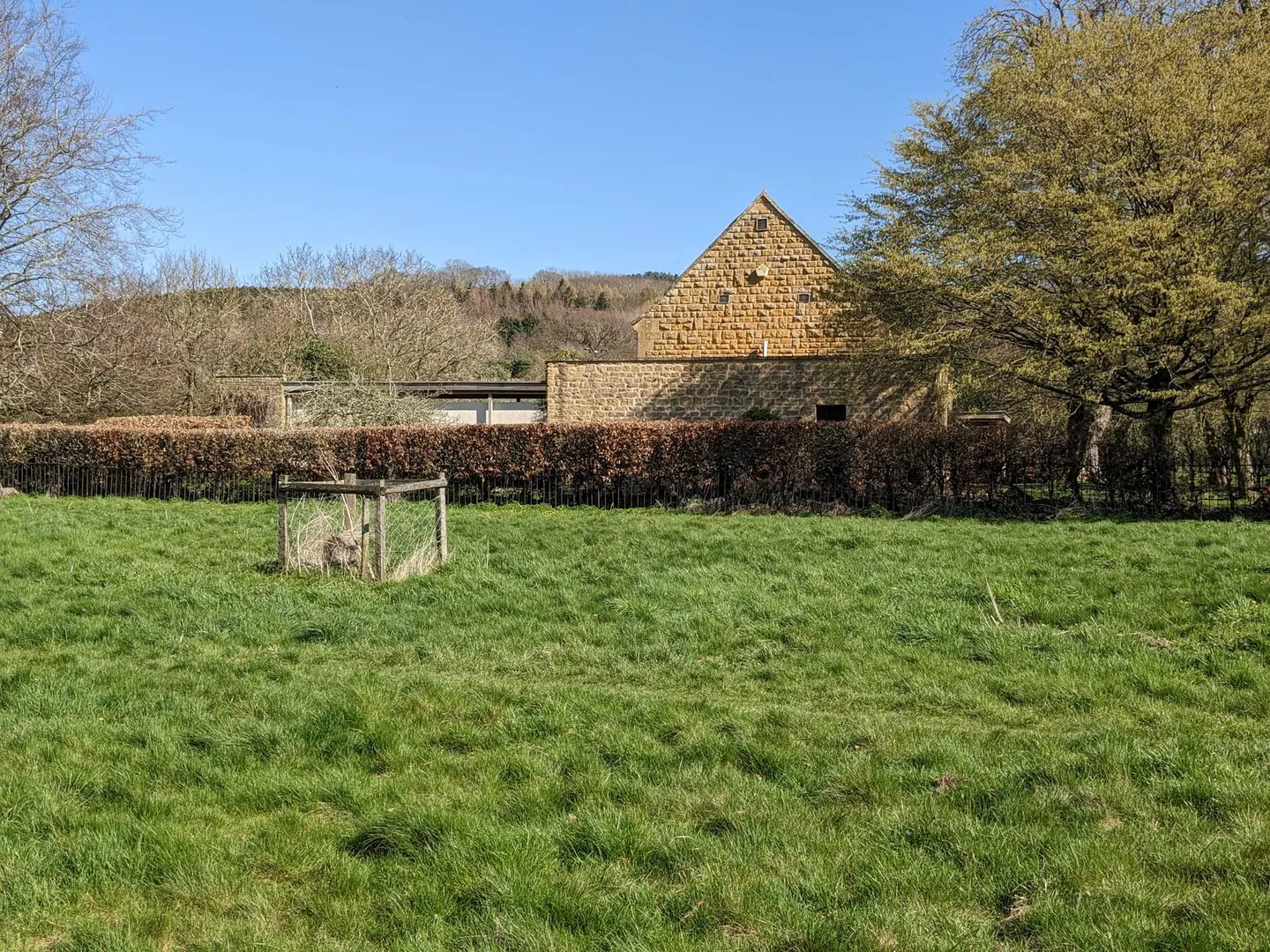
The Cotswold edge above Cheltenham is the steep west-facing rim of the hills and the highest ground in the Cotswolds. Cleeve Hill tops out at 330 metres on Cleeve Common, the largest common in the Cotswolds: open limestone grassland with gorse, a golf course and sheep, and a view west over Cheltenham and the Severn Vale to the Malvern Hills.
Winchcombe, a small market town under the edge, is the walkers' base, with the Cotswold Way running through it. A stiff climb south of the town brings you to Belas Knap, a Neolithic long barrow about 5,000 years old whose grand entrance is a dummy. At Sudeley Castle, on the edge of Winchcombe, Katherine Parr, the last of Henry VIII's wives, lived, died and lies buried, and the ruins of Hailes Abbey, a Cistercian abbey that drew pilgrims to a relic said to be Christ's blood, are about two miles north-east.
South-west of Cheltenham the edge runs on to Crickley Hill, a country park on the brow of the escarpment. To the north-west, Bredon Hill stands alone above the Vale of Evesham, a piece of the Cotswolds cut off from the main hills, with an 18th-century tower on its long flat top and Elmley Castle, a village of timber and thatch, at its foot.
What to see in Winchcombe and the Cheltenham edge
- 1
Belas Knap Ancient siteHighlight
A Neolithic long barrow sits on the ridge above Winchcombe, roughly 5,000 years old and some 50 metres long.
- 2
Bredon Hill SightHighlight
Bredon Hill stands alone above the Vale of Evesham, an outlier of the Cotswolds separated from the main scarp, which is why its long flat top is a landmark for miles around.
- 3
Dunkertons Cider SightHighlight
An organic cidery near Cheltenham with a taproom, wood-fired food and tastings that pair cider with cheese.
- 4
Sudeley Castle Gardens House & gardenHighlight
Katherine Parr, the last of Henry VIII's wives, lived and died at Sudeley and lies buried in its chapel — the only English castle where a queen is entombed in the grounds.
- 5
Cleeve Hill PeakHighlight
The highest ground in the Cotswolds is not really a climb at all.
- 6
Elmley Castle VillageHighlight
A wide street lined with horse chestnuts runs up through Elmley Castle to the church and the foot of Bredon Hill.
- 7
Winchcombe VillageHighlight
A friendly, unpretentious market town that makes a good walking base — the Cotswold Way runs through, and paths lead out to Belas Knap, the neolithic long barrow on the hill above.
- 8
Hailes Abbey Abbey
Hailes was a Cistercian abbey founded in 1246 by Richard of Cornwall, and from 1270 it held a phial said to contain the blood of Christ — a relic that drew pilgrims in such numbers that Chaucer name-checked it in the Canterbury Tales.
- 9
Overbury Court House & garden
Overbury Court's ten-acre garden sits behind the Georgian house the banker John Martin built around 1740, in parkland landscaped in the Capability Brown manner below Bredon Hill.
- 10
Winchcombe Abbey Abbey
There is nothing of Winchcombe Abbey left to walk round.
- 11
Cowley Manor House & garden
Cowley Manor is an Italianate Victorian house in a Cotswold valley near Cheltenham, now a country-house hotel and spa.
- 12
Deer Park Wines Farm, vineyard or producer
Deer Park sits on the limestone slopes of Bredon Hill, its 6,000-odd vines planted from 2016 across three plots beside a deer park and lake.
All 32 places in Winchcombe and the Cheltenham edge are in the list of every place below.
Area 4 of 8: the Oxfordshire Cotswolds, along the Evenlode and the old royal forest
Chipping Norton and Wychwood
- 50 places to visit
- 7 villages
- 4 top sights and highlights
- 7 stations in or by the area
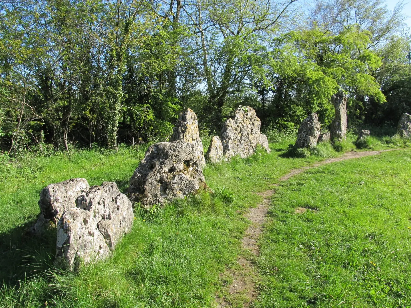
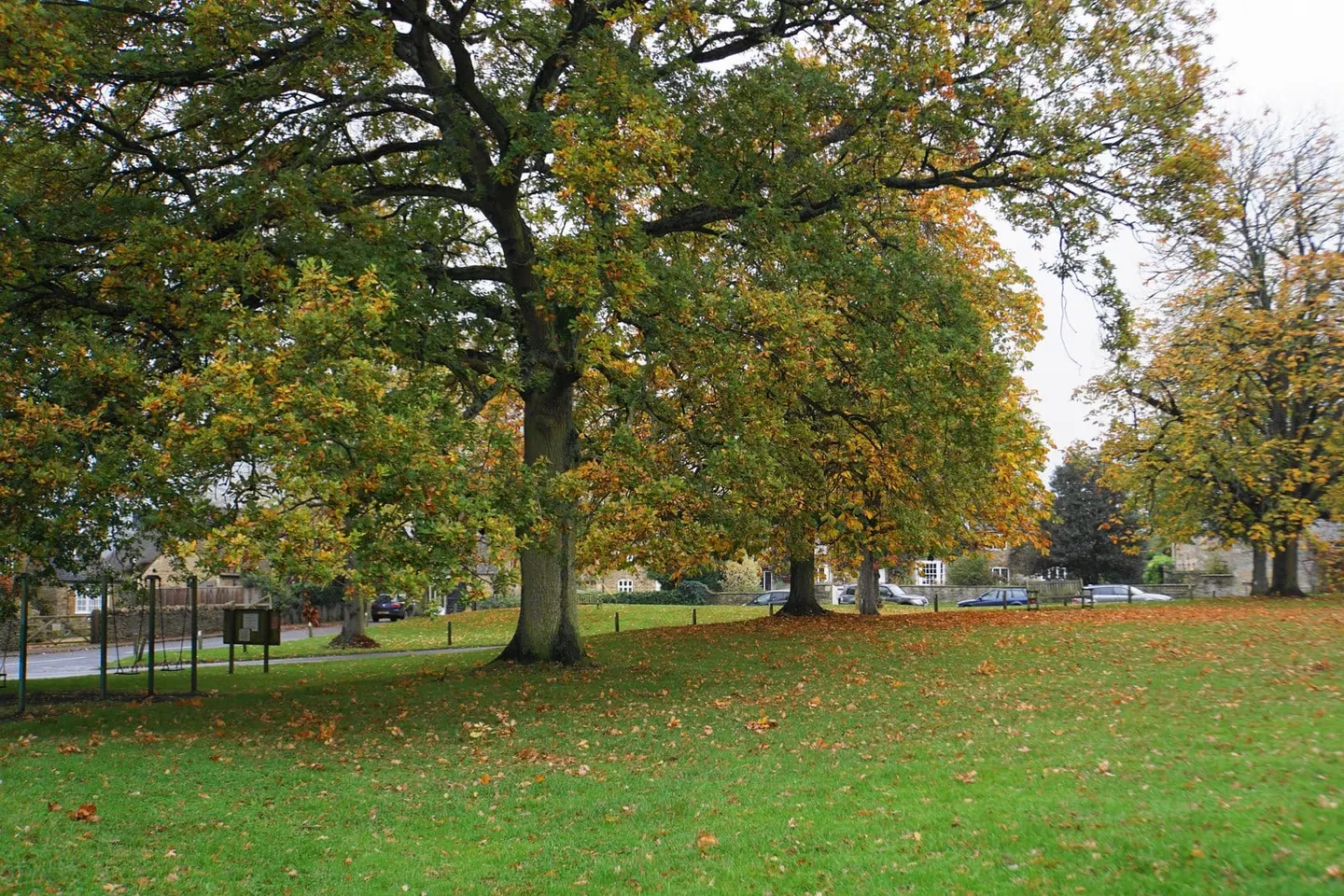
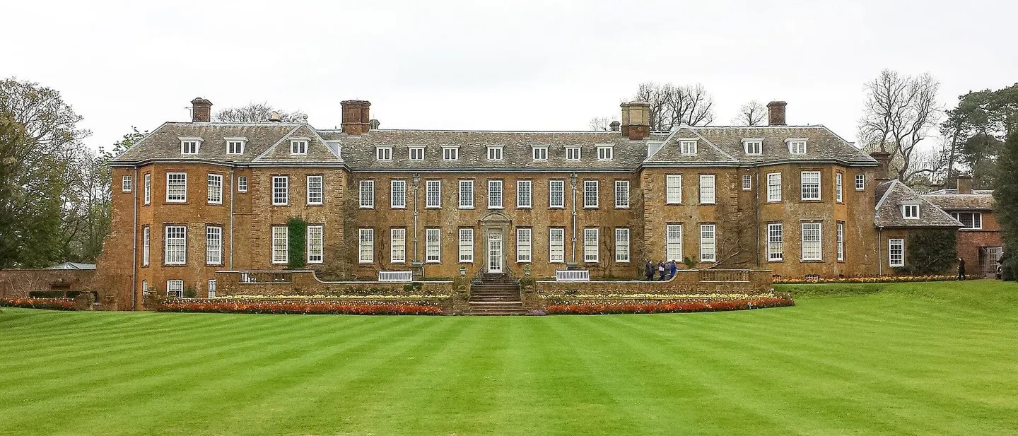
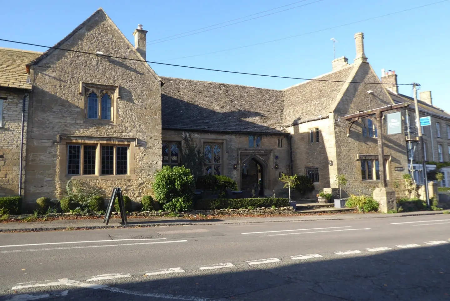
The Oxfordshire Cotswolds around Chipping Norton follow the Evenlode valley south-east through Wychwood, a royal hunting forest that once covered much of West Oxfordshire. The Cotswold Line railway runs down the same valley, which makes this the easiest part of the Cotswolds to explore without a car: Kingham and Charlbury have regular direct trains from Oxford and London Paddington.
Kingham, named England's favourite village by Country Life in 2004, has two well-known dining pubs on its green, and Charlbury is a small Evenlode town on the edge of the old forest, beside the walled deer park of Cornbury. Shipton-under-Wychwood, the largest of the forest villages, has the Shaven Crown, built in the 14th century by the monks of Bruern Abbey as a hospice, and down a lane near Charlbury the little chapel of All Saints, Shorthampton keeps its medieval wall paintings.
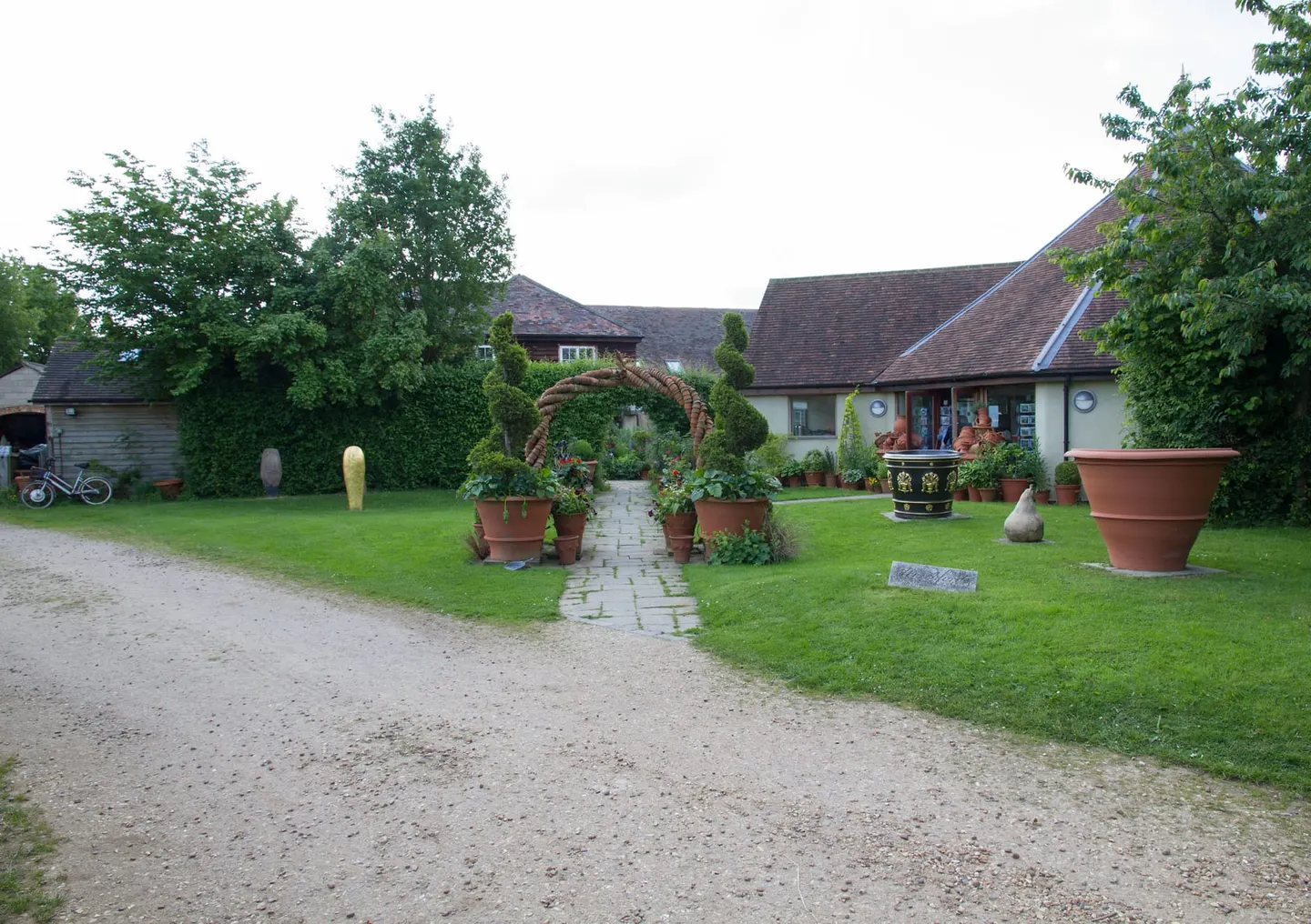
North of Chipping Norton, on the ridge where Oxfordshire meets Warwickshire, the Rollright Stones are three monuments in one: the King's Men stone circle, the single King Stone and the Whispering Knights, a burial chamber older than either. Beyond them the hills reach into Warwickshire at Brailes and Whichford, where a pottery founded in 1976 still makes terracotta flowerpots by hand, and Upton House, filled with Lord Bearsted's art collection, stands high near Edgehill.
What to see in Chipping Norton and Wychwood
- 1
Upton House House & gardenHighlight
Walter Samuel, 2nd Viscount Bearsted, bought Upton in 1927 and filled it with one of the finest private art collections of the century, on Shell oil money, with paintings by Bosch, El Greco and Stubbs still hung inside.
- 2
Rollright Stones Ancient siteHighlight
Three separate monuments stand along the ridge where Oxfordshire meets Warwickshire: the King's Men, a weathered circle of low stones; the single King Stone across the lane; and the tumbledown Whispering Knights, a burial chamber older than either at some 5,500 years.
- 3
Whichford Pottery SightHighlight
Jim and Dominique Keeling started Whichford Pottery in 1976, and the workshop still throws handmade frostproof terracotta flowerpots by the thousand each week.
- 4
Kingham VillageHighlight
Country Life named Kingham England's favourite village back in 2004, and the Evenlode-valley village has traded on it happily since.
- 5
All Saints, Shorthampton Church
Down a quiet lane in the Wychwood country stands All Saints, a small medieval chapel whose plastered nave walls keep an unusual spread of medieval paintings — saints and scenes still legible after a fashion.
- 6
Shipton-under-Wychwood Village
The largest of the Wychwood villages, Shipton spreads round a broad green with a fine church at one corner and the Shaven Crown at another — a stone inn that began in the 14th century as a hospice tied to Bruern Abbey.
- 7
Cornbury Park House & garden
For most of the year Cornbury's gates stay shut — a private Wychwood Forest estate along the Evenlode, with a walled deer park and no public access to the house.
- 8
The Japanese Garden at the New House House & garden
Built in 1964 around a modernist house for the barrister and arts patron Milton Grundy, this is one of the few Japanese-style gardens in England laid out with real expertise on the ground — a team of Japanese gardeners led by a Mr Kasamoto shaped the pool, raked gravel and stepping stones after Grundy's own trip to Kyoto.
- 9
Brailes Village
Upper and Lower Brailes run together in honey-coloured stone along the Cotswold edge.
- 10
Charlbury Village
A small Evenlode-valley town on the edge of the old Wychwood forest, Charlbury has a broad main street, a good deal of Quaker history, and its own station on the Cotswold Line with direct trains to Oxford and London.
- 11
Long Compton Village
A single long street of thatch and honey-coloured stone runs along the Cotswold edge here, close to the Oxfordshire border.
- 12
Whichford Village
A quiet village around a broad green on the Cotswold fringe, in ironstone and thatch.
- 13
Cotswolds Distillery Farm, vineyard or producer
The Cotswolds Distillery sits at Stourton, just outside Shipston-on-Stour, and was set up in 2014 by Daniel Szor.
All 50 places in Chipping Norton and Wychwood are in the list of every place below.
Area 5 of 8: wool towns and river villages on the long slope down to the Thames
Burford, Bibury and the Coln valley
- 39 places to visit
- 8 villages
- 7 top sights and highlights
- No station in the area
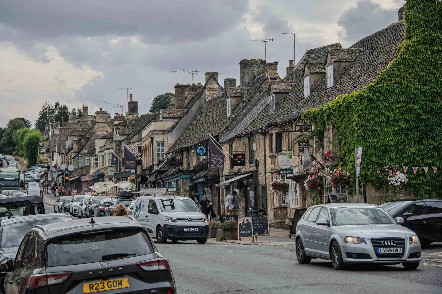
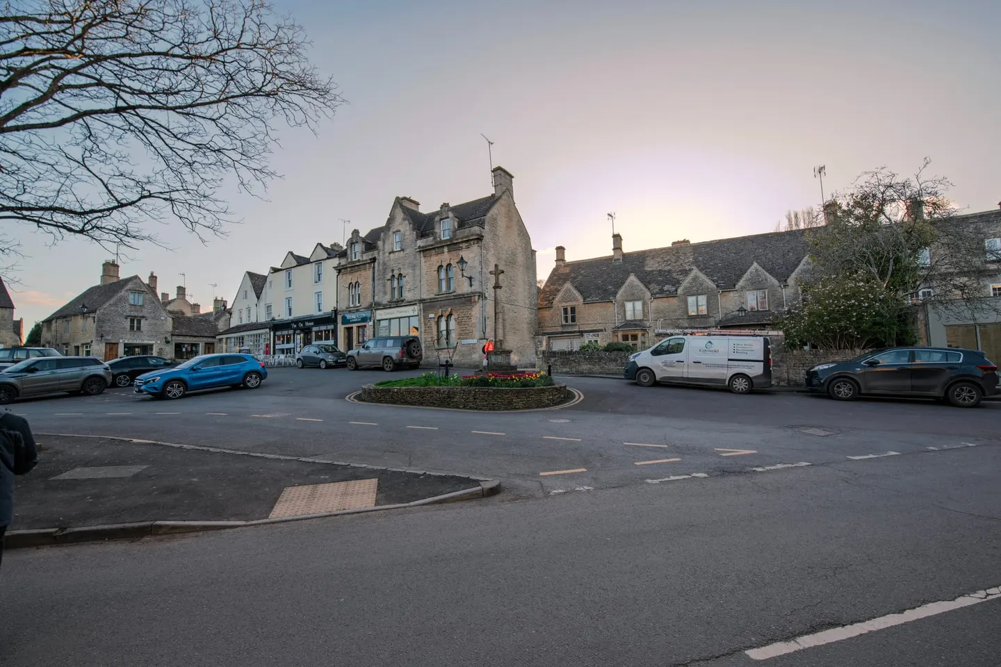
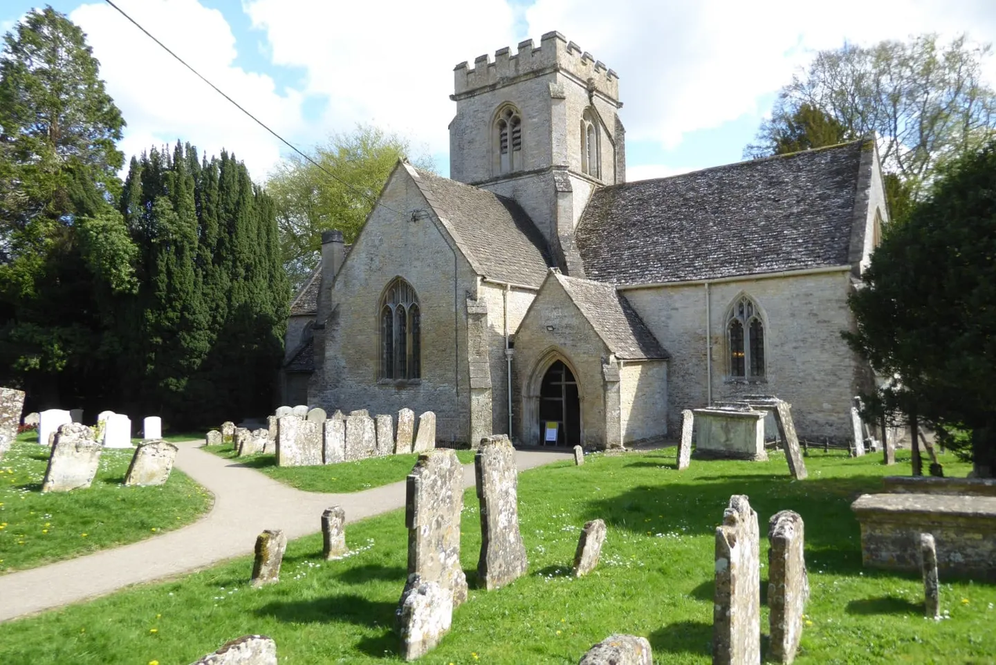
The central Cotswolds are the long, gentle slope of the hills down towards the Thames, cut by the valleys of the Windrush, Leach, Coln and Churn. Burford, the busy gateway town, has a wide high street running downhill between honey-coloured houses to a medieval bridge over the Windrush, with a big wool church at the bottom. Downstream, Swinbrook has the graves of the Mitford sisters in its churchyard, and Minster Lovell the riverside ruins of a 15th-century manor.
Northleach is a small medieval wool town that stayed largely unspoilt; its church of St Peter and St Paul, paid for by wool merchants, has one of England's finest sets of memorial brasses. The Cotswolds National Landscape Board works from the town's old prison on the Fosse Way, now the Cotswolds Discovery Centre.
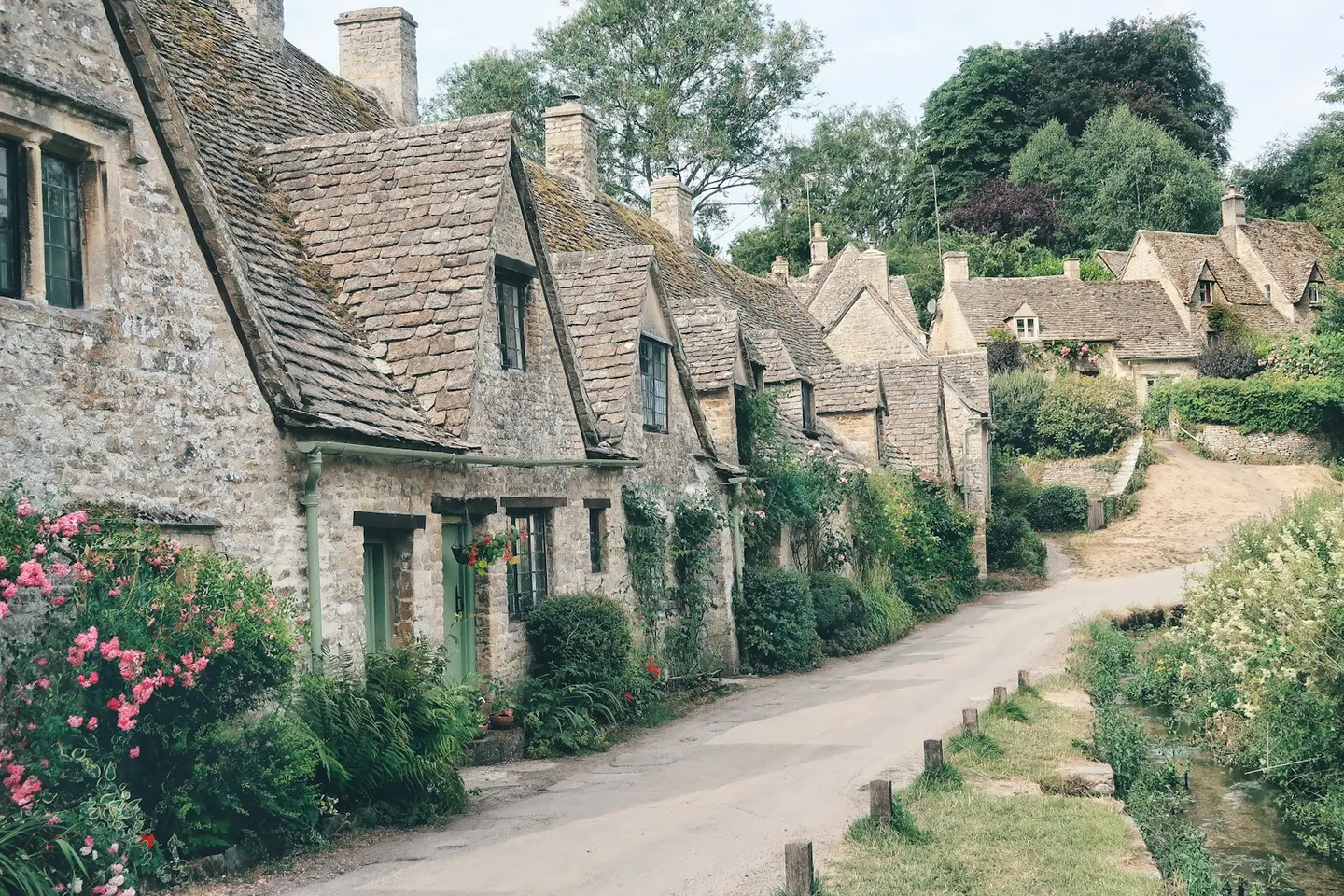
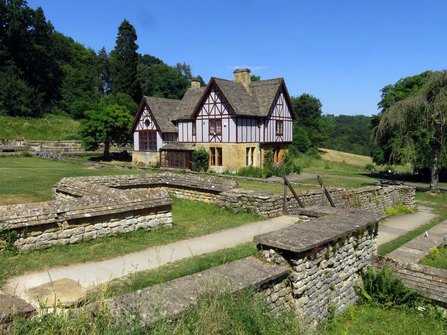
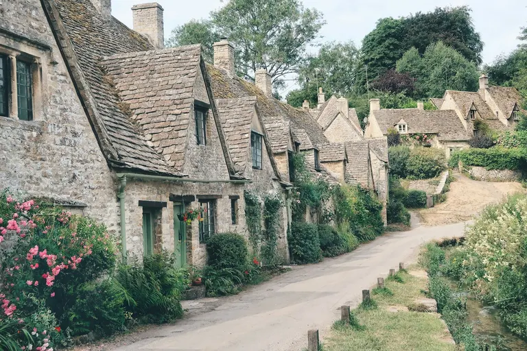
In the Coln valley, Bibury is best known for Arlington Row, a terrace of steep-roofed weavers' cottages owned by the National Trust. William Morris is said to have called Bibury the most beautiful village in England, and it draws more visitors than it can comfortably hold, so go early or midweek. A riverside footpath links Bibury with Coln St Aldwyns, and in a wooded side valley to the north, Chedworth Roman Villa keeps its fourth-century mosaics where they were laid. Cirencester, the Roman town of Corinium, sits just outside the boundary to the south-west.
What to see in Burford, Bibury and the Coln valley
- 1
Bibury VillageTop sight
Bibury is a Cotswold village on the River Coln, best known for one short terrace.
- 2
Barnsley House House & gardenHighlight
This was Rosemary Verey's own garden, made from the 1950s into one of the most influential of the late 20th century — a knot garden, a laburnum walk hung yellow in early summer, and the deep mixed borders she became known for.
- 3
Chedworth Roman villa Roman siteHighlight
One of the largest Romano-British villas known, Chedworth sits in a wooded side-valley of the Coln, uncovered by chance in 1864 and with the National Trust since 1924.
- 4
Burford VillageHighlight
Burford's wide high street runs downhill between honey-coloured houses to a narrow medieval bridge over the Windrush.
- 5
Minster Lovell VillageHighlight
A single street of thatched cottages runs down to the Windrush and the ruins of Minster Lovell Hall — the shell of a 15th-century manor beside the river, with a medieval dovecote still standing in the field alongside.
- 6
Northleach VillageHighlight
A small medieval wool town that stayed largely unspoilt, its streets and cottages gathered around the church of St Peter and St Paul — one of the finest of the Cotswold 'wool churches', paid for out of fleece money.
- 7
Swinbrook VillageHighlight
Swinbrook is a quiet hamlet of warm Cotswold stone on the Windrush.
- 8
Minster Lovell Hall House & garden
At the bottom of Minster Lovell, beside the River Windrush and the parish church, stand the ruins of the manor house William Lovell built around 1440.
- 9
St Peter and St Paul, Northleach Church
The wool trade paid for this church, and it shows: a tall Perpendicular tower and a carved south porch rise over Northleach.
- 10
St John the Baptist, Burford Church
In 1649 Cromwell locked several hundred mutinous Leveller soldiers in this church; three ringleaders were shot against the churchyard wall, and one prisoner scratched "Anthony Sedley 1649 Prisner" into the lead of the font, where it can still be read.
- 11
St Michael's Church, Duntisbourne Rouse Church
This tiny church sits on a slope above the little River Dunt, its Saxon nave patched with herringbone stonework and topped by a saddleback tower of 1587.
- 12
Chedworth Village
A straggling village spread along a wooded valley, best known for the Roman villa just north — among the largest found in Britain, now National Trust, with mosaic floors under cover.
- 13
Cerney House Gardens House & garden
A romantic walled garden above the Churn valley at North Cerney, best known for its snowdrops — more than a hundred varieties carpet the woodland walk through February.
- 14
Lodge Park House & garden
John 'Crump' Dutton built Lodge Park in 1634 as a grandstand for watching deer coursing and staging lavish entertaining — it's the only one of its kind to survive from the period.
All 39 places in Burford, Bibury and the Coln valley are in the list of every place below.
Area 6 of 8: steep wooded valleys, high commons and the edge above the Severn
Stroud and the Five Valleys
- 58 places to visit
- 4 villages
- 7 top sights and highlights
- 3 stations in or by the area
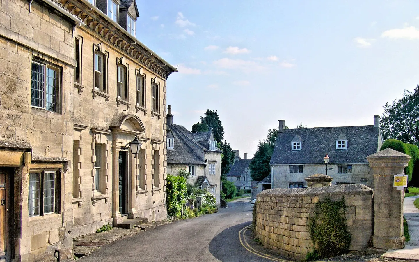
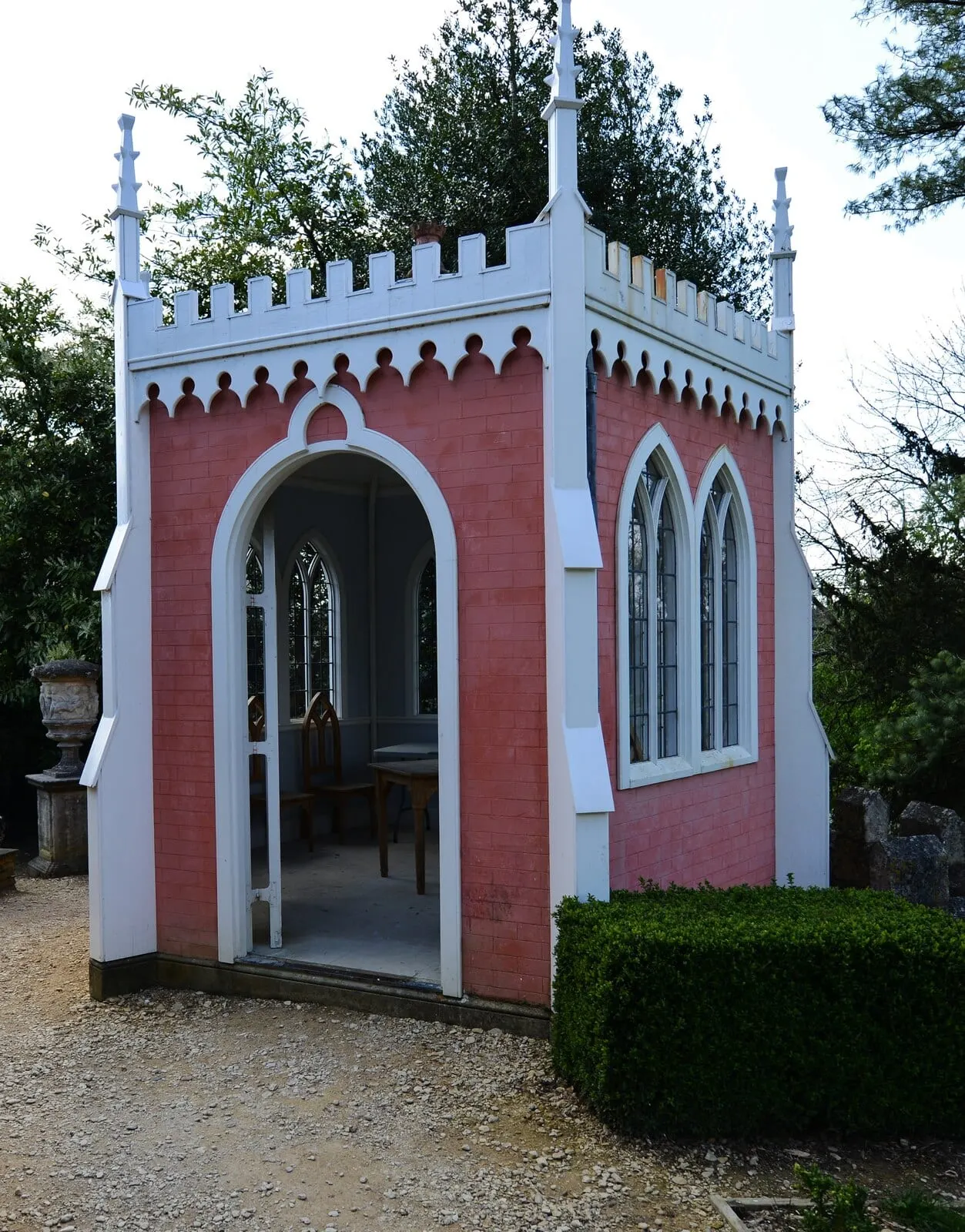
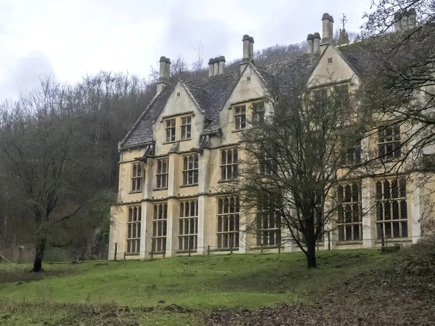
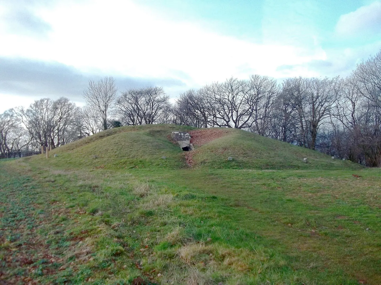
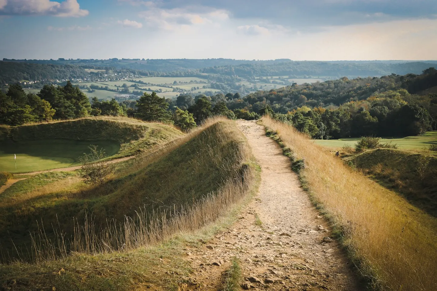
Stroud's Five Valleys are the steep, wooded valleys that meet at the town of Stroud, just outside the boundary: the Golden Valley at Chalford, and the Nailsworth, Ruscombe, Slad and Painswick valleys. High, open commons stand between them. Minchinhampton and Rodborough commons are grazed by commoners' cattle in summer, with early purple orchids in May and more than 30 kinds of butterfly.
Painswick, a hillside town of pale stone, is known for the clipped yews in its churchyard, traditionally counted at 99. Above it are the Painswick Rococo Garden, laid out in the 1740s in the playful, curving rococo style and the only complete garden of its kind left in England, and the Iron Age hillfort on Painswick Beacon. Over the hill, the Slad valley was Laurie Lee's childhood home and the setting of Cider with Rosie; his old local, the Woolpack, still stands on the valley side.
To the south-west the hills end in a high edge over the Severn Vale, with some of the oldest monuments in the Cotswolds along it: Hetty Pegler's Tump, a Neolithic chambered tomb you can look inside with a torch, and Uley Bury, one of the largest Iron Age hillforts in the Cotswolds. Woodchester Mansion, a Victorian Gothic house abandoned half-built, hides in a wooded valley below Nympsfield. East of Stroud, the Arts and Crafts designers Ernest Gimson and the Barnsley brothers had their workshops at Sapperton, close to the portal of the Sapperton Tunnel, the longest canal tunnel in the world when it opened in 1789.
What to see in Stroud and the Five Valleys
- 1
Painswick Beacon SightHighlight
An Iron Age hillfort tops the common above Painswick, its old ramparts now shared with a golf course and clumps of pine.
- 2
Sapperton Tunnel SightHighlight
When it opened in 1789, this was the longest canal tunnel in the world, carrying the Thames and Severn Canal nearly two miles beneath the hills.
- 3
Woodchester Mansion SightHighlight
The builders downed tools on this Victorian Gothic mansion in the 1870s and never came back, leaving it half-finished — grand from the outside, but with missing floors and bare rooms within, and masons' tools still where they were set down.
- 4
Uley Long Barrow Ancient siteHighlight
Hester Pegler owned the land here in the 1600s, and the barrow is still called Hetty Pegler's Tump after her.
- 5
Owlpen Manor House & gardenHighlight
Owlpen sits alone in a wooded fold of the Cotswolds east of Uley — a grey Tudor manor with a little church, facing terraces of clipped yews said to date in part from the 1720s.
- 6
Painswick Rococo Garden House & gardenHighlight
Come in February for the snowdrops — the hidden combe below Painswick House fills with one of the largest naturalistic plantings in the country.
- 7
Painswick VillageHighlight
The churchyard at Painswick is famous for its clipped yews — traditionally counted at ninety-nine, with a legend that a hundredth never survives.
- 8
Woodchester Park Nature reserve
Woodchester Park is a secluded wooded valley below Nympsfield, where the National Trust looks after a lost 18th- and 19th-century landscape park and its chain of five restored lakes.
- 9
Nympsfield Long Barrow Ancient site
The roof came off Nympsfield Long Barrow so long ago that today you can look straight down into its stone burial chambers instead of crawling in through a passage.
- 10
Windmill Tump Long Barrow Ancient site
Two standing stones topped by a stone lintel and sealed with a slab form a false entrance near the eastern tip of Windmill Tump Long Barrow, built to look like a doorway but leading nowhere.
- 11
Great Witcombe Roman Villa Roman site
Workers digging out an old tree stump here in 1818 uncovered the remains of Great Witcombe villa, one of the largest houses built in Roman Britain and one of a cluster of wealthy villas that once dotted this stretch of the Cotswolds.
- 12
Rodmarton Manor House & garden
Rodmarton Manor is an Arts and Crafts house near Cirencester, built for the Biddulph family by Ernest Barnsley and the Cotswold group of craftsmen between 1909 and 1929.
- 13
Miserden Park Gardens House & garden
The topiary yew walk at Miserden was designed by Edwin Lutyens, who also added a wing to the house.
- 14
Miserden Village
An estate village strung along a wooded ridge above the Golden Valley, with long views and a manor garden open to visitors in season.
All 58 places in Stroud and the Five Valleys are in the list of every place below.
Area 7 of 8: gentler, wooded country down to the By Brook and the Wiltshire border
Tetbury and the South Cotswolds
- 40 places to visit
- 6 villages
- 4 top sights and highlights
- No station in the area
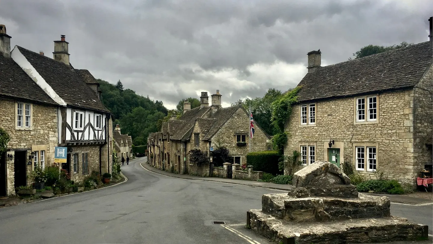
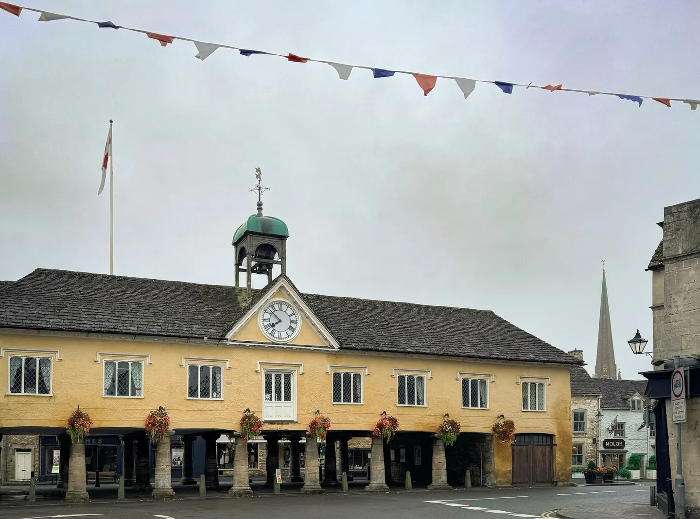
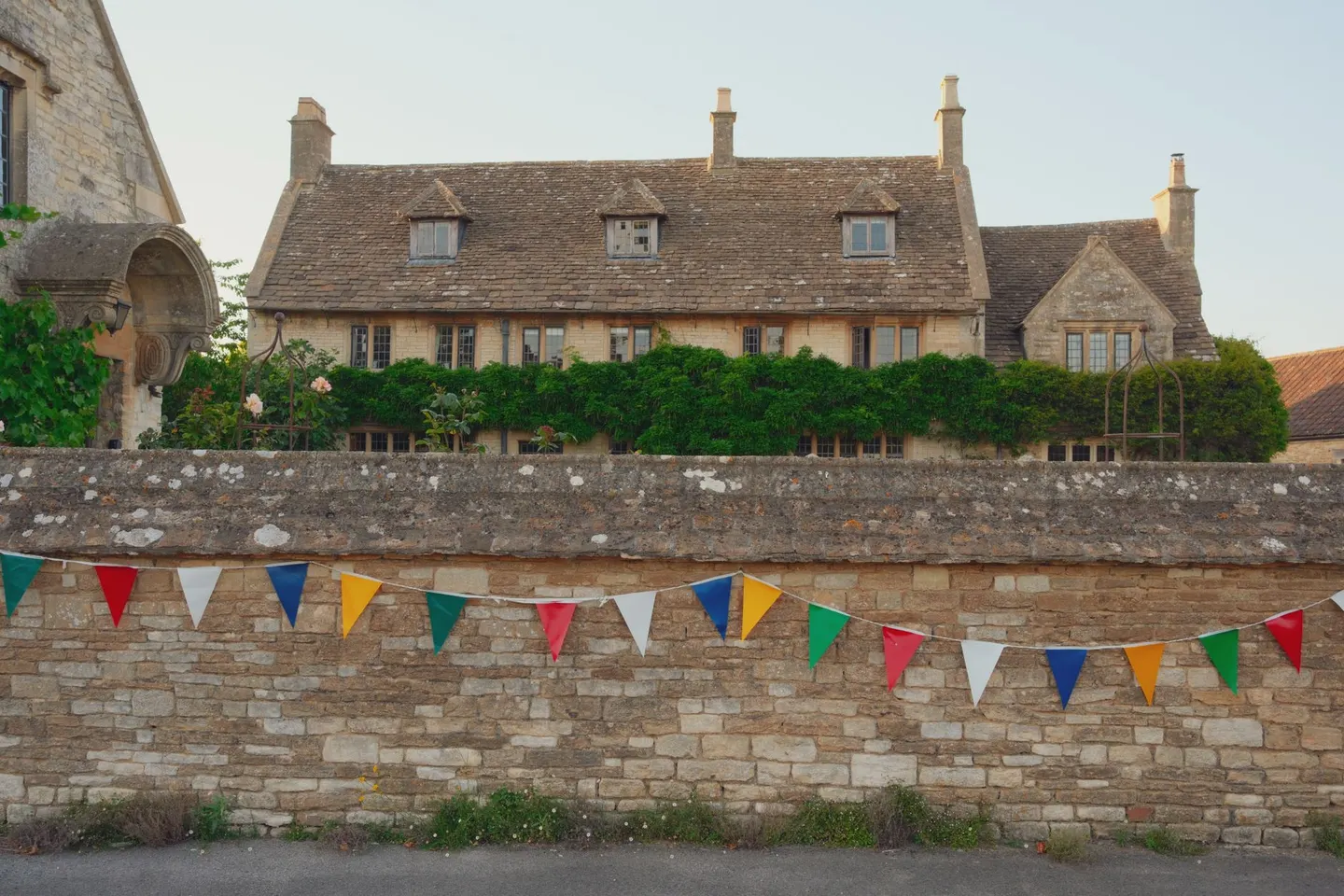
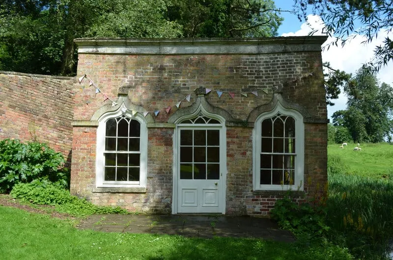
The South Cotswolds run from Tetbury down into north Wiltshire, gentler country than the north, where the hills drop into wooded valleys such as the By Brook's. Tetbury, a hilltop market town, centres on its Market House of 1655, raised on three rows of stone pillars, with antique shops in the lanes around it. Highgrove, the royal garden, is just outside the town and can be seen only on tours booked well ahead.
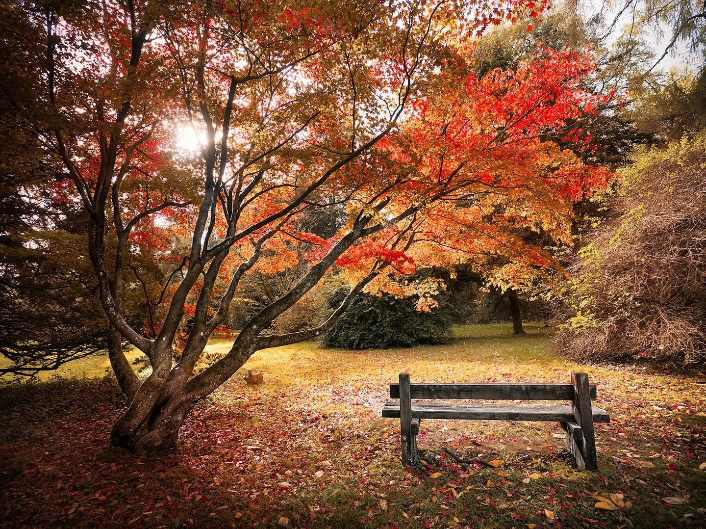
Westonbirt Arboretum, the national arboretum, spreads about 15,000 trees across 600 acres south-west of Tetbury. Robert Holford began the collection in 1829, Forestry England runs it now, and it's best known for its Japanese maples in autumn. Further south, the park of Badminton House holds the Badminton Horse Trials every May, started by the Duke of Beaufort in 1949.
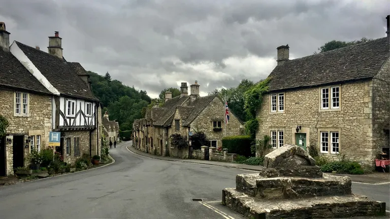
Castle Combe, in its valley above the By Brook, has been called England's prettiest village since a newspaper gave it the title in 1962: honey-stone cottages slope down to a packhorse bridge below a covered medieval market cross, and the crowds still come. Biddestone, a few miles east, keeps a broad green and duck pond ringed by stone cottages, and Slaughterford, a few cottages and a mill, hides further down the By Brook.
What to see in Tetbury and the South Cotswolds
- 1
Castle Combe VillageTop sight
Castle Combe has been called England's prettiest village since a newspaper gave it the title in 1962, and the crowds still come for it.
- 2
Westonbirt Arboretum House & gardenHighlight
The national arboretum spreads around 15,000 trees across 600 acres near Tetbury, a collection begun by the Victorian landowner Robert Holford in 1829 and now run by Forestry England.
- 3
Biddestone VillageHighlight
A broad green with a duck pond makes the centre of Biddestone, ringed by Cotswold-stone cottages, many of them Grade II listed.
- 4
Tetbury VillageHighlight
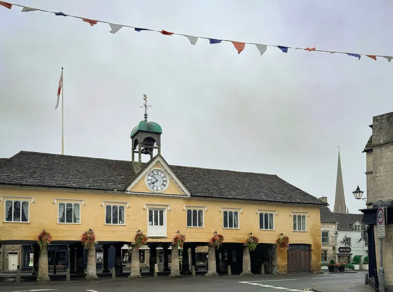
A hilltop market town whose centrepiece is the Market House of 1655, raised on three rows of stout stone pillars in the middle of the street.
- 5
Newark Park House & garden
Newark Park began as a Tudor hunting lodge, built around 1550 for Sir Nicholas Poyntz, a courtier of Henry VIII, and remodelled into a country house over later centuries.
- 6
Badminton House House & garden
Every May, Badminton House's park becomes the biggest date on the eventing calendar: the Duke of Beaufort set up the Badminton Horse Trials here in 1949, and it's run most years since.
- 7
Sherston Village
Sherston strings a broad high street of honey-coloured cottages along a ridge near the Gloucestershire border.
- 8
Stancombe Park House & garden
Purnell Bransby Purnell inherited Stancombe in 1805, aged fourteen, and spent the following decades filling its valley with tunnels, a grotto and a Doric temple by the lake — much of it built, by family account, by soldiers newly home from the Napoleonic wars.
- 9
Slaughterford Village
Slaughterford hides in the By Brook valley between Castle Combe and Box, a few Cotswold-stone cottages with a small church and a mill on the water.
All 40 places in Tetbury and the South Cotswolds are in the list of every place below.
Area 8 of 8: the hills that wrap round Bath, and the Avon valley below
Bath and the southern edge
- 38 places to visit
- 5 top sights and highlights
- 5 stations in or by the area
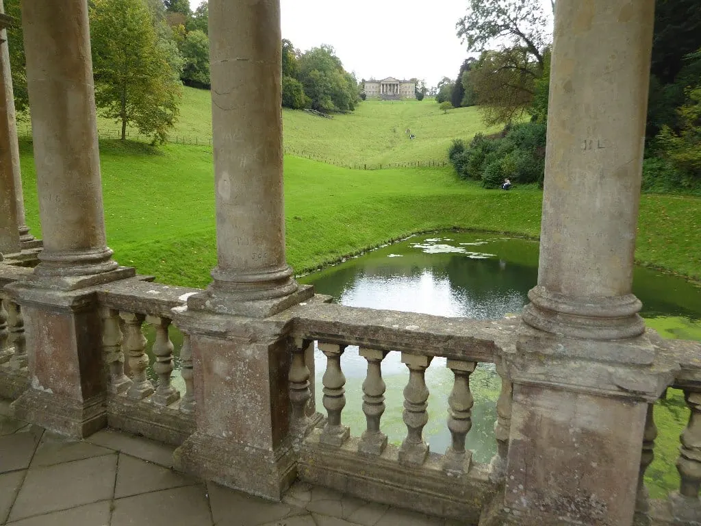
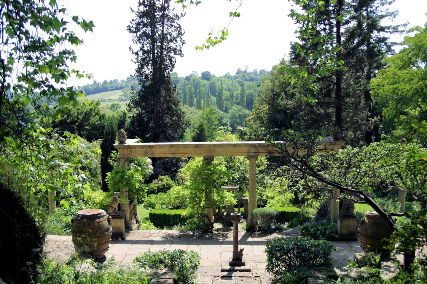
The southern end of the Cotswolds wraps round Bath. The city itself, a World Heritage Site in its entirety, is just outside the boundary, but the hills on three sides of it are inside. The National Trust's Bath Skyline walk is a 6-mile circuit through meadows and woods with views over the city, and Prior Park, the valley garden Ralph Allen laid out with advice from Alexander Pope and Capability Brown, looks back over Bath from its Palladian bridge of 1755.
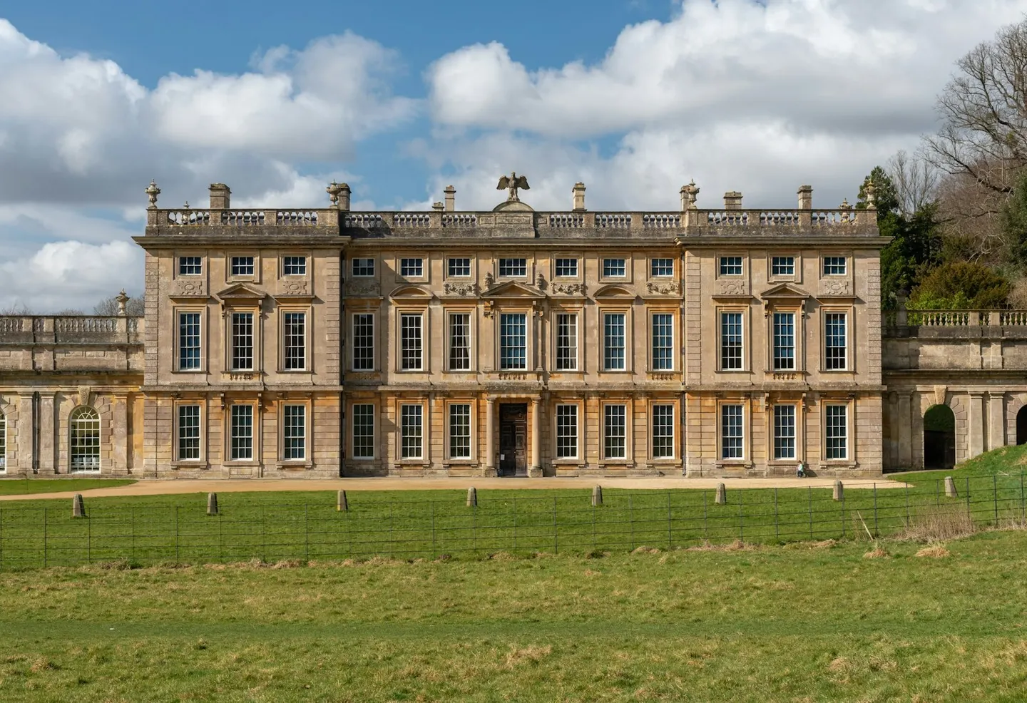
North of the city the hills end in a high edge at Lansdown, where Sir Bevil Grenville's Cornish pikemen stormed the Parliamentarian guns in 1643, and Little Solsbury Hill has an Iron Age hillfort on its flat top. Further north along the Cotswold Way, Dyrham Park, built between 1692 and 1704 for William Blathwayt, sits low in a fold of the slope, reached downhill through an ancient deer park.
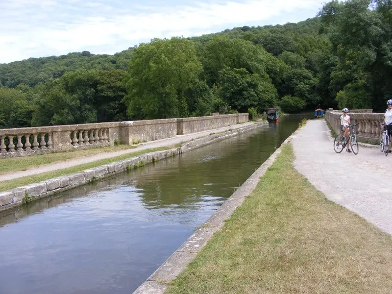
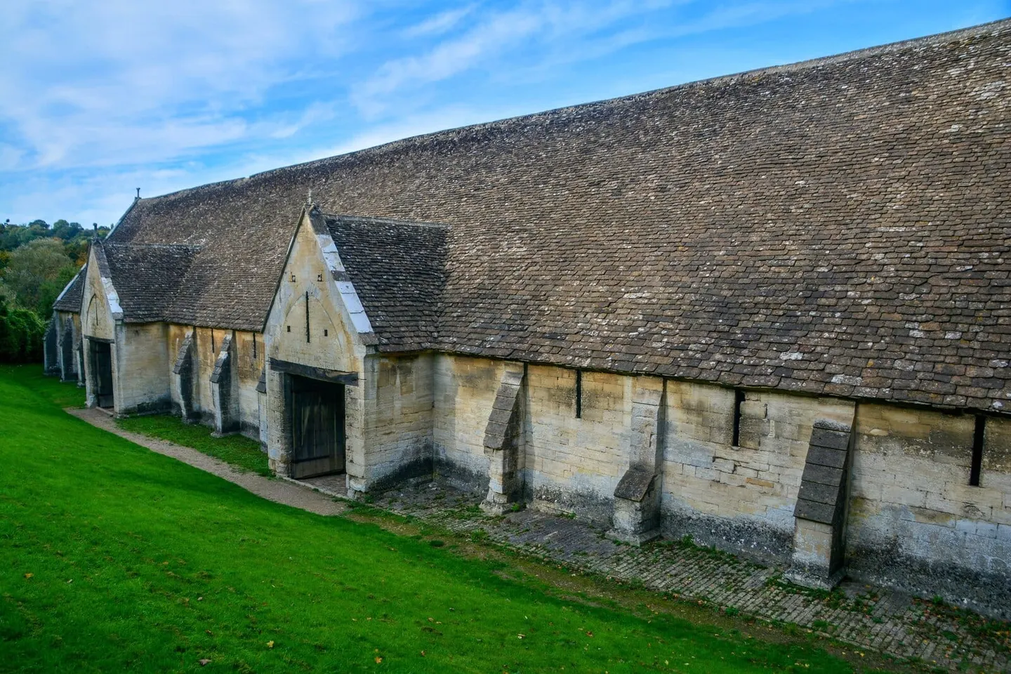
South-east of Bath the Avon cuts a deep valley, and the Kennet & Avon Canal crosses it on the Dundas Aqueduct, John Rennie's three arches of honey-coloured Bath stone, finished in 1805. Iford Manor, where Harold Peto made an Italian garden on a steep hillside from 1899, is about a mile from Avoncliff station, and at the edge of Bradford-on-Avon the 14th-century tithe barn, 51 metres long, is among the biggest medieval barns left in England.
What to see in Bath and the southern edge
- 1
Dundas Aqueduct SightHighlight
The Dundas Aqueduct carries the Kennet & Avon Canal across the valley of the Bristol Avon, a couple of miles south-east of Bath in Somerset.
- 2
Dyrham Park House & gardenHighlight
William Blathwayt was the kind of official who made himself indispensable — Secretary of State to William III, and handy in Dutch when Dutch was the language that mattered at court — and he spent the proceeds building Dyrham between 1692 and 1704, on the site of his wife's old Tudor family house.
- 3
Bradford on Avon Tithe Barn SightHighlight
Shaftesbury Abbey, a wealthy Dorset nunnery, built this barn in the 1330s to store tithes, the one-tenth share of a harvest owed to the church, from its farm at Barton on the edge of Bradford-on-Avon.
- 4
Iford Manor and the Peto Garden House & gardenHighlight
Harold Peto lived at Iford Manor from 1899 to 1933 and turned the steep hillside above the Frome into an Italian garden — terraces, columns, statuary and cypresses, with a colonnaded cloister he built to hold his collection of carved fragments.
- 5
Prior Park Landscape Garden House & gardenHighlight
One of only four Palladian bridges of its kind in the world spans the lake here, built in 1755.
- 6
Sir Bevil Grenville's Monument Sight
Sir Bevil Grenville's Cornish pikemen took three attempts to storm the Parliamentarian guns near the summit of Lansdown Hill on 5 July 1643, and Grenville suffered the wound that killed him in the struggle that followed their capture.
- 7
American Museum and Gardens House & garden
George Washington's garden at Mount Vernon has a period replica here, laid out in formal beds behind a white picket fence with a copy of his octagonal summerhouse.
- 8
Abbey Cemetery House & garden
Laid out by the noted cemetery designer John Claudius Loudon and consecrated in 1844, Abbey Cemetery climbs a steep hillside above Widcombe with wide views back over Bath.
- 9
Caisson Gardens House & garden
The Somerset Coal Canal once tried to climb this hill by a "caisson lock", an experiment that failed and was abandoned; its exact position has never been found.
- 10
Belcombe Court House & garden
On the edge of Bradford-on-Avon, Belcombe Court's Georgian garden was laid out in the Picturesque style with a grotto, a rotunda and a ruined temple, built in the same years as the more famous one at Stourhead.
All 38 places in Bath and the southern edge are in the list of every place below.
Best villages in the Cotswolds
The villages the Albion Guide rates highest, best first, with the nearest station where one is within 3 km
Bibury
Burford, Bibury and the Coln valley
Bibury is a Cotswold village on the River Coln, best known for one short terrace.
Top sight
Castle Combe
Tetbury and the South Cotswolds
Castle Combe has been called England's prettiest village since a newspaper gave it the title in 1962, and the crowds still come for it.
Top sight
Bourton-on-the-Water
Stow, Bourton and the Slaughters
Bourton-on-the-Water, a Cotswold village, has low, wide stone bridges stepping across the shallow Windrush as it runs through a long central green — the reason it's called the 'Venice of the Cotswolds'.
Top sight
Stow-on-the-Wold
Stow, Bourton and the Slaughters
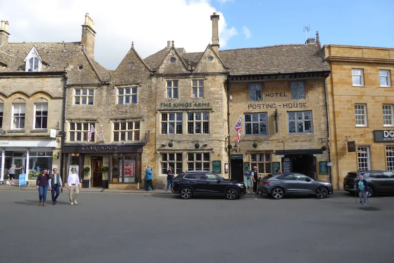
Stow is the highest of the Cotswold market towns, at around 800 feet — hence the old line 'Stow-on-the-Wold, where the wind blows cold'.
Highlight
Biddestone
Tetbury and the South Cotswolds
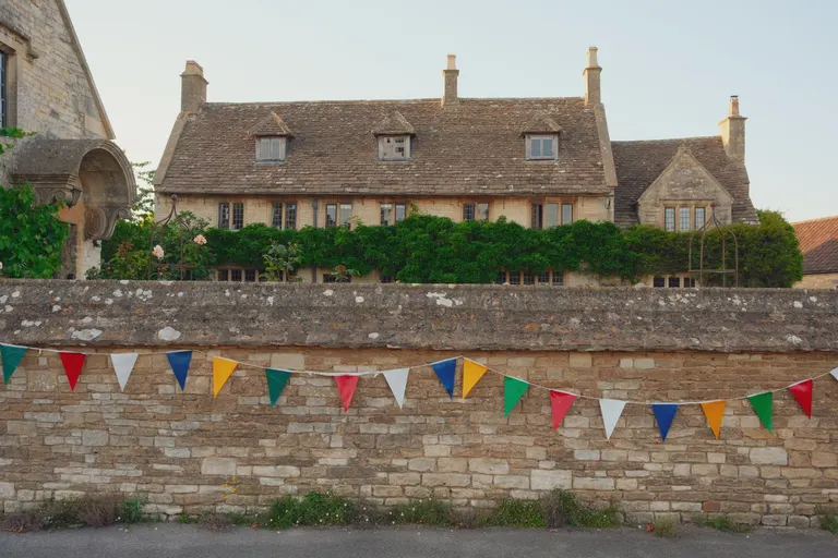
A broad green with a duck pond makes the centre of Biddestone, ringed by Cotswold-stone cottages, many of them Grade II listed.
Highlight
Chipping Campden
Chipping Campden's High Street curves for the best part of a mile, lined with golden stone houses that grew rich on medieval wool.
HighlightOn the Cotswold Way
Lower Slaughter
Stow, Bourton and the Slaughters
Honey-coloured cottages line both banks of the little River Eye here, linked by low footbridges, with an old red-brick water mill at one end still turning its wheel.
Highlight
Tetbury
Tetbury and the South Cotswolds
A hilltop market town whose centrepiece is the Market House of 1655, raised on three rows of stout stone pillars in the middle of the street.
Highlight
Upper Slaughter
Stow, Bourton and the Slaughters
Upper Slaughter is one of England's few 'doubly thankful' villages — every one of its servicemen came home from both world wars, so it has no war memorial.
Highlight
Blockley
Blockley made its money from silk — six mills once ran off the fast brook that still cuts through the village, all closed by the 1880s.
Highlight
Burford
Burford, Bibury and the Coln valley
Burford's wide high street runs downhill between honey-coloured houses to a narrow medieval bridge over the Windrush.
Highlight
Elmley Castle
Winchcombe and the Cheltenham edge
A wide street lined with horse chestnuts runs up through Elmley Castle to the church and the foot of Bredon Hill.
Highlight
Ilmington
Ilmington gathers honey stone and black-and-white cottages around a green at the foot of the Cotswold scarp.
Highlight
Kingham
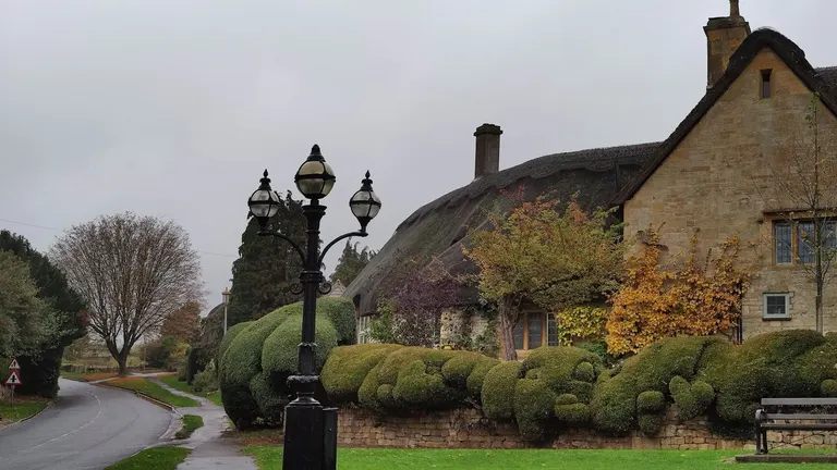
Country Life named Kingham England's favourite village back in 2004, and the Evenlode-valley village has traded on it happily since.
Highlight Kingham station, 1.6 km
Minster Lovell
Burford, Bibury and the Coln valley
A single street of thatched cottages runs down to the Windrush and the ruins of Minster Lovell Hall — the shell of a 15th-century manor beside the river, with a medieval dovecote still standing in the field alongside.
Highlight
Northleach
Burford, Bibury and the Coln valley
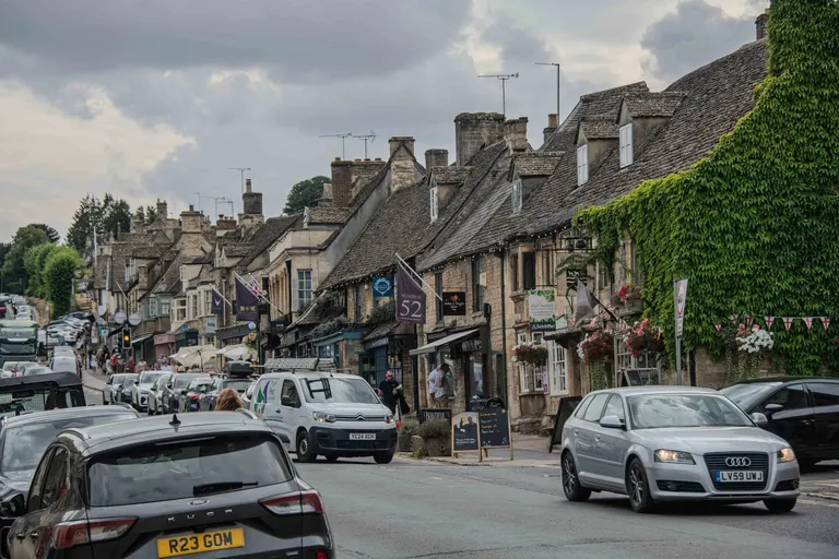
A small medieval wool town that stayed largely unspoilt, its streets and cottages gathered around the church of St Peter and St Paul — one of the finest of the Cotswold 'wool churches', paid for out of fleece money.
Highlight
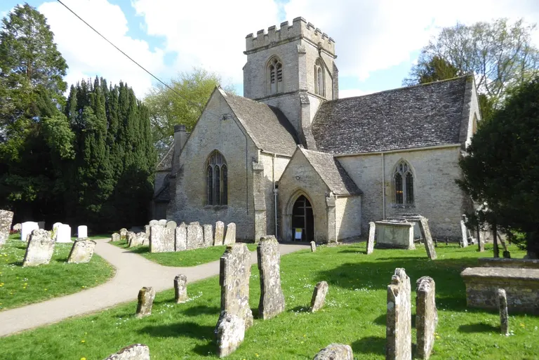
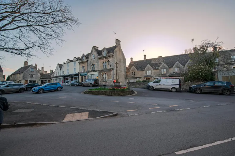


More villages in the Cotswolds
- Painswick Stroud and the Five Valleys
- Snowshill Chipping Campden and Broadway
- Stanton Chipping Campden and Broadway
- Stanway Chipping Campden and Broadway
- Swinbrook Burford, Bibury and the Coln valley
- Winchcombe Winchcombe and the Cheltenham edge
- Moreton-in-Marsh Stow, Bourton and the Slaughters, 500 m from Moreton-in-Marsh station
- Ebrington Chipping Campden and Broadway
- Guiting Power Stow, Bourton and the Slaughters
- Sherston Tetbury and the South Cotswolds
- Shipton-under-Wychwood Chipping Norton and Wychwood, 850 m from Shipton station (few trains)
- Chedworth Burford, Bibury and the Coln valley
- Miserden Stroud and the Five Valleys
- Bisley Stroud and the Five Valleys
- Bledington Stow, Bourton and the Slaughters, 1.2 km from Kingham station
- Bourton-on-the-Hill Stow, Bourton and the Slaughters
- Brailes Chipping Norton and Wychwood
- Charlbury Chipping Norton and Wychwood, 100 m from Charlbury station
- Coln St Aldwyns Burford, Bibury and the Coln valley
- Long Compton Chipping Norton and Wychwood
- Naunton Stow, Bourton and the Slaughters
- Sapperton Stroud and the Five Valleys
- Slaughterford Tetbury and the South Cotswolds
- Whichford Chipping Norton and Wychwood
- Ascott-under-Wychwood Chipping Norton and Wychwood, 100 m from Ascott-under-Wychwood station (few trains)
- Grittleton Tetbury and the South Cotswolds
- Asthall Burford, Bibury and the Coln valley
- Little Comberton Winchcombe and the Cheltenham edge
Cotswolds itineraries
A long weekend in the north, three days by train, and a week across the whole range
A long weekend in the north Cotswolds
Three days round Chipping Campden, Broadway and Stow, easiest by car
- Day 1Chipping Campden, then the Cotswold Way to Broadway TowerWalk the first stretch of the national trail over Dover's Hill and Broadway Hill, then down into Broadway.
- Day 2Hidcote, Kiftsgate and Snowshill ManorThe two gardens face each other across a lane; end the day at Stanton and Stanway under the edge.
- Day 3Stow, the Slaughters and Bourton-on-the-WaterWalk the mile between Lower and Upper Slaughter, and reach Bourton early, before the crowds.
Three days without a car
By train from London or Oxford, with the buses that link the stations
- Day 1Moreton-in-Marsh, Batsford and StowBatsford Arboretum is about 2 km from Moreton-in-Marsh station; the Pulhams 801 bus goes on to Stow and Bourton-on-the-Water.
- Day 2Kingham and CharlburyKingham station is about a mile from the village; Charlbury station is in the town. Both are on the Cotswold Line.
- Day 3Stroud, Painswick and the Slad valleyStroud station is on the Swindon to Gloucester line; Stagecoach's 66 bus climbs to Painswick and its Rococo Garden.
A week across the Cotswolds
North to south, from Chipping Campden to Bath, with a car
- Days 1–2Chipping Campden, Broadway and the gardensBroadway Tower, Hidcote, Kiftsgate and Snowshill.
- Day 3Stow, the Slaughters and Chastleton
- Day 4Winchcombe: Sudeley, Belas Knap and Cleeve Hill
- Day 5Northleach, Chedworth, Bibury and Burford
- Day 6Painswick, Slad and the Stroud commons
- Day 7Tetbury, Westonbirt and Castle Combe, ending at BathBath Spa station has trains back to London Paddington in about an hour and a half.
The Cotswolds National Landscape Board says plainly that buses are limited and poorly joined up, so most visitors drive. Two railway lines reach the hills: the Cotswold Line from Oxford through Charlbury, Kingham and Moreton-in-Marsh in the north, and the line from Swindon through Kemble, Stroud and Stonehouse to Gloucester in the south-west, with Bath Spa at the southern tip. Great Western Railway's Cotswolds Discoverer ticket covers a day's travel on both lines and on Stagecoach West's buses (not before 08:50 on weekdays).
The best-known villages get very busy in summer and at weekends: Bibury, Bourton-on-the-Water, Castle Combe, Broadway and Stow. A July count found more than 4,500 vehicles a day crossing Bibury's Swan Bridge, and Gloucestershire County Council has brought in new parking and coach rules there. Arrive early or late, come midweek, or pick a quieter village from the lists below.
Walks in the Cotswolds
The long-distance paths through the Cotswolds, with how much of each is inside the boundary
Cotswold Way
97 miles inside the Cotswolds, nearly all of its 102National Trail
For 102 miles (164 km) the Cotswold Way follows the escarpment of the Cotswolds, the steep western edge where the limestone hills drop to the Severn Vale.
Macmillan Way
85 miles inside the Cotswolds of its 290
The Macmillan Way is one of the longest of England's regional trails, running 290 miles from Boston in Lincolnshire to Abbotsbury on the Dorset coast.
Monarch's Way
81 miles inside the Cotswolds of its 625
The Monarch's Way is one of the longest waymarked footpaths in England, running 625 miles from Worcester to Shoreham-by-Sea on the Sussex coast.
Diamond Way
59 miles inside the Cotswolds, nearly all of its 65
The Diamond Way is a circular walk of about 65 miles through the northern Cotswolds, laid out in the rough shape of a diamond and beginning and ending at Moreton-in-Marsh in Gloucestershire.
Gloucestershire Way
51 miles inside the Cotswolds of its 94
The Gloucestershire Way runs 94 miles across the county from Chepstow, on the Welsh side of the Wye, to Tewkesbury at the meeting of the Severn and the Avon.
Winchcombe Way
38 miles inside the Cotswolds, nearly all of its 42
The Winchcombe Way is a 42-mile figure-of-eight centred on the small town of Winchcombe in Gloucestershire.
Wysis Way
26 miles inside the Cotswolds of its 55
The Wysis Way runs 55 miles from Monmouth to Kemble, and its job is to join the ends of two national trails: it leaves the Offa's Dyke Path at the River Wye and delivers walkers to the Thames Path at the river's source near Kemble.
Oxfordshire Way
22 miles inside the Cotswolds of its 67
The Oxfordshire Way runs about 68 miles from Bourton-on-the-Water in Gloucestershire to Henley-on-Thames, crossing the county from one edge to the other.
Heart of England Way
21 miles inside the Cotswolds of its 104
The Heart of England Way is a 104-mile trail across the Midlands, from Milford Common on Cannock Chase in Staffordshire to Bourton-on-the-Water in the Cotswolds.
Limestone Link
12 miles inside the Cotswolds of its 36
The Limestone Link runs 36 miles between two bands of limestone hill, connecting the Cotswold Way at Cold Ashton, north of Bath, to the Mendip Way at Shipham on the southern side of the county.
Wychavon Way
7 miles inside the Cotswolds of its 40
The Wychavon Way runs forty miles (64 km) across Worcestershire, from the old salt town of Droitwich Spa in the north to Broadway at the foot of the Cotswold escarpment.
Hills in the Albion Guide: Cleeve Hill (330 m), Ebrington Hill (261 m) and Hanging Hill (237 m).
When to visit the Cotswolds
What's on in the Cotswolds through the year: nature and the annual events
Through the seasons
- Snowdrops Jan–Feb
- Snowdrops carpet the hidden valley below Painswick Rococo Garden, one of the largest naturalistic plantings in the country, and Cerney House Gardens has more than a hundred varieties in its woodland. Colesbourne Park near Cheltenham opens for them on February weekends.
- Lambing Feb–Apr
- Adam Henson's Cotswold Farm Park near Guiting Power, a rare-breeds farm with Cotswold sheep among its flocks, runs lambing from about mid-February to Easter.
- Bluebells and wild garlic Apr–May
- The beechwoods along the escarpment, such as Cranham and Buckholt Wood in the Cotswold Commons and Beechwoods National Nature Reserve, fill with bluebells and wild garlic from mid-April.
- Orchids and butterflies May–Jul
- Rodborough Common has 13 kinds of orchid, with early purples in May, and the Cheltenham Escarpment on Leckhampton Hill has musk and fly orchids and the rare Duke of Burgundy butterfly.
- Lavender Jun–Aug
- Cotswold Lavender at Snowshill opens its fields from mid-June to early August, at their best in July.
- Autumn colour Oct–Nov
- Westonbirt Arboretum turns from late September, and its Japanese maples peak through October into mid-November.
Events in the Cotswolds
Early May, Wednesday to Sunday · Badminton
One of the great events of the eventing year, held in the park of Badminton House since 1949.
Usually on Ascension Day, in May or early June · Bisley
Local schoolchildren dress the seven spouts of the Bisley Wells with flowers, a custom revived in 1863 when the vicar, Thomas Keble, restored the wells.
Always on the late May bank holiday Monday · Cooper's Hill
With no organiser willing to draw up a safety plan, the local council has called it unsafe in recent years, and every spring bank holiday Monday people turn up anyway to chase an eight-pound wheel of Double Gloucester down a slope so steep it's really more falling than running.
Usually on the Saturday after the first Sunday in May · Randwick
On the first Sunday in May, three Double Gloucester cheeses, a hard orange cow's-milk cheese, are blessed at a Randwick church service, then rolled anti-clockwise round the churchyard, one cut up and eaten there and then.
Always on the late May bank holiday Monday · Tetbury
Racers run Gumstool Hill's steep slope between the Royal Oak and the Crown carrying a woolsack on one shoulder — 60lb for the men, 30lb for the women, lighter for younger racers.
Robert Dover's Cotswold Olimpick Games
Always on the Friday after the late May bank holiday · Dover's Hill
Robert Dover, a lawyer, started these games in 1612, hoping sport might bring rich and poor together.
Always on the August bank holiday Monday · Bourton-on-the-Water
Bourton Rovers players split into two teams and play a full football match ankle-deep in the River Windrush, which runs through the village, every August bank holiday Monday.
Usually on the first Saturday of September · Batsford, Moreton-in-Marsh
One of the largest one-day agricultural shows in the country, held on the Batsford estate.
Painswick Clypping (and Puppy Dog Pie)
Always on the first Sunday on or after 19 September · Painswick
Hand in hand, the congregation rings St Mary's completely and sings a hymn while 'clypping' the church, an old word for embracing.
Marshfield Paper Boys (mummers)
Always on Boxing Day · Marshfield
Dressed head to foot in strips of coloured paper so no one can tell who's underneath, the Old Time Paper Boys perform their play several times through Marshfield on Boxing Day morning, from the Market Place to the Almshouses.
Dates for this year and next: the calendar.
Cotswolds interactive map
The boundary, every village and the top sights and highlights. Zoom in for the rest
Places to visit in the Cotswolds
All 338 places in the Albion Guide inside the boundary, best first
Cotswolds FAQs
Is the Cotswolds a national park?
No. The Cotswolds is a National Landscape, protected for its natural beauty and with the same landscape status as a national park, but it has no national park authority: planning stays with the local councils. The Cotswolds National Landscape Board, set up by Parliament in 2004, has a duty to conserve the landscape and help people enjoy it.
Which counties are the Cotswolds in?
Six: Gloucestershire, which has about 70 per cent of the area, Oxfordshire (12 per cent), Wiltshire (7), Warwickshire (5), Somerset around Bath (4) and Worcestershire (2). Fifteen local councils share it.
How big are the Cotswolds?
The National Landscape covers 787 square miles (2,038 km²). It is the largest National Landscape in England and Wales and the third-largest protected landscape in England, after the Lake District and Yorkshire Dales national parks.
What is the highest point in the Cotswolds?
Cleeve Hill, 330 metres, on Cleeve Common above Cheltenham. It is also the highest point on the Cotswold Way. The second-highest is Broadway Hill, under Broadway Tower.
Why is Cotswold stone yellow?
Iron oxide in the limestone. The more iron the stone holds, the more golden it is, so the colour runs from creamy white and grey to deep golden ochre. The stone of the north Cotswolds is the most golden; around Northleach and Painswick it is greyer.
Can you visit the Cotswolds without a car?
Yes, with some planning. Trains reach the edges of the hills: the Cotswold Line to Charlbury, Kingham and Moreton-in-Marsh, the line from Swindon to Kemble, Stroud and Stonehouse, and Bath Spa and Cheltenham Spa. Buses such as the Pulhams 801 and Stagecoach's 51, S2 and 66 link the towns, and Great Western Railway's Cotswolds Discoverer ticket covers a day on the trains and Stagecoach buses. The Cotswolds National Landscape Board admits that public transport is limited, and most visitors drive.
What is the prettiest village in the Cotswolds?
There's no official answer. William Morris is said to have called Bibury the most beautiful village in England, and Castle Combe has been called England's prettiest since a newspaper gave it the title in 1962. Both are crowded in summer. Quieter villages that the Albion Guide rates highly include Stanton, Upper Slaughter and Swinbrook.
When is the best time to visit the Cotswolds?
Late spring and early summer, for bluebells in the beechwoods and orchids on the commons; July for lavender; October into mid-November for autumn colour at Westonbirt; February for snowdrops. Winter gives the clearest views from the escarpment. Avoid summer weekends and bank holidays in the busiest villages.
How many days do you need in the Cotswolds?
Two or three days are enough for one area, such as the north Cotswolds round Chipping Campden, Broadway and Stow. A week lets you travel the length of the hills from Chipping Campden to Bath. Walking the whole Cotswold Way takes most people 7 to 10 days.
Where does the name Cotswolds come from?
Nobody knows for certain. The popular story joins "cote", a sheep shelter, and "wold", upland. Place-name scholars prefer "Cod's wold", the high open land of a man called Cod, from 12th-century spellings such as Codesuualt.
Is Bath in the Cotswolds?
Just outside. The city of Bath, a World Heritage Site in its entirety, sits outside the boundary, but the National Landscape wraps round it, and the hills on its edge, such as the Bath Skyline, Lansdown and Little Solsbury Hill, are inside. The Cotswold Way finishes at Bath Abbey.
Is Cheltenham in the Cotswolds?
The town itself is just outside the boundary, at the foot of the escarpment. The hills above it are inside: Cleeve Hill, Leckhampton Hill and Crickley Hill. Cheltenham is the main bus hub for the north Cotswolds.
What is the Cotswold Way?
A National Trail of 102 miles (164 km) from Chipping Campden to Bath, following the escarpment along the west side of the hills. It became a National Trail in 2007, is waymarked with an acorn, and takes most walkers 7 to 10 days. The Cotswold Way has its own page.
Practical information
Train stations in and near the Cotswolds
- Ascott-under-Wychwoodinside the boundary · area 4 · few trains
- Avoncliffinside the boundary · area 8
- Charlburyinside the boundary · area 4
- Combeinside the boundary · area 4 · few trains
- Finstockinside the boundary · area 4 · few trains
- Freshfordinside the boundary · area 8
- Kinghaminside the boundary · area 4
- Shiptoninside the boundary · area 4 · few trains
- Moreton-in-Marshon the boundary · area 2
- Hanboroughon the boundary · area 4
- Bradford-on-Avonon the boundary · area 8
- Stonehouseon the boundary · area 6
- Stroud0.4 km outside · area 6
- Bath Spa0.5 km outside · area 8
- Kemble1.1 km outside · area 6
- Oldfield Park1.7 km outside · area 8
- Cam & Dursley2.6 km outside · area 6
- Cheltenham Spa2.8 km outside · area 3
- Ashchurch for Tewkesbury3.1 km outside · area 3
- Keynsham3.3 km outside · area 8
- Trowbridge3.6 km outside · area 8
- Honeybourne3.7 km outside · area 1
- Gloucester4.5 km outside · area 6
- Pershore4.8 km outside · area 3
- Yate4.9 km outside · area 8
- Chippenham5.2 km outside · area 7
- Evesham5.4 km outside · area 3
Combe, Finstock, Ascott-under-Wychwood and Shipton are request stops with only a few trains a day. Kingham, Charlbury and Moreton-in-Marsh are the useful Cotswold Line stations; Moreton-in-Marsh is about an hour and a half from London Paddington.
Buses
The Pulhams 801 runs from Cheltenham through Bourton-on-the-Water, Stow-on-the-Wold and Moreton-in-Marsh to Chipping Norton. From Cheltenham, Stagecoach West runs the 51 to Cirencester and Swindon, the S2 to Northleach, Burford, Witney and Oxford, the 66 to Painswick and Stroud, and the W to Winchcombe. Evening and Sunday services are thin; check times on Traveline South West before you set out.
Walking with a warden
The Cotswold Voluntary Wardens, about 400 volunteers founded in 1968, look after paths and dry-stone walls and lead a programme of guided walks across the Cotswolds, listed on the Cotswolds National Landscape website.
Where to stay
Moreton-in-Marsh, Kingham and Charlbury have stations; Chipping Campden, Stow-on-the-Wold and Burford are central for the north and middle of the hills; Stroud, Cirencester, Cheltenham and Bath, all just outside the boundary, have the most choice. YHA has hostels in Cirencester (YHA Cotswolds) and Bath.
Busy villages
Bibury, Bourton-on-the-Water, Castle Combe, Broadway and Stow are the busiest. Castle Combe has no visitor parking in the village itself, only a car park at the top of the hill. Come early, late or midweek.