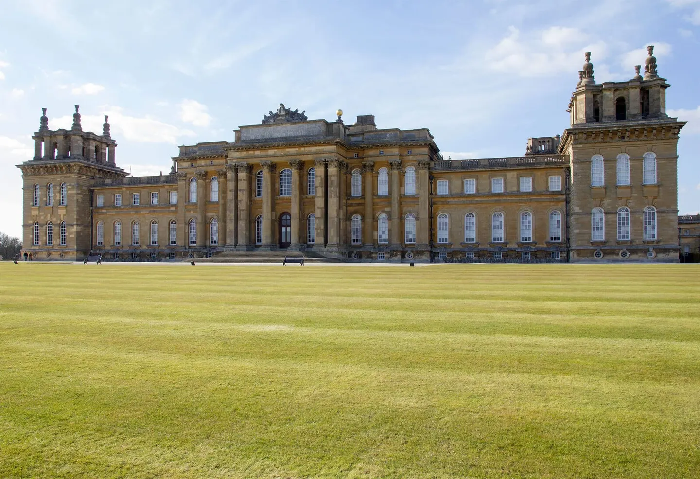
Places to explore near Finstock StationFinstock
Finstock Station sits inside the Cotswolds National Landscape. 62 places within 10 km — the standouts first, nearest first within each group. 1 is a national icon.
Worth the tripnational icons and local highlights within reach
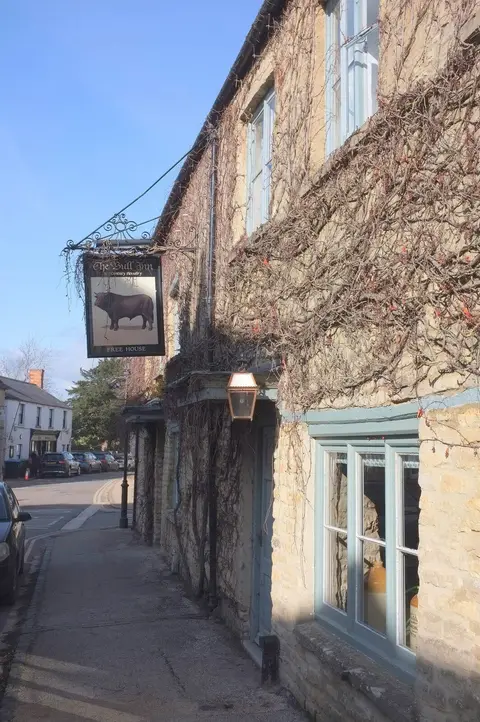

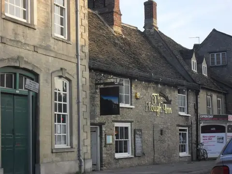
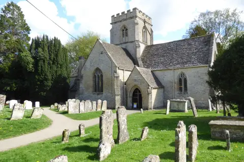
Also nearbygood places nearby, nearest first
Everything else within 10 km (47) — reserves, earthworks & places to check before travelling
- The Killingworth CastlePub7.8 km NE
- South Leigh SitesNature reserve8.4 km S
- St James the Great, South LeighChurch8.7 km S
- The Shaven CrownPub8.8 km W
- Shipton-under-WychwoodVillage8.8 km W
- Mr Hanbury's Masons ArmsGastropub9.3 km S
- Fawler Roman villaRoman archaeological siteaccess unclear0.7 km SE
- Reed HillSSSIaccess unclear0.8 km E
- Oaklands Farm Roman villaRoman archaeological siteaccess unclear1.4 km SE
- WychwoodNational Nature Reserve2 km W
- Cornbury ParkHouse & gardenaccess unclear2 km NW
- Stonesfield Slate MinesSSSIaccess unclear2 km E
- Stonesfield Common, Bottoms & BanksSSSI2.2 km E
- Cornbury Park Roman campsRoman archaeological siteaccess unclear2.3 km NW
- Ditchley Road QuarrySSSIaccess unclear2.4 km N
- Holly Court BankSSSIaccess unclear2.7 km SE
- Salt Way, DitchleySSSIaccess unclear2.8 km NE
- Whitehill WoodSSSIaccess unclear2.9 km SE
- Stonesfield Roman villaRoman archaeological siteaccess unclear3.3 km E
- North Leigh Roman VillaRoman archaeological site3.6 km SE
- Sturt CopseSSSIaccess unclear3.6 km SE
- Ditchley Park Roman villaRoman archaeological siteaccess unclear4.3 km NE
- Ditchley ParkHouse & gardenaccess unclear4.6 km NE
- Callow Hill Roman villaRoman archaeological siteaccess unclear4.8 km NE
- Taston standing stoneStanding stoneaccess unclear4.9 km N
- Out WoodSSSIaccess unclear5.2 km NE
- Leafield BarrowEarthworks of a former castleaccess unclear5.4 km W
- Long Hanborough Gravel PitSSSIaccess unclear6.1 km SE
- Hoar StoneChambered tombaccess unclear6.6 km N
- Ascott d'Oyley motte and baileyEarthworks of a former castleaccess unclear6.7 km W
- Ascott-under-WychwoodVillage6.7 km W
- Hawk StoneStanding stoneaccess unclear6.8 km NW
- Ascott Earl motteEarthworks of a former castleaccess unclear7.1 km W
- Knollbury campHillfortaccess unclear7.6 km NW
- Glyme ValleySSSIaccess unclear7.6 km N
- Moated manor, priory, settlementPrioryaccess unclear7.7 km S
- Sheep's BanksSSSIaccess unclear8.3 km NE
- The Japanese Garden at the New HouseHouse & gardenaccess unclear8.6 km W
- Gagingwell CrossAbbeyaccess unclear8.9 km NE
- Blenheim VillaRoman archaeological siteaccess unclear9 km E
- Sarsgrove WoodSSSIaccess unclear9.1 km NW
- Heythrop ParkHouse & gardenaccess unclear9.4 km N
- Ducklington MeadSSSIaccess unclear9.4 km S
- Bladon campHillfortaccess unclear9.6 km E
- Worsham LaneSSSIaccess unclear9.6 km SW
- Sarsden HouseHouse & gardenaccess unclear9.8 km NW
- AsthallVillage9.8 km SW
Ordered by how far each place is worth travelling for, then by distance. Distances are straight-line to the nearest edge of each place — paths wind, of course.