Forty miles of Worcestershire field paths from Droitwich Spa to Broadway, over Bredon Hill to the edge of the Cotswolds
Indicative — sampled from open terrain data along the simplified route.
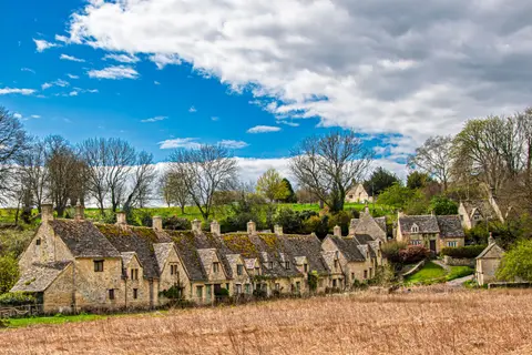
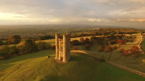
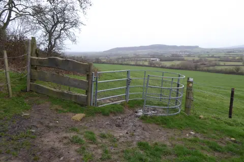
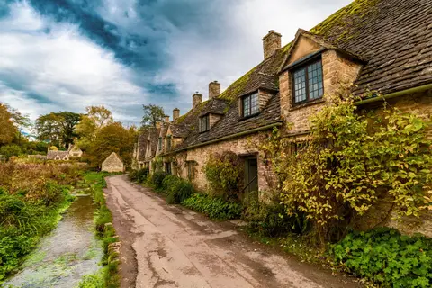
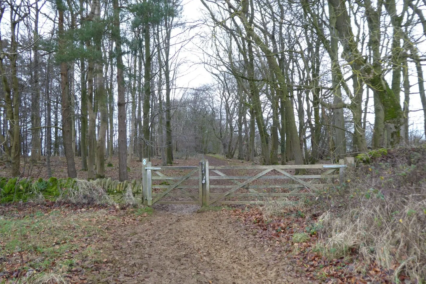
The Wychavon Way runs forty miles (64 km) across Worcestershire, from the old salt town of Droitwich Spa in the north to Broadway at the foot of the Cotswold escarpment. It is a walk of meadow, orchard and farmland rather than a hill route, waymarked throughout and usually done in three days, though it stays close enough to villages to break into shorter sections.
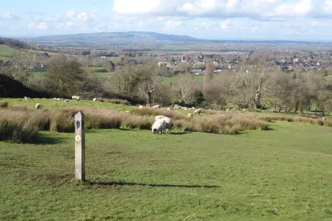
From Droitwich the way heads south into the Vale of Evesham, the market-garden country watered by the Warwickshire Avon. Its one real climb is Bredon Hill, the flat-topped limestone outlier that stands apart from the main Cotswold ridge and gives the widest views on the route — north to the Malvern Hills and out over the Avon valley. The path also takes in Pershore, with its abbey and Georgian streets, before working west to finish beneath the Cotswold edge at Broadway.
The route was opened in 1977 to mark the Silver Jubilee of Elizabeth II, and takes its name from Wychavon, the surrounding local district. It was revised in 2012, moving off the earlier line near Fladbury to bring in Pershore and the summit of Bredon Hill, so the walk now strings together the district’s better-known landmarks.
The walking is easy to moderate, the surfaces are field paths and quiet lanes, and Bredon Hill is the only sustained ascent. Evesham, with a station on the Worcester–Oxford line, sits just off the middle of the route and makes the simplest place to join for a day in the Vale. Broadway, at the southern end, leads straight on into the Cotswolds.