A 42-mile figure-of-eight through the north Cotswolds, looping out and back from Winchcombe
The Winchcombe Way is a 42-mile figure-of-eight centred on the small town of Winchcombe in Gloucestershire. Because it crosses itself at the middle, it can be walked as one long circuit or split into two shorter loops, each starting and finishing in the town. The eastern loop heads out through the high wold country and quiet valleys around Guiting Wood and the villages of the escarpment, taking in Stanton, Snowshill and the ruins of Hailes Abbey; the western loop climbs Langley Hill and drops to the villages below.
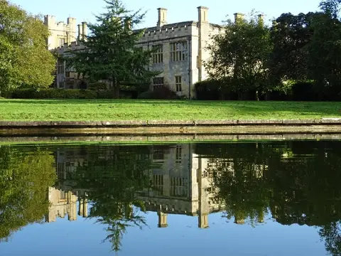
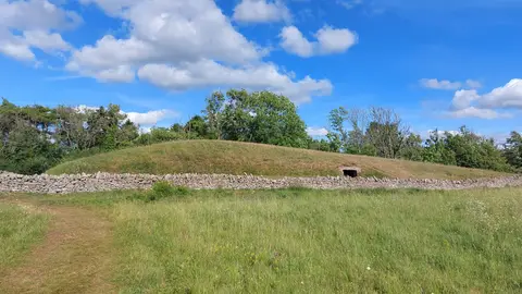
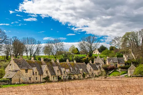
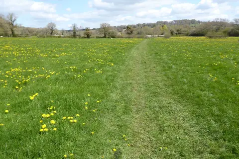
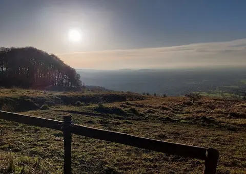
The walking is Cotswold country throughout — farmland, beech hangers, drystone walls and steep escarpment edges — and the two loops between them string together a good deal of what the area is known for. Along the way the route passes Stanway House with its great restored fountain, Snowshill Manor, and Belas Knap, one of the best-preserved Neolithic long barrows in the country. The eastern loop reaches Cleeve Hill, the highest point of the Cotswolds, from which the views run out over the Severn Vale to the Malverns and Wales.
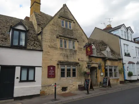
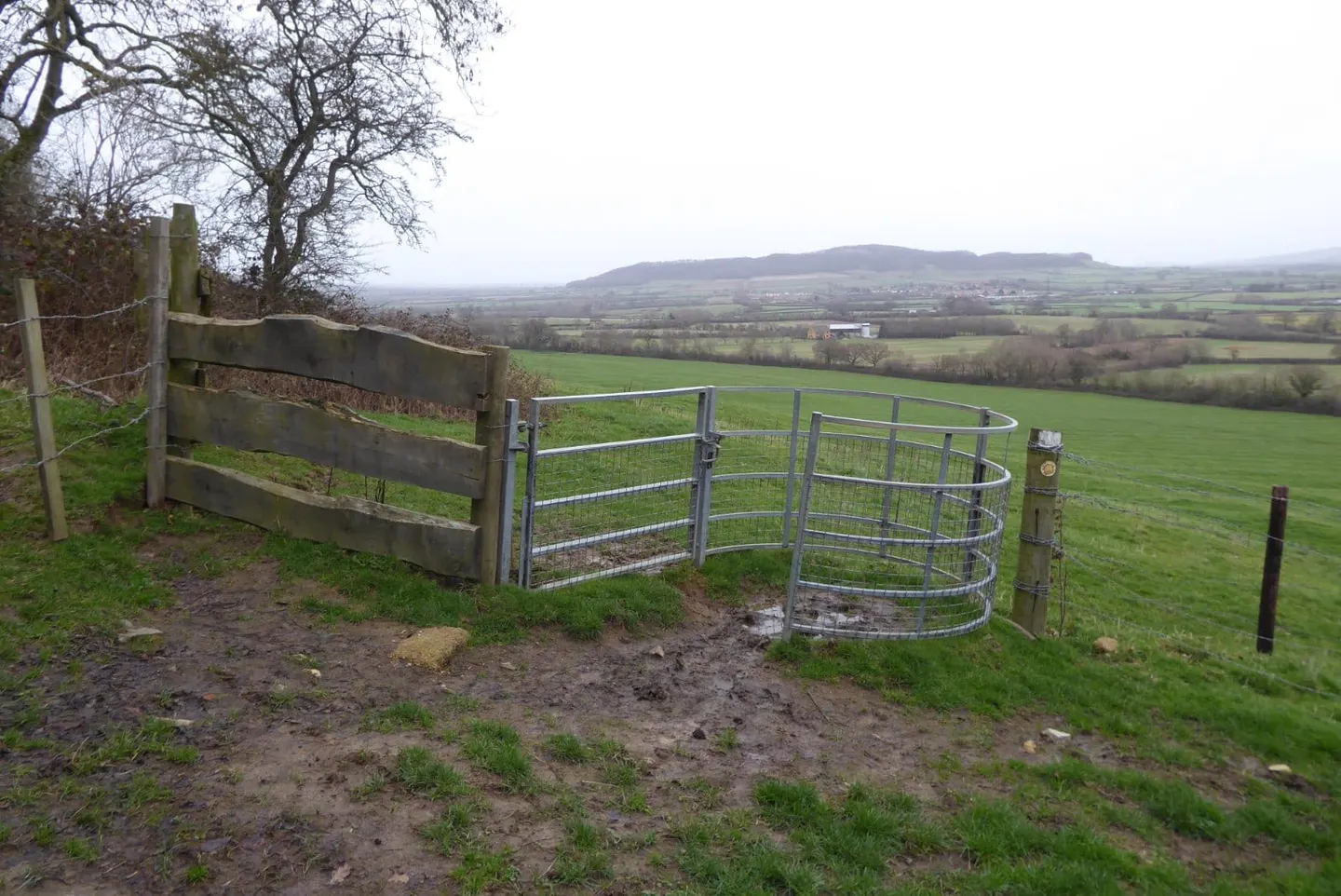
The route is waymarked and promoted locally from Winchcombe, which markets itself as a walkers’ town and sits at the meeting of several Cotswold paths. It is reachable by bus from Cheltenham, and the heritage railway runs to a station just outside the town, so the walk is easy to base yourself on for a day loop or a weekend.