Photo Humans Made This / Unsplash
Places to explore near Cheltenham
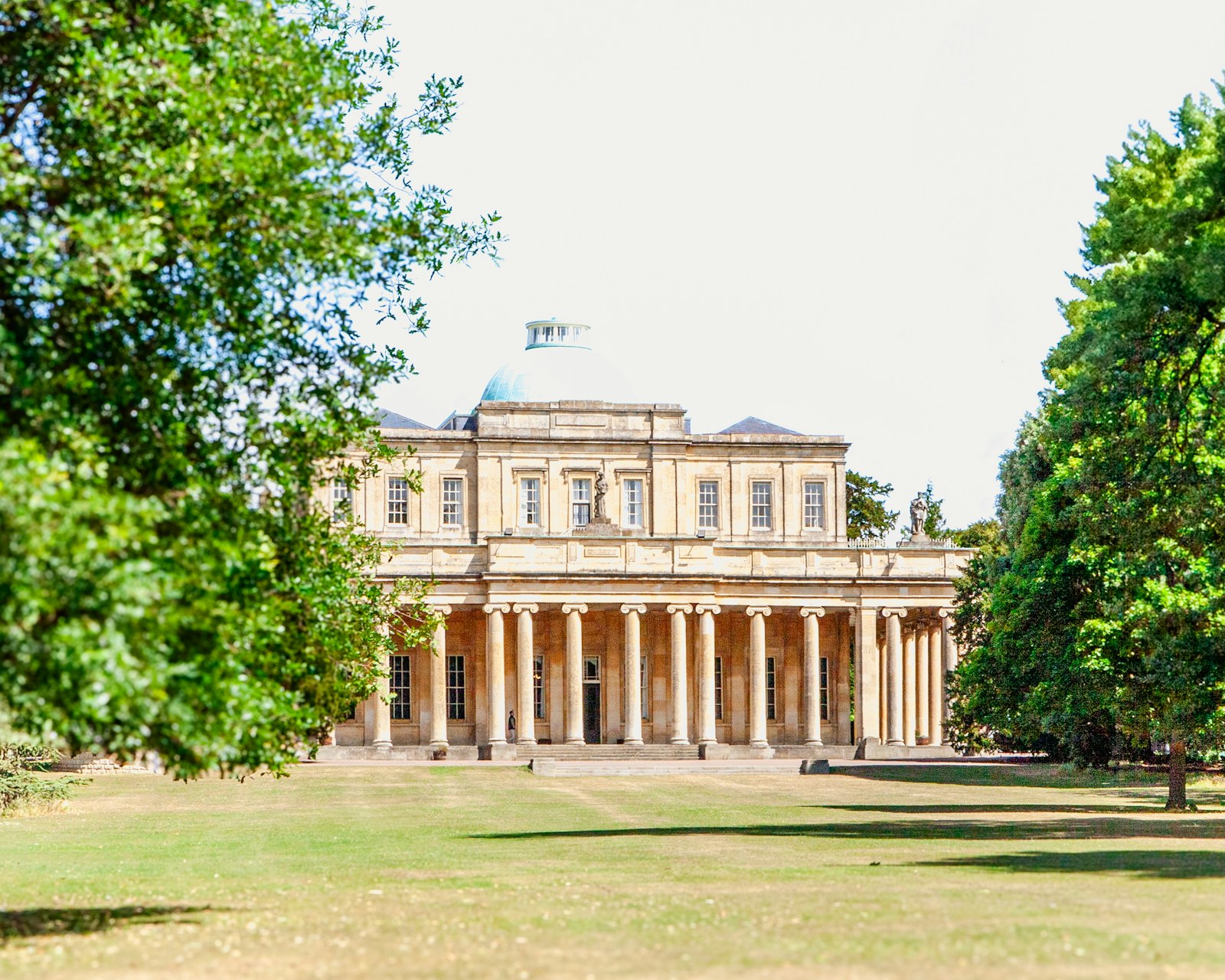
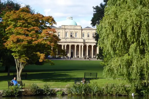
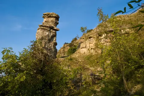
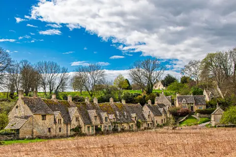
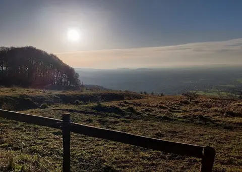
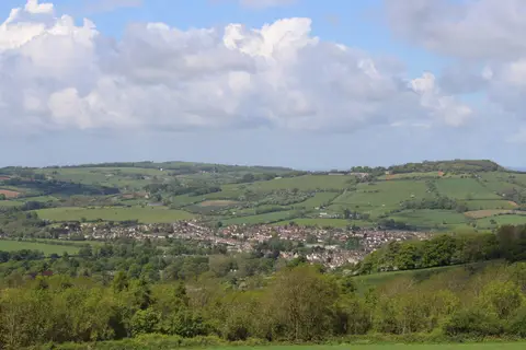
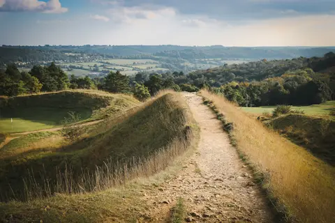
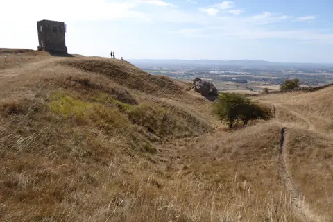
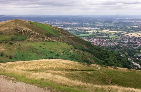
A mineral spring discovered in 1716 turned Cheltenham into a Regency spa, and its wide promenades, ironwork balconies and Pittville Pump Room still give it the most complete Regency townscape in England. The Cotswold scarp rises sharply to the east. Cleeve Hill, the highest ground in the Cotswolds, looks down over the town, the limestone pinnacle of the Devil's Chimney juts from Leckhampton Hill nearby, and the ramparts of Crickley Hill guard the edge. The Cotswold Way threads all three along the escarpment.
118 places within 25 km — the standouts first, nearest first within each group. 5 are national icons.
Worth the tripnational icons and local highlights within reach


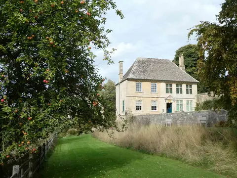
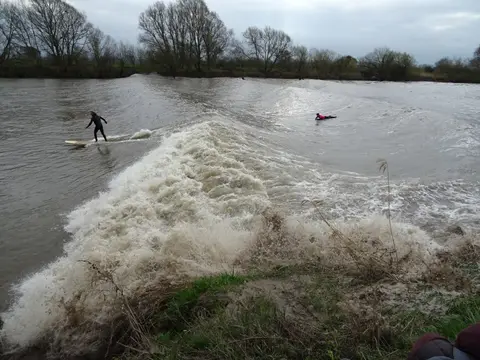
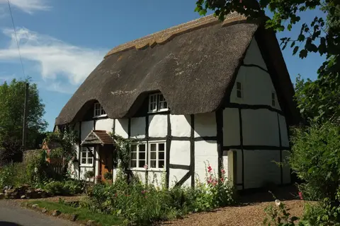
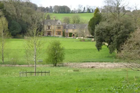
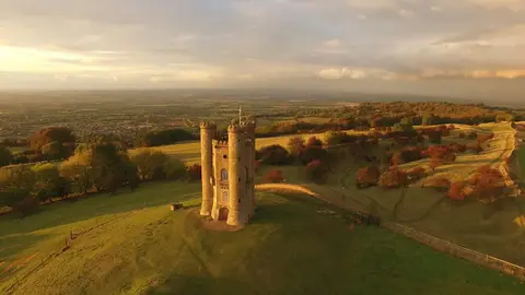
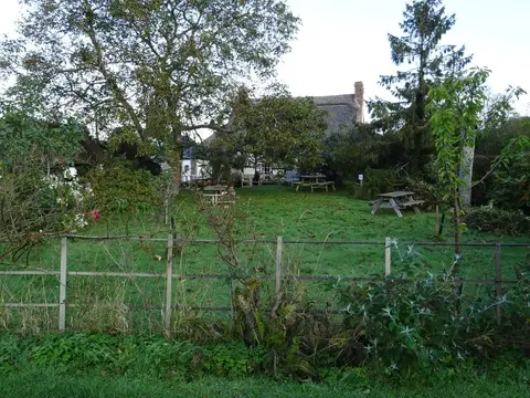
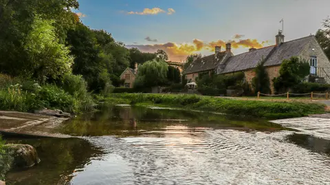
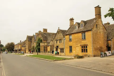
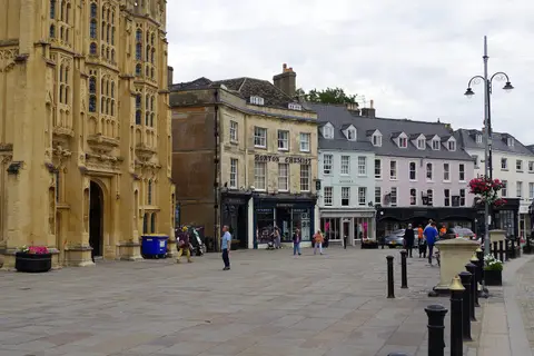
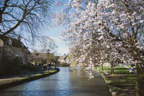
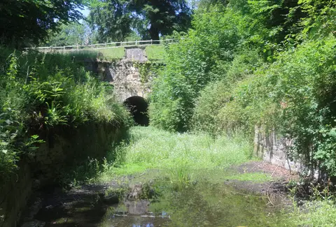
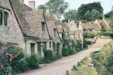
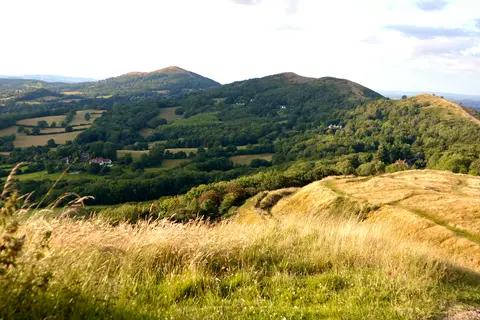
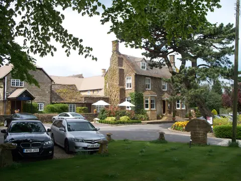
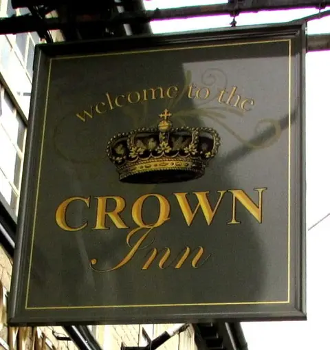
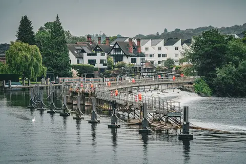
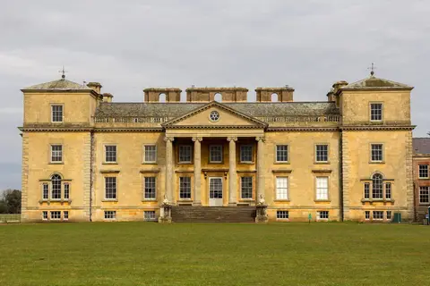
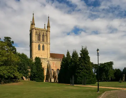
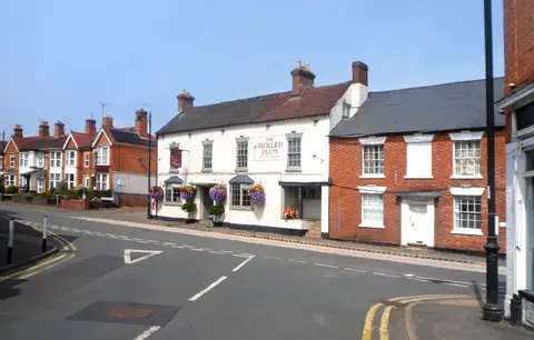
Also nearbygood places nearby, nearest first
Everything else within 25 km (53) — reserves, earthworks & places to check before travelling
- Robinswood Hill Country ParkCountry park12.4 km SW
- St Oswald's PrioryPriory12.5 km W
- Geopark WayLong-distance path12.6 km W
- Wysis WayLong-distance path12.6 km W
- Greyfriars, GloucesterFriary12.6 km W
- Gloucester & Sharpness CanalCanal13 km W
- Miserden Park GardensHouse & garden13.1 km S
- MiserdenVillage13.1 km S
- Gloucester BreweryBrewery13.2 km W
- Diamond WayLong-distance path13.4 km E
- The Cheltenham EscarpmentNational Nature Reserve3.5 km S
- Cleeve CommonSSSI4.2 km NE
- BadgeworthSSSIaccess unclear4.4 km SW
- Lineover WoodSSSIaccess unclear4.8 km SE
- Puckham WoodsSSSIaccess unclear5.3 km E
- Crickley Hill and Barrow WakeSSSI5.6 km S
- Dryhill Roman villaRoman archaeological siteaccess unclear5.8 km S
- Whittington Court Roman villaRoman archaeological siteaccess unclear6.6 km E
- Coberley Roman VillaRoman archaeological siteaccess unclear7.3 km S
- Wadfield Roman villaRoman archaeological siteaccess unclear8 km NE
- Knap House Quarry, BirdlipSSSIaccess unclear8 km S
- Cowley ManorHouse & gardenaccess unclear8.1 km S
- Coombe Hill CanalSSSIaccess unclear8.1 km NW
- Norbury CampHillfortaccess unclear8.4 km SE
- Hucclecote Roman villaRoman archaeological siteaccess unclear8.8 km SW
- Bushley Muzzard, BrimpsfieldSSSIaccess unclear8.9 km S
- Dixton WoodSSSIaccess unclear9.1 km N
- Winchcombe AbbeyAbbeyaccess unclear9.3 km NE
- Cockleford MarshSSSIaccess unclear9.3 km S
- Brimpsfield Castle moundEarthworks of a former castleaccess unclear9.6 km S
- Brimpsfield CastleCastleaccess unclear9.7 km S
- Great Witcombe Roman VillaRoman villaaccess unclear9.7 km SW
- Hucclecote MeadowsSSSIaccess unclear9.8 km SW
- Spoonley Wood Roman villaRoman archaeological siteaccess unclear9.9 km E
- Innsworth MeadowSSSIaccess unclear9.9 km W
- Cotswold Commons and BeechwoodsNational Nature Reserve10 km SW
- St John the Evangelist, ElkstoneChurch10.2 km S
- Turvey's PieceSSSIaccess unclear10.3 km NW
- St Mary's Church, DeerhurstChurch10.6 km NW
- Hampen Railway CuttingSSSIaccess unclear10.8 km E
- Wainlode CliffSSSIaccess unclear10.9 km W
- Battle of TewkesburyBattlefield11.1 km NW
- Holm CastleSite of a former castleaccess unclear11.4 km NW
- Compton Abdale Roman villaRoman archaeological siteaccess unclear11.5 km SE
- Severn Ham, TewkesburySSSI11.7 km NW
- Ashleworth HamSSSIaccess unclear11.9 km W
- Chaceley MeadowSSSIaccess unclear12.3 km NW
- Blackfriars, GloucesterFriaryaccess unclear12.6 km W
- Hailes AbbeyAbbeyaccess unclear12.6 km NE
- Old River Severn, Upper LodeSSSIaccess unclear12.6 km NW
- Misarden Park motteEarthworks of a former castleaccess unclear13.2 km S
- Notgrove Railway CuttingSSSIaccess unclear13.2 km E
- Alderton Hill QuarrySSSIaccess unclear13.3 km NE
Ordered by how far each place is worth travelling for, then by distance. Distances are straight-line to the nearest edge of each place — paths wind, of course.