Two hundred and ninety miles diagonally across England, from the Lincolnshire fens to the Dorset coast at Abbotsbury
Indicative — sampled from open terrain data along the simplified route.
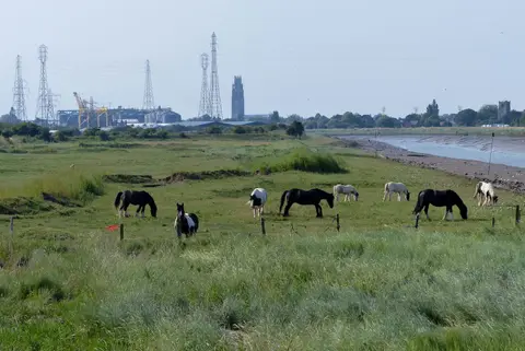
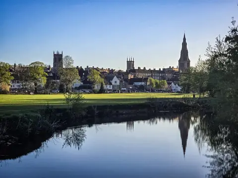
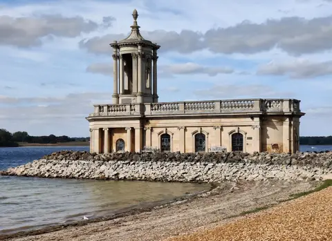
The Macmillan Way is one of the longest of England’s regional trails, running 290 miles from Boston in Lincolnshire to Abbotsbury on the Dorset coast. It crosses the country on the diagonal, and for most of its length it follows the belt of oolitic limestone that runs down through the middle of England. The first thirty miles or so are across the flat fens west of Boston; after that the route climbs onto the limestone and stays with it, through Stamford, along the shore of Rutland Water to Oakham, down into the Cotswolds by way of Stow-on-the-Wold, Cirencester and Tetbury, and on through Bradford-on-Avon to the sea. It is a walk of two or three weeks.
The going is easy in engineering terms — there are no mountains and the fen and vale sections are level — but the sheer length makes it a serious undertaking, and the field paths and byways it follows demand steady navigation. Along the way it crosses several other trails, meeting the Viking Way at Oakham, the Thames Path near the river’s source, and the South West Coast Path at Abbotsbury where it ends.
The route was created in 1997 by Peter and Janet Titchmarsh, who laid it out to raise money for Macmillan Cancer Support, the charity it is named after and still walked for. That fundraising purpose is the reason the path exists, and it accounts for the deliberately long, county-spanning line it draws across the country.