
Places to explore near Stamford StationStamford
61 places within 10 km — the standouts first, nearest first within each group. 1 is a national icon.
Worth the tripnational icons and local highlights within reach

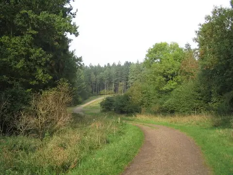
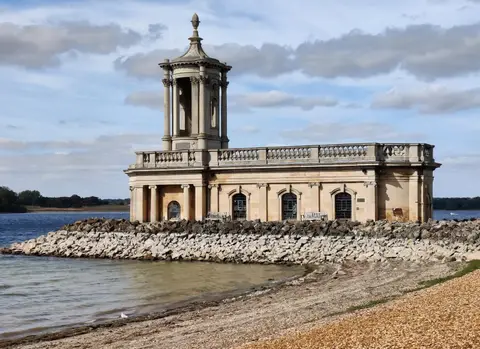
Also nearbygood places nearby, nearest first
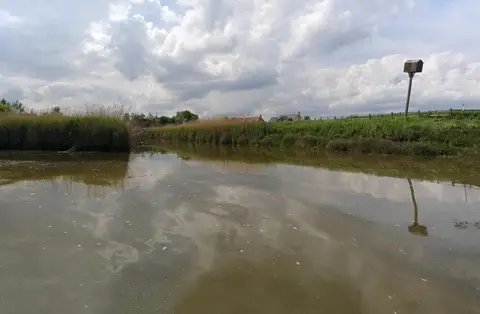

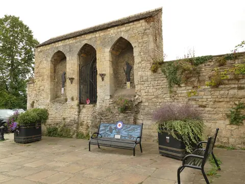
Everything else within 10 km (45) — reserves, earthworks & places to check before travelling
- Castor HanglandsNational Nature Reserve9.5 km SE
- King's CliffeVillage9.5 km S
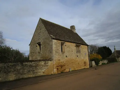
- St Michael's Priory (Lincolnshire)Prioryaccess unclear0.2 km SW
- Austin Friars PrioryPrioryaccess unclear0.5 km NW
- Greyfriars PriorySite of a former prioryaccess unclear0.9 km NE
- Ruins and site of St Leonard's PriorySite of a former prioryaccess unclear1.1 km NE
- Racecourse RoadCounty topaccess unclear2.6 km S
- Racecourse Farm FieldsSSSIaccess unclear2.6 km SW
- Great Casterton Road BanksSSSIaccess unclear2.8 km NW
- Whitewater ValleySSSIaccess unclear3.3 km S
- Collyweston QuarriesSSSIaccess unclear3.7 km SW
- Tolethorpe Road VergesSSSIaccess unclear4 km NW
- Collyweston Slate MineSSSIaccess unclear4.6 km SW
- Barnack Hills and HolesNational Nature Reserve4.8 km SE
- Ketton QuarriesSSSIaccess unclear5.1 km W
- Tickencote MarshSSSIaccess unclear5.1 km NW
- Shacklewell HollowSSSIaccess unclear5.2 km W
- Bonemills HollowSSSIaccess unclear5.3 km S
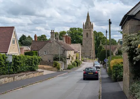
- KettonVillage5.3 km W
- East Wood, Great CastertonSSSIaccess unclear5.4 km NW
- Southorpe RoughsSSSIaccess unclear5.4 km SE
- Collyweston Great WoodNational Nature Reserve5.5 km SW
- West Abbot's and Lound WoodsSSSIaccess unclear5.8 km SE
- Woodhead CastleCastleaccess unclear6 km NW
- Bedford PurlieusNational Nature Reserve6.1 km S
- Southorpe MeadowSSSIaccess unclear6.3 km SE
- Essendine CastleCastleaccess unclear6.5 km N
- Ryhall Pasture and Little Warren VergesSSSIaccess unclear6.6 km N
- Bloody Oaks QuarrySSSIaccess unclear7 km NW
- Southorpe PaddockSSSI7 km SE
- Rutland Roman villaRoman archaeological siteaccess unclear7.2 km SW
- North Luffenham QuarrySSSIaccess unclear7.2 km W
- Empingham Marshy MeadowsSSSIaccess unclear7.4 km W
- Luffenham Heath Golf CourseSSSIaccess unclear7.6 km SW
- Newell WoodSSSIaccess unclear7.8 km N
- Castle Dyke moated siteCastleaccess unclear7.9 km N
- Torpel Manor (or castle), AshtonCastleaccess unclear7.9 km E
- Wansford PastureSSSIaccess unclear8.2 km SE
- Old Sulehay ForestSSSIaccess unclear8.5 km SE
- Sutton Heath and BogSSSIaccess unclear8.6 km SE
- Clipsham Old Quarry and Pickworth WoodSSSI8.7 km NW
- Langtoft Gravel PitsSSSIaccess unclear9 km NE
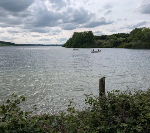
- Rutland Water Sykes LaneSwimming spot9.1 km W
- King's Cliffe BanksSSSIaccess unclear9.3 km S
- Holywell BanksSSSIaccess unclear9.6 km N
Ordered by how far each place is worth travelling for, then by distance. Distances are straight-line to the nearest edge of each place — paths wind, of course.