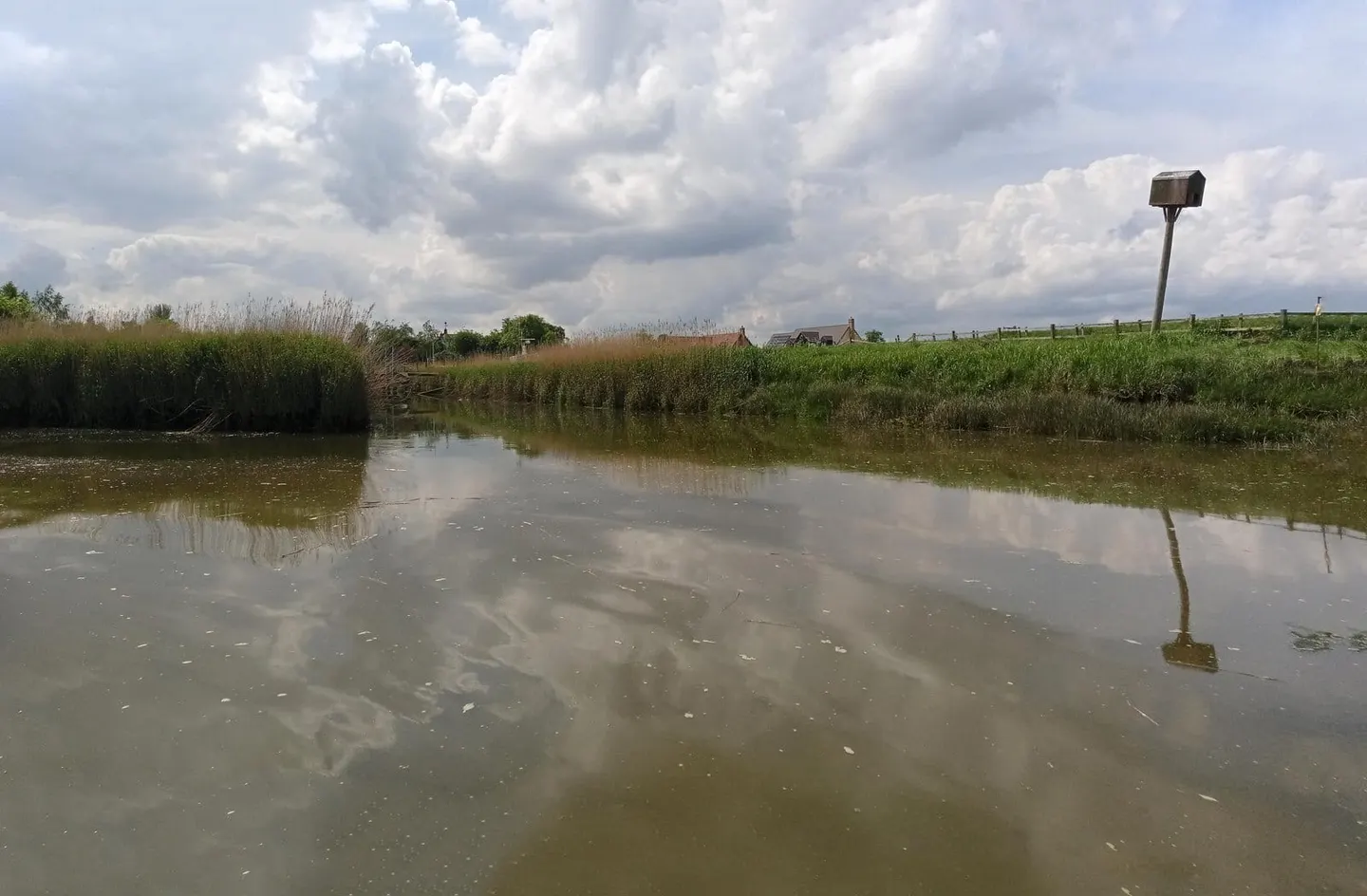
A Fenland river through south Lincolnshire, navigable from Spalding down to the Wash at Fosdyke
The River Welland rises in the Hothorpe Hills of Northamptonshire and flows some sixty-five miles northeast through Market Harborough, Stamford and Spalding to reach the Wash near Fosdyke. Only the lower part is navigable today: from around Spalding down to the sea, a level Fenland reach with a single lock at Fulney and washlands to either side that take the flood. The upper river, above Spalding, is now suitable only for canoes and light craft.
It was once navigable much further. In the 17th century the Stamford Canal was cut alongside the upper Welland, with a dozen locks carrying boats up to Stamford, and the Romans are thought to have used the river before that. That old navigation fell out of use, and the through route to Stamford is long gone; what remains is the drained, embanked lower river crossing the South Holland fens.
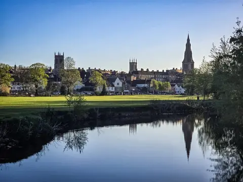
For a walker this is flat, open, big-sky country. The river runs between raised banks above reclaimed farmland, and the towns along it — chiefly Spalding, the bulb-growing capital of the Fens — sit low beside the water. Stamford, the handsome stone town at the head of the old navigation, is worth the visit in its own right even though boats no longer reach it.
Spalding has a station on the Peterborough-to-Lincoln line, making the navigable stretch easy to reach. The river forms part of the wider Fenland network and briefly touches Cambridgeshire near its mouth. It is managed by the Environment Agency.