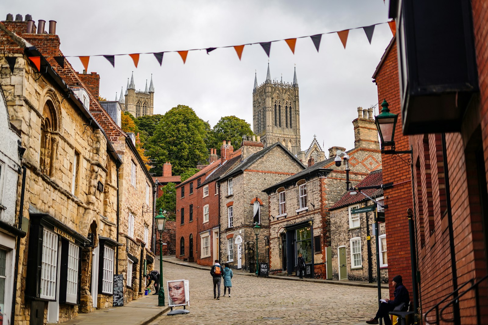
Photo Tom Wheatley / Unsplash
Places to explore near Lincoln
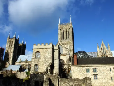
Few English skylines announce themselves like Lincoln's, where Lincoln Cathedral and Lincoln Castle crown a limestone hill above the flat country, joined to the lower town by the aptly named Steep Hill. The Romans made it a colonia and dug the Fossdyke, still navigable, through to the Trent. Chalk uplands roll away north-east in the Lincolnshire Wolds, Tennyson's home ground, while the River Witham threads south through the fens towards Boston. Country parks at Hartsholme and Whisby sit on the city's western edge.
81 places within 25 km — the standouts first, nearest first within each group. 2 are national icons.
Worth the tripnational icons and local highlights within reach
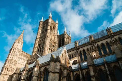
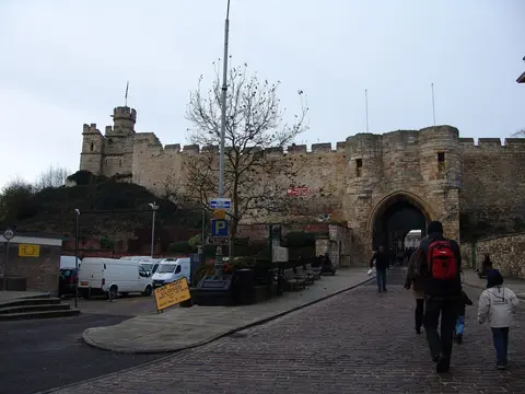
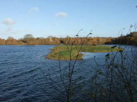
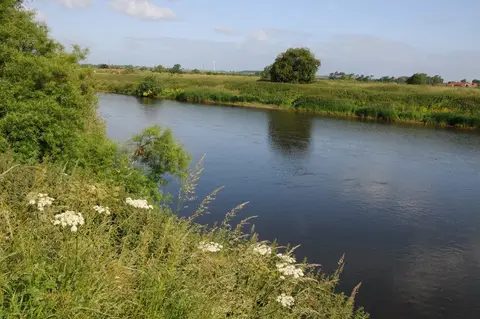
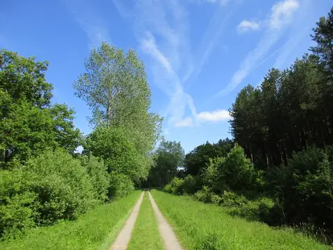
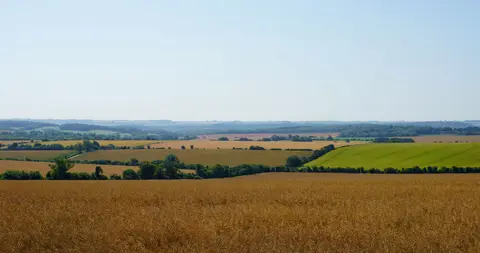
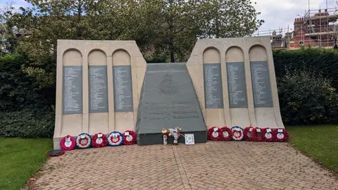
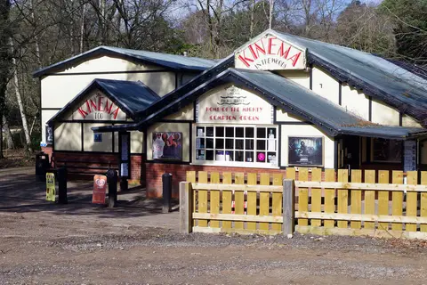
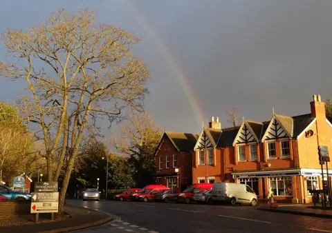
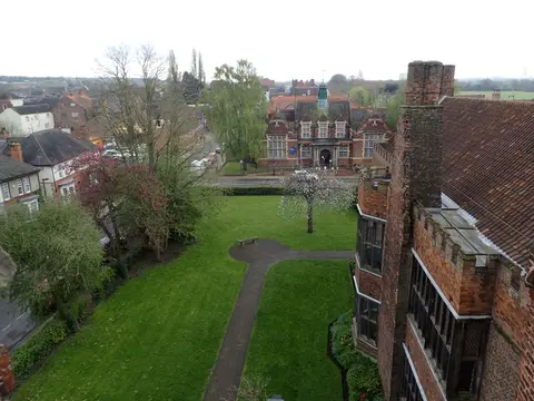
Also nearbygood places nearby, nearest first
Everything else within 25 km (60) — reserves, earthworks & places to check before travelling
- StowVillage13.8 km NW
- Stow MinsterChurch13.9 km NW
- Goltho GardensGarden15.5 km NE
- Brant BroughtonVillage18.4 km S
- Hall Farm GardensGarden18.7 km N
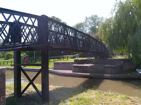
- River AncholmeRiver navigation20.1 km N
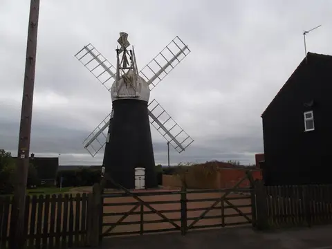
- North Leverton WindmillWindmill21.4 km NW
- FulbeckVillage21.5 km S
- The White Hart (Lincoln)Pub0.2 km E
- North gate tower of Roman EastgateRoman archaeological siteaccess unclear0.3 km NE
- Monk's AbbeyAbbeyaccess unclear1.3 km E
- Greetwell Hollow QuarrySSSI2.3 km E
- Swanholme LakesSSSI4.1 km SW
- NettlehamVillage4.9 km NE
- Roman villa W of Scampton Cliff FarmRoman archaeological siteaccess unclear7.1 km N
- Doddington Clay WoodsSSSIaccess unclear7.3 km W
- Nunnery, BroadholmeSite of a former nunneryaccess unclear8.2 km W
- Potterhanworth WoodSSSIaccess unclear10.4 km SE
- ColebyVillage11.2 km S
- Barlings PrioryPrioryaccess unclear11.4 km E
- Bardney LimewoodsNational Nature Reserve11.5 km E
- Nocton Park PrioryPrioryaccess unclear12.2 km SE
- Preceptory at Eagle HallPreceptoryaccess unclear12.6 km SW
- Metheringham Heath QuarrySSSIaccess unclear12.6 km SE
- Somerton CastleCastleaccess unclear13.2 km S
- Bullington PrioryPrioryaccess unclear13.5 km E
- Stainfield PriorySite of a former nunneryaccess unclear13.5 km E
- Bardney AbbeyMonasteryaccess unclear13.7 km E
- NavenbyVillage14.3 km S
- Spalford WarrenSSSIaccess unclear14.4 km W
- Wickenby WoodSSSI14.6 km NE
- Torksey CastleCastleaccess unclear15.6 km NW
- Besthorpe WarrenSSSIaccess unclear15.8 km W
- Gosling's CornerSSSIaccess unclear16.7 km E
- Tupholme AbbeyAbbeyaccess unclear17.1 km E
- Besthorpe MeadowsSSSIaccess unclear17.1 km SW
- Little Scrubbs MeadowSSSI17.1 km E
- Castle Hill ringworkCastleaccess unclear17.4 km S
- Normanby MeadowSSSIaccess unclear18.1 km N
- Preceptory church, Temple BruerPreceptoryaccess unclear18.3 km S
- St Helen's Church, Brant BroughtonChurch18.6 km S
- Heynings PriorySite of a former prioryaccess unclear18.8 km NW
- Segelocum Roman townRoman archaeological siteaccess unclear18.8 km NW
- Crococalana Roman townRoman archaeological siteaccess unclear19.2 km SW
- Stixwould PriorySite of a former nunneryaccess unclear20.5 km E
- Ashton's MeadowSSSIaccess unclear20.5 km NW
- High DykeSSSIaccess unclear20.5 km S
- Minting PrioryPrioryaccess unclear20.9 km E
- Ringwork at Kingshaugh FarmEarthworks of a former castleaccess unclear21.2 km W
- Catley PrioryPrioryaccess unclear21.5 km SE
- Lea MarshSSSIaccess unclear21.5 km NW
- Linwood WarrenSSSI21.8 km NE
- Temple Garth preceptorySite of a former preceptoryaccess unclear21.9 km N
- Treswell WoodSSSIaccess unclear22.1 km W
- Kingerby Beck MeadowsSSSIaccess unclear22.9 km N
- Kirkstead AbbeyAbbeyaccess unclear23.4 km SE
- Cliff HouseSSSIaccess unclear23.4 km N
- Sotby MeadowsSSSIaccess unclear23.4 km E
- East MarkhamVillage23.4 km W
- Woodhall Spa Golf CourseSSSIaccess unclear24 km E
Ordered by how far each place is worth travelling for, then by distance. Distances are straight-line to the nearest edge of each place — paths wind, of course.