Fossdyke Navigation
The Fossdyke, cut by the Romans around AD 120 — reckoned the oldest canal in England still in use
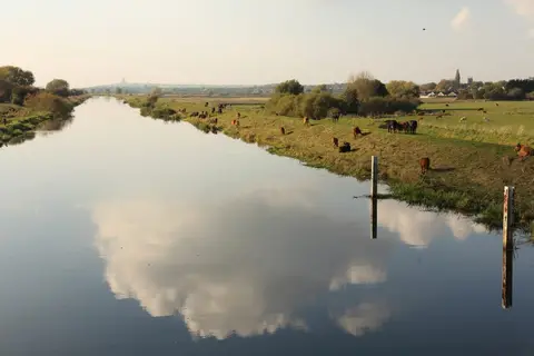
The Fossdyke Navigation is generally held to be the oldest canal in the country, dug by the Romans around AD 120 to link the River Trent with the River Witham and the legionary town of Lincoln. Eleven miles long, it runs dead straight for much of its course from Torksey Lock, on the tidal Trent, east to Brayford Pool in the middle of Lincoln, where it joins the Witham. There is a single lock, at Torksey, controlling the tide.
Whether the Romans cut it new or improved an existing channel is still argued, but the line has carried boats, on and off, for the better part of two thousand years. It silted and decayed after the legions left, was reopened in 1121 under Henry I, and was made properly reliable only in the 18th century, when the lock at Torksey and the wharves at Brayford Pool were built up for the coal and wool trade.
Today it is a quiet, level waterway through flat arable Lincolnshire, popular with cruisers heading between the Trent and the Witham. The towpath is walkable throughout and makes for easy, open going, with wide fenland skies and little in the way of gradient.
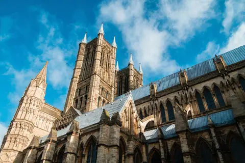
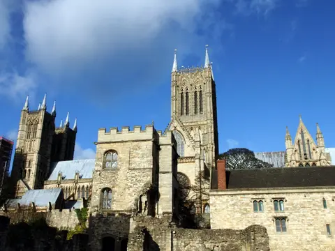
Lincoln, at the eastern end, is a natural base, with the cathedral rising on its hill above Brayford Pool and a station in the city. Torksey, at the western end, is a small place where the canal drops through its lock to the Trent; the two ends are about eleven miles apart across the level.