River Trent
Local highlightEngland's third-longest river as a broad navigation, running some 95 miles from Shardlow to the Humber
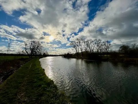
The navigable Trent runs about 95 miles from Shardlow, in Derbyshire, down through Nottingham and Newark to Trent Falls, where it joins the Yorkshire Ouse to form the Humber. This is the great river of the Midlands — the third longest in the country — and one of the main arteries of the inland waterway system, its broad locks big enough for barges and small coasters rather than only narrowboats.
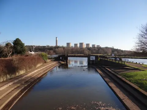
At Shardlow the river meets the Trent & Mersey Canal, and from there it is navigable all the way to the sea. The non-tidal section, worked by around ten wide manned locks, runs down to Cromwell Lock just below Newark; below Cromwell the river is tidal for some fifty miles, flowing past Gainsborough and out through the flat lands of the lower Trent to the Humber. In a couple of places boats leave the main river for short canal cuts — the Sawley and Cranfleet cuts west of Nottingham, and the Beeston and Nottingham canals through the city.
The upper navigable reaches, around Nottingham and Newark, are the busiest and most popular for cruising, with plenty of moorings and riverside towns. The tidal lower river is a different proposition: wide, fast and open, with strong currents and few stopping places, it is passage water rather than pottering water and is taken seriously by boaters.
The Trent has been used for trade since Roman times, and improvements to make it reliably navigable date from the 18th century, when locks and cuts were added to carry the coal, pottery and manufactured goods of the Midlands down towards the sea.