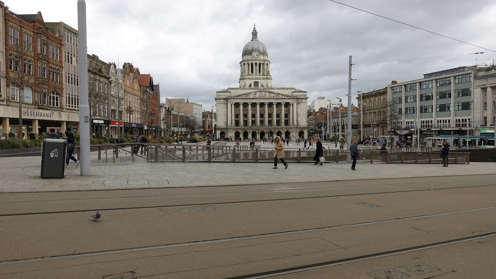
Places to explore near Nottingham
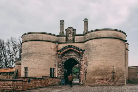
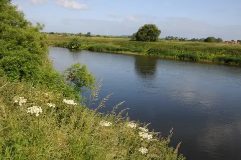
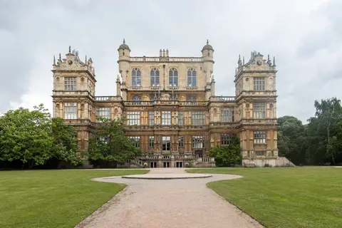
Rebuilt above a bluff of soft sandstone honeycombed with caves, Nottingham keeps its castle high over the River Trent and its outlaw legend in the oaks to the north. Sherwood Forest still holds the ancient Major Oak, and the Elizabethan Wollaton Hall stands in a deer park on the western edge. Wetland birds gather at the flooded pits of Attenborough along the River Trent, and the gritstone edges and dales of the Peak District lie within an hour to the west.
88 places within 25 km — the standouts first, nearest first within each group. 2 are national icons.
Worth the tripnational icons and local highlights within reach
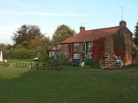
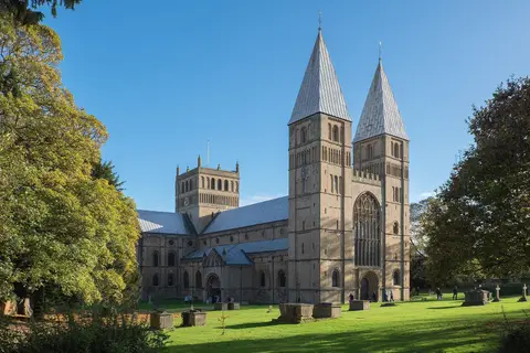
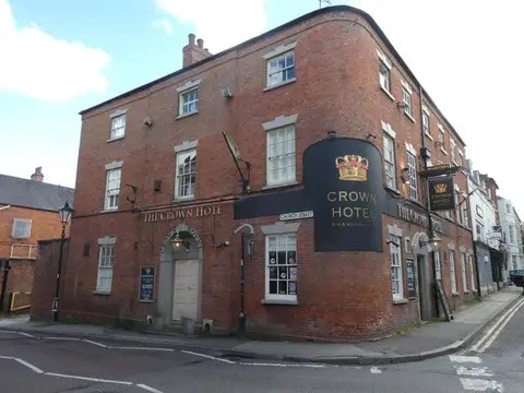
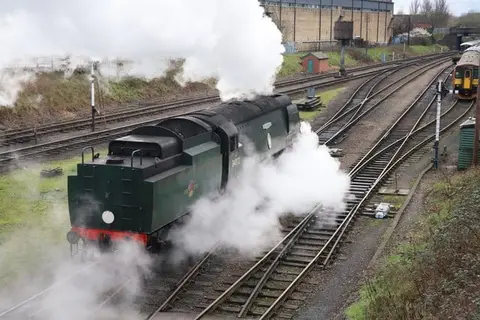
Also nearbygood places nearby, nearest first
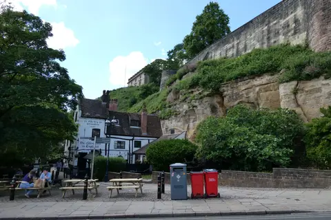
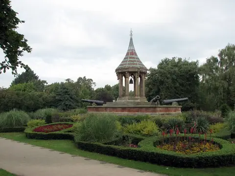

Everything else within 25 km (63) — reserves, earthworks & places to check before travelling
- Colwick Country ParkCountry park2.4 km E
- Highfields ParkHouse & garden3.6 km SW
- Holme Pierrepoint Country ParkCountry park3.7 km SE
- Bestwood Country ParkCountry park6 km N
- Travellers RestPub7.1 km NE
- Cotgrave Country ParkCountry park7.3 km SE
- Rushcliffe Country ParkCountry park7.4 km S
- The Plough (Normanton-on-the-Wolds)Pub8.9 km SE
- Erewash CanalCanal9 km W
- Church of St Mary Magdalene, HucknallChurch10.2 km N
- St Mary's Church, BunnyChurch10.4 km S
- Burntstump Country ParkCountry park10.5 km N
- LinbyVillage11.6 km N
- Cropwell Bishop CreameryFarm & farm shop11.8 km SE
- River SoarRiver navigation11.9 km SW
- Wolds Wine EstateVineyard11.9 km SE
- Shipley Country ParkCountry park12 km W
- Eglantine VineyardVineyard12.1 km S
- Cat and Fiddle MillWindmill13.4 km W
- Colston Bassett: Market CrossAncient site14.3 km SE
- The Martin's ArmsPub14.3 km SE
- Felley Priory GardenGarden14.3 km NW
- Colston BassettVillage14.4 km SE
- Trent & Mersey CanalCanal14.5 km SW
- The HuttPub14.5 km N
- Derwent Valley Heritage WayLong-distance path14.6 km SW
- Colston Bassett DairyFarm & farm shop14.7 km SE
- Hanwell Wine EstateVineyard14.7 km SE
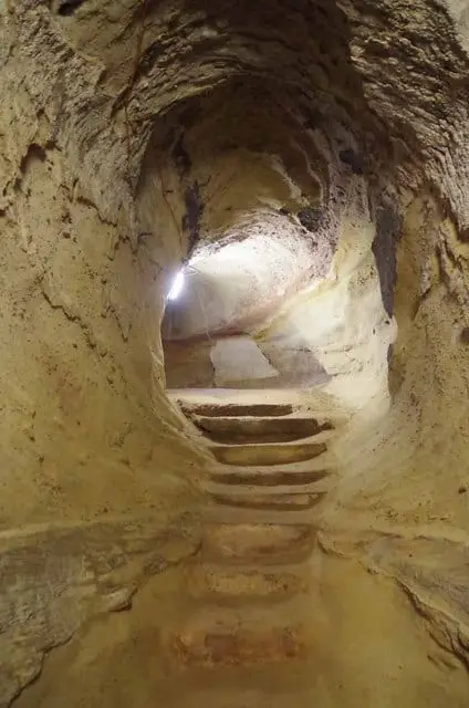
- Cellar under No 8, Castle GateCastleaccess unclear0.3 km S
- Lenton PrioryPrioryaccess unclear2.3 km SW
- Bagthorpe GardensHouse & gardenaccess unclear2.8 km N
- Colwick CuttingSSSIaccess unclear2.8 km E
- Colwick Country Park (West Lake)Swimming spot3.6 km E
- Wilford ClaypitsSSSIaccess unclear4.3 km S
- Wilwell CuttingSSSIaccess unclear4.8 km S
- Attenborough Gravel PitsSSSIaccess unclear6 km SW
- Holme PitSSSIaccess unclear6.3 km SW
- Windmill HillCounty topaccess unclear7.1 km NW
- Seller's WoodSSSIaccess unclear7.1 km NW
- Bulwell WoodSSSIaccess unclear8 km NW
- RobbinettsSSSIaccess unclear8.1 km W
- Normanton PasturesSSSIaccess unclear8.2 km SE
- Kimberley Railway CuttingSSSIaccess unclear8.3 km NW
- The WheatsheafPub8.5 km NE
- Gotham Hill PastureSSSIaccess unclear9.7 km SW
- Sledder Wood MeadowsSSSIaccess unclear10 km NW
- BunnyVillage10.4 km S
- Greasley CastleCastleaccess unclear10.7 km NW
- PapplewickVillage11.4 km N
- GunthorpeVillage11.8 km NE
- Rushcliffe Golf CourseSSSIaccess unclear11.9 km S
- Beauvale Carthusian PrioryPrioryaccess unclear12 km NW
- Linby QuarriesSSSIaccess unclear12 km N
- Papplewick HallHouse & gardenaccess unclear12.1 km N
- EastwoodVillage12.5 km NW
- Lockington MarshesSSSIaccess unclear12.6 km SW
- OxtonVillage12.9 km NE
- Annesley motteEarthworks of a former castleaccess unclear13.4 km NW
- Dale AbbeyAbbeyaccess unclear13.5 km W
- Annesley HallHouse & gardenaccess unclear13.6 km NW
- Kinoulton Marsh and CanalSSSIaccess unclear14.1 km SE
- Friezeland GrasslandSSSIaccess unclear14.3 km NW
- Bagthorpe MeadowsSSSIaccess unclear15.2 km NW
Ordered by how far each place is worth travelling for, then by distance. Distances are straight-line to the nearest edge of each place — paths wind, of course.