Fifty-five miles down the Derbyshire Derwent, from the Peak District dams to where the river meets the Trent
Indicative — sampled from open terrain data along the simplified route.
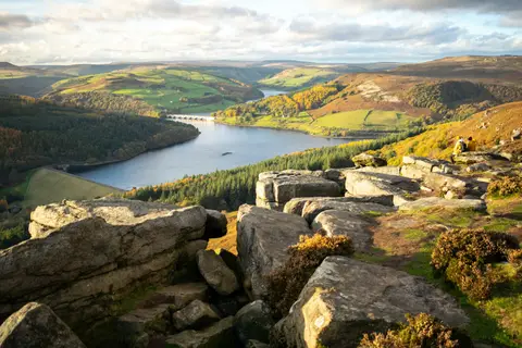
This is the Derwent of Derbyshire — the river that rises on Bleaklow and runs south through the Peak to the Trent — not the Yorkshire, Cumbrian or County Durham rivers of the same name. The Derwent Valley Heritage Way follows it for 55 miles, from Ladybower Reservoir in the Peak District down to Derwent Mouth near Shardlow, where the river joins the Trent.
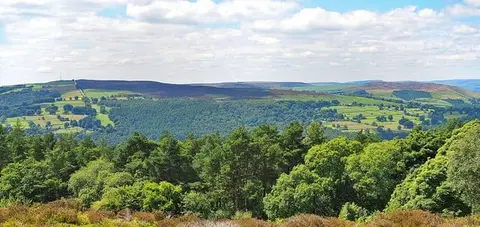
Below the reservoir the way runs through the wooded gritstone country of the northern Peak, past Baslow and the parkland of Chatsworth House, then into the narrower valley the river shares with road and railway. From Cromford south it passes through the Derwent Valley Mills — the run of 18th-century cotton mills at Cromford, Belper and beyond that are now a World Heritage Site, and where the modern factory was in effect invented. The last stretch crosses Derby on a riverside path and ends at the old inland port of Shardlow.
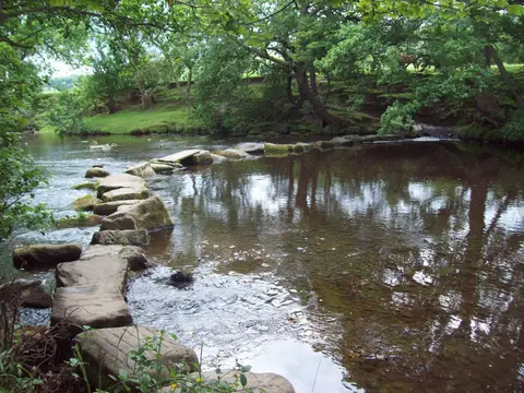
The walking is easy and low: riverbank, meadow, towpath and mill town, with almost no climbing once you are off the moor. It is waymarked throughout and well suited to being taken a day at a time.
The route was put together by the Derwent Valley Trust and opened at Chatsworth in 2003 by the Duke of Devonshire. Much of its interest is the industrial history it threads together, from the water-powered mills to the wharves that once carried their goods away.