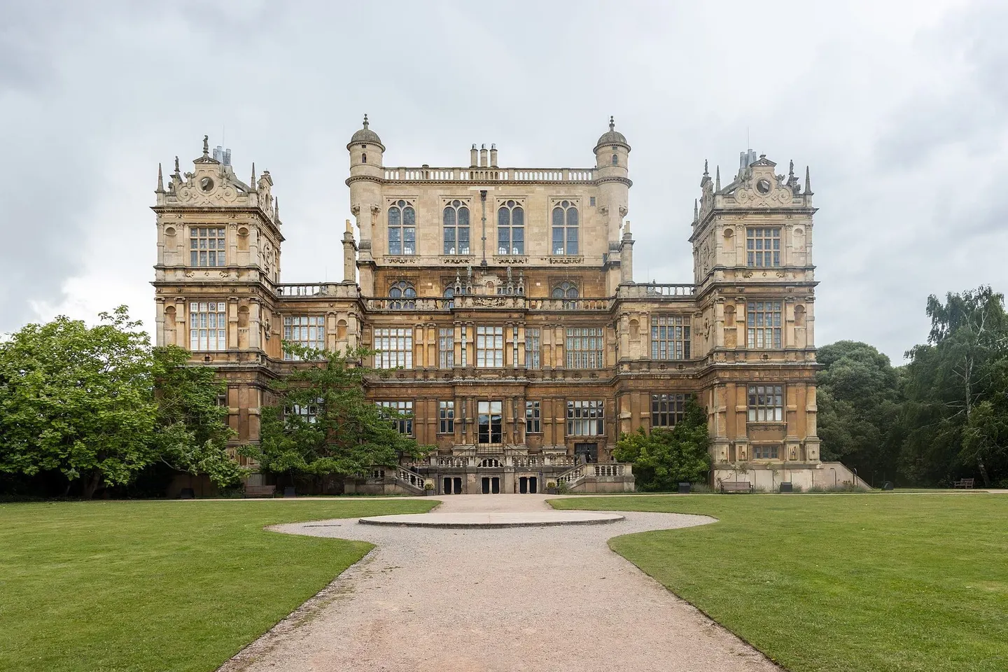
Places to explore near Derby
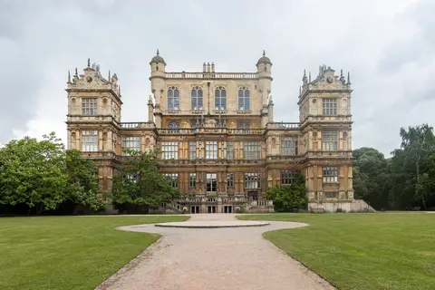
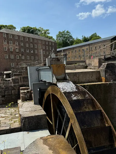
The factory system was born on the Derwent here, where Arkwright's water-powered mills strung along the valley now form a World Heritage Site. Derby stands at the southern gate of the Peak District, the last town before the hills. The limestone dale of Dovedale, with its stepping stones and pinnacles, lies to the north-west, and the ducal palace of Chatsworth House sits in its parkland beyond. Closer at hand, Robert Adam's Kedleston Hall crowns its landscaped grounds, and Mam Tor marks the divide between White and Dark Peak.
98 places within 25 km — the standouts first, nearest first within each group. 4 are national icons.
Worth the tripnational icons and local highlights within reach
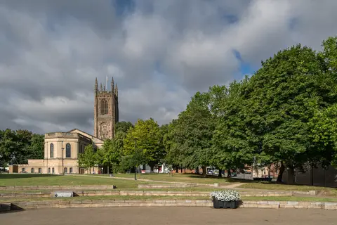
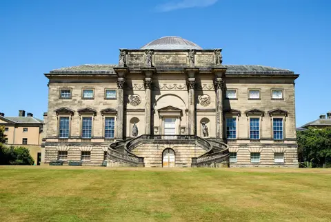

Also nearbygood places nearby, nearest first

Everything else within 25 km (62) — reserves, earthworks & places to check before travelling
- Melbourne HallHouse & garden11.9 km S
- River GardensHouse & garden12.1 km N
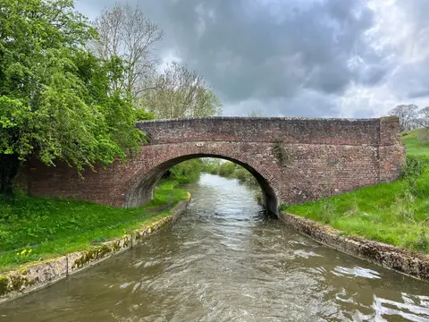
- Erewash CanalCanal12.6 km E
- Scaddows Farm & VineyardVineyard13.3 km S
- St Mary and St Hardulph, BreedonChurch13.9 km S
- Robin Hood WayLong-distance path14 km E
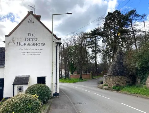
- Three Horseshoes, Breedon on the HillPub14.3 km S
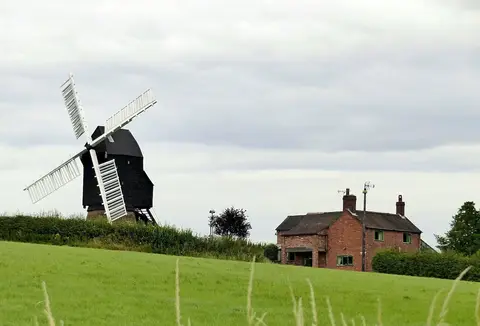
- Heage WindmillWindmill14.6 km N
- River SoarRiver navigation14.9 km E
- Holy Trinity, Staunton HaroldChurch15.5 km S
- Staunton Harold HallHouse & garden15.8 km S
- Ye Olde Dog & PartridgePub15.8 km SW
- St Mary's Priory Church, TutburyChurch15.8 km SW
- Alport HeightCountry estate16.1 km N
- White Peak DistilleryDistillery16.3 km N
- Midland Railway Centre Country ParkCountry park16.5 km NE
- TutburyVillage17.2 km SW
- Bluebell Arboretum and NurseryGarden17.4 km S
- Darley AbbeyAbbeyaccess unclear2.2 km N
- Rykneld Street Roman roadRoman archaeological siteaccess unclear3.5 km SW
- Breadsall Railway CuttingSSSIaccess unclear4.4 km NE
- Kedleston ParkSSSIaccess unclear4.5 km NW
- Allestree ParkCounty topaccess unclear4.6 km N
- Boulton MoorSSSIaccess unclear5.2 km SE
- Motte south-west of Morley House FarmEarthworks of a former castleaccess unclear6.2 km NE
- Morley Brick PitsSSSIaccess unclear6.5 km NE
- Horsley CastleCastleaccess unclear7.4 km N
- Swarkestone Old HallHouse & gardenaccess unclear7.9 km S
- Twelfth century tower keep castleCastleaccess unclear7.9 km N
- Twyford hengeHengeaccess unclear8.1 km S
- Dale AbbeyAbbeyaccess unclear8.7 km E
- Mercaston Marsh and Muggington BottomsSSSIaccess unclear10.2 km NW
- St Wystan's Church, ReptonChurch10.4 km SW
- Rykneld Street section of Roman roadRoman archaeological siteaccess unclear10.6 km N
- Donington ParkSSSIaccess unclear10.9 km SE
- Hilton Gravel PitsSSSIaccess unclear10.9 km SW
- Melbourne CastleCastleaccess unclear11.5 km S
- Ticknall QuarriesSSSI11.8 km S
- Calke ParkNational Nature Reserve12.6 km S
- Mount PleasantSSSIaccess unclear13.1 km NW
- Carver's RocksSSSIaccess unclear13.3 km S
- Old River Dove, Marston on DoveSSSIaccess unclear13.5 km SW
- DimminsdaleSSSIaccess unclear13.6 km S
- Breedon HillSSSI13.7 km S
- Lockington MarshesSSSIaccess unclear14 km SE
- Hulland MossSSSI14.1 km NW
- Bretby CastleCastleaccess unclear14.3 km SW
- RobbinettsSSSIaccess unclear14.8 km E
- Ambergate and Ridgeway QuarriesSSSIaccess unclear15.2 km N
- Breedon Cloud Wood and QuarrySSSIaccess unclear15.5 km S
- Attenborough Gravel PitsSSSIaccess unclear15.7 km E
- Shining Cliff WoodsSSSIaccess unclear15.7 km N
- EastwoodVillage15.7 km NE
- Crich ChaseSSSIaccess unclear15.8 km N
- Cromford CanalSSSIaccess unclear15.8 km N
- Codnor CastleCastleaccess unclear15.9 km NE
- Tutbury CastleCastleaccess unclear16 km SW
- Pasture and Asplin WoodsSSSIaccess unclear16.1 km SE
- Windmill HillCounty topaccess unclear16.8 km NE
- Kimberley Railway CuttingSSSIaccess unclear16.9 km NE
- Burton upon Trent AbbeyAbbeyaccess unclear17 km SW
- Lount MeadowsSSSI17.2 km S
Ordered by how far each place is worth travelling for, then by distance. Distances are straight-line to the nearest edge of each place — paths wind, of course.