A 105-mile route from Nottingham Castle to Sherwood Forest, linking the places tied to the outlaw legend
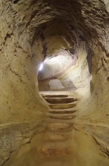
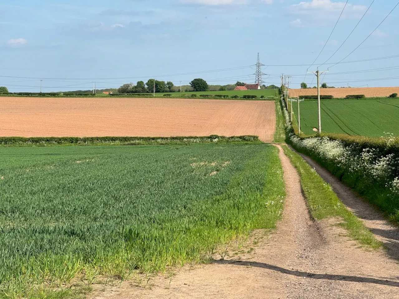
The Robin Hood Way is a long-distance path of 105 miles across Nottinghamshire, from Nottingham Castle in the city to Edwinstowe on the edge of Sherwood Forest. It threads together the sites the county associates with Robin Hood, so the interest is as much in the places as in the walking. The terrain is gentle throughout — farmland, forest, parkland and quiet lane, with no real hills — which makes it an undemanding route to plan.
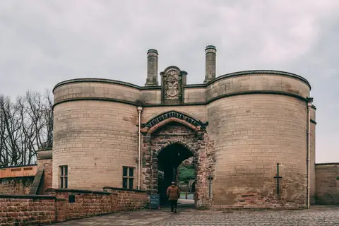
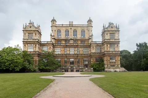
From the castle it works north and east through the Nottinghamshire countryside, taking in Wollaton Park on the city’s edge, Newstead Abbey with its lakes and priory ruins, the Georgian minster town of Southwell, and Clumber Park in the Dukeries, the belt of great estates north of Sherwood. It ends at St Mary’s Church in Edwinstowe, where by tradition Robin and Marian were married, close to the Major Oak in the surviving heart of the old royal forest.
The route was devised by members of the Nottingham Wayfarers’ Rambling Club in the 1980s and opened in 1985, running 84 miles from the castle to Edwinstowe. It was extended in 1995 to its present length, the new loop bringing in Southwell and its minster. The legend it follows is medieval, first written down in ballads, and how much of it rests on any real figure is unknown; the Way makes no claim beyond linking the spots the stories name.