Just under twelve miles up the Erewash valley, from the Trent at Trent Lock to Langley Mill, through fourteen broad locks
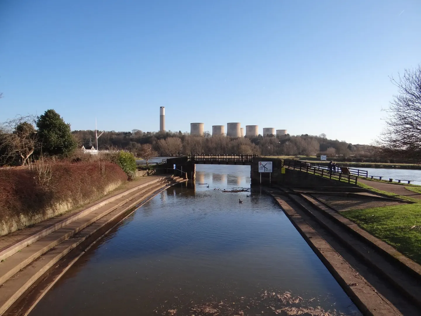
The Erewash Canal runs for a little under twelve miles up the valley of the River Erewash, which for most of its length marks the border between Derbyshire and Nottinghamshire. It leaves the River Trent at Trent Lock, where the Soar Navigation also comes in, and climbs north through fourteen broad locks to Langley Mill. There it once met the Nottingham and Cromford canals, both long derelict, though the basin at Langley Mill has been restored.
It was built to move coal. The pits of the Erewash valley needed a cheap route down to the Trent and on to Nottingham and Leicester, and an Act of 1776 authorised the canal to provide it. Work was quick and it opened in 1779. For its owners it was one of the most profitable canals in the country for a time, paying large dividends before the railways took the coal trade away.
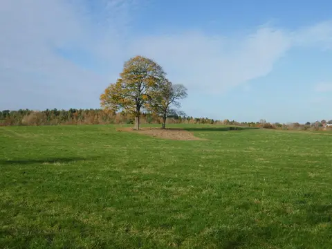
The towpath runs the full length and the walking is flat and easy, as canal towpaths tend to be. This is not remote country — the canal threads past Long Eaton, Sandiacre and Ilkeston, through a landscape that is part town, part old industry and part reclaimed green space — but it stays surprisingly quiet, and the water is well used by anglers and boats. At Sandiacre the derelict Derby Canal once branched off westward.
Both ends and several points between are close to roads and stations, so the towpath is easy to join for a short stretch or to walk end to end in a day. It is looked after by the Canal & River Trust, with a good deal of help over the years from the local canal society.